

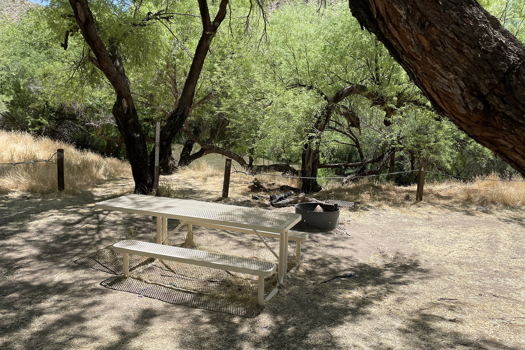
VIP RV Resort
Hiking business nearby (~43 mi away) — hasn't claimed their Roamze page yet
Free — you'll pick up right here.
Watch this trail
Sign up to watch it — saving subscribes you to gate, closure and report changes.
Arizona
5.8 mi
Distance
3,103 ft
Gain
2h 12m
Time
We won't guess. Here is exactly what we do and don't know.
What we do know
Inside Tonto National Forest
2 managing-area boundaries mapped — agency alerts for them feed this page automatically.
Boundary data
What's missing
No access route mapped
We don't yet know which road reaches this trailhead, so we can't tell you if it's gated.
Nobody's filed a report here yet — be the first.
Why you'll love it
Bobtail Ridge
AI-suggested draft · review before you go
No permit or access details on file for this trail — check with the local land manager before you go.
Bobtail Ridge is a 5.8-mile out-and-back trail located in Arizona. This route offers a relatively flat hiking experience with no elevation gain, making it accessible for hikers of various skill levels. The trail's straightforward out-and-back format allows hikers to choose their own turnaround point, with the option to complete the full distance or explore a shorter section depending on time and preference. The lack of significant elevation change means hikers can focus on enjoying the scenery and maintaining a steady pace without the physical demands of steep climbs. This trail is suitable for those seeking a moderate-distance hike that doesn't require advanced fitness levels or specialized climbing skills. Whether you're looking for a leisurely day hike or a way to build endurance on relatively easy terrain, Bobtail Ridge provides a straightforward outdoor experience in the Arizona landscape.
Middle
~0 min drive
0.9 mi · Easy
Icehouse
~1 min drive
6.8 mi · Hard
Pioneer
~3 min drive
A 4.60-mile out-and-back trail in Arizona that connects to a network of nearby trails including Icehouse, Bobtail, and Telephone.
6805A3a
~14 min drive
Quick out-and-back desert trail near 6805A3a, Arizona.
Pineline
~0 min drive
1.6 mi · Easy
Telephone
~1 min drive
7.5 mi · Hard
Check Dam
~6 min drive
3.5 mi · Moderate
6805A3
~14 min drive
Quick out-and-back desert trail near Arizona.
Ferndell
~1 min drive
1.6 mi · Easy
East Mountain
~3 min drive
8.0 mi · Hard
Local operatorsoffering guided trips. You book directly with them — Roamze doesn’t take a cut.
VIP RV Resort
Hiking business nearby (~43 mi away) — hasn't claimed their Roamze page yet