

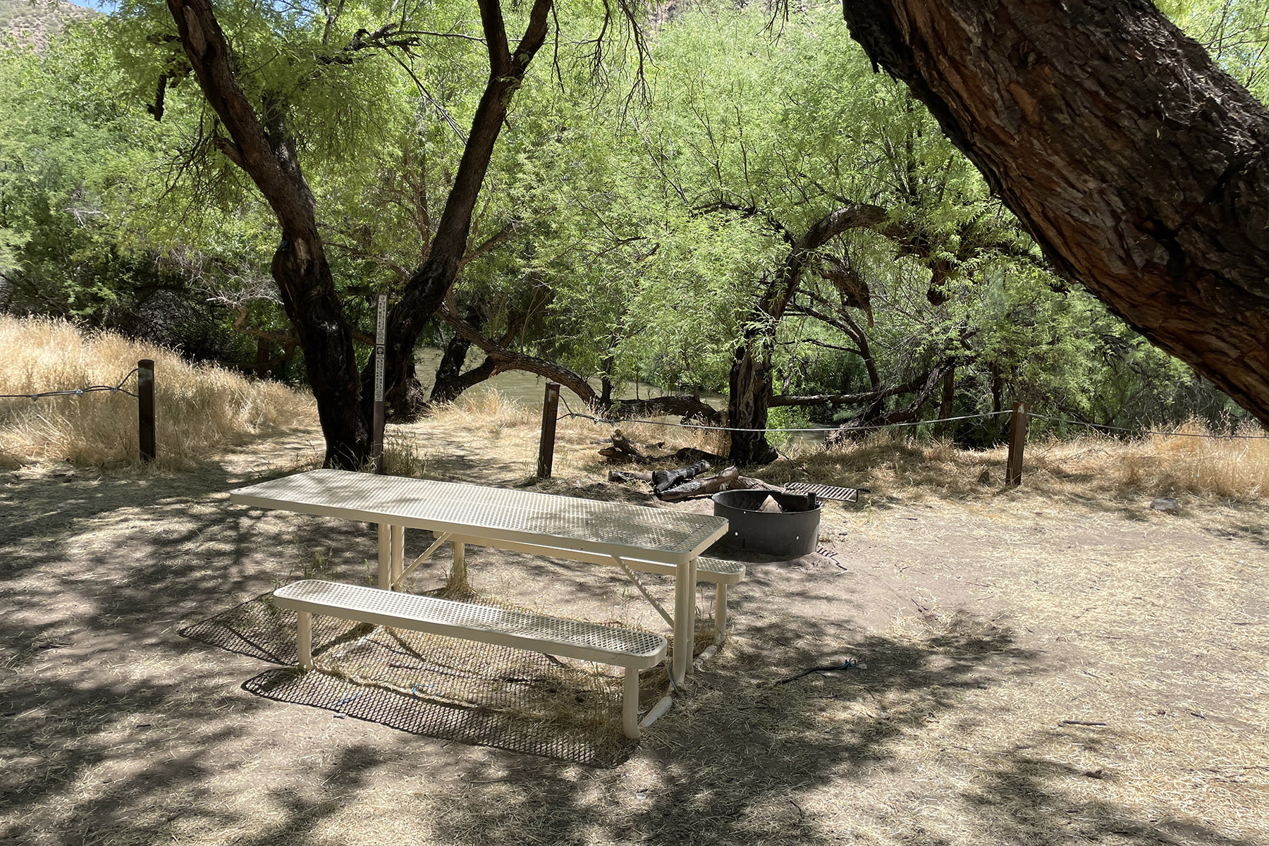
VIP RV Resort
Hiking business nearby (~45 mi away) — hasn't claimed their Roamze page yet
Free — you'll pick up right here.
Watch this trail
Sign up to watch it — saving subscribes you to gate, closure and report changes.
Arizona
4.6 mi
Distance
1,614 ft
Gain
2h 20m
Time
We won't guess. Here is exactly what we do and don't know.
What we do know
Inside Tonto National Forest
2 managing-area boundaries mapped — agency alerts for them feed this page automatically.
Boundary data
What's missing
No access route mapped
We don't yet know which road reaches this trailhead, so we can't tell you if it's gated.
Nobody's filed a report here yet — be the first.
Why you'll love it
Pioneer
AI-suggested draft · review before you go
No permit or access details on file for this trail — check with the local land manager before you go.
The Pioneer Trail is a 4.6-mile out-and-back hike located in Arizona, offering 1,614 feet of elevation gain. This moderately challenging route takes hikers through varied terrain with steady climbing throughout the journey. The elevation gain is distributed across the round trip, making for a consistent uphill push on the way out before retracing your steps on the return. As an out-and-back trail, hikers will follow the same route both directions, which provides familiarity on the descent and allows for flexibility in turning back at any point if needed. The 4.6-mile total distance makes this a manageable day hike for those with moderate fitness levels, though the substantial elevation gain requires preparation. The trail is situated in Arizona's diverse landscape. Depending on the specific location and season, conditions can vary significantly. Hikers should plan accordingly with adequate water, sun protection, and sturdy footwear suitable for climbing. Check current conditions before heading out, as Arizona trails can be affected by heat, weather, and seasonal changes.
East Mountain
~0 min drive
8.0 mi · Hard
Ferndell
~3 min drive
1.6 mi · Easy
Check Dam
~6 min drive
3.5 mi · Moderate
6805A3a
~12 min drive
Quick out-and-back desert trail near 6805A3a, Arizona.
Bobtail Ridge
~3 min drive
5.8 mi · Hard
Pineline
~3 min drive
1.6 mi · Easy
Paradise
~32 min drive
5.6 mi · Moderate
6805A3
~12 min drive
Quick out-and-back desert trail near Arizona.
Telephone
~3 min drive
7.5 mi · Hard
Middle
~3 min drive
0.9 mi · Easy
Local operatorsoffering guided trips. You book directly with them — Roamze doesn’t take a cut.
VIP RV Resort
Hiking business nearby (~45 mi away) — hasn't claimed their Roamze page yet