


Four Season Guides
Hiking business nearby (~6 mi away) — hasn't claimed their Roamze page yet
Free — you'll pick up right here.
Watch this trail
Sign up to watch it — saving subscribes you to gate, closure and report changes.
Arizona
7.2 mi
Distance
228 ft
Gain
2h 31m
Time
An agency closure order is in effect for this area; weather is good
2 factors · 2 sources
Newest 16 h ago · oldest 6 d
problem: Agency alerts
12 active alerts in Coconino National Forest; most severe: West Fork Temporary Area Closure
USFS6 d ago
clear: Weather
Clear, high 52°F / low 52°F, 0% precip — 100/100 for hike
OpenWeather16 h ago
Been out here in the last few days? One report keeps this current for everyone.
Why you'll love it
Highland
AI-suggested draft · review before you go
No permit or access details on file for this trail — check with the local land manager before you go.
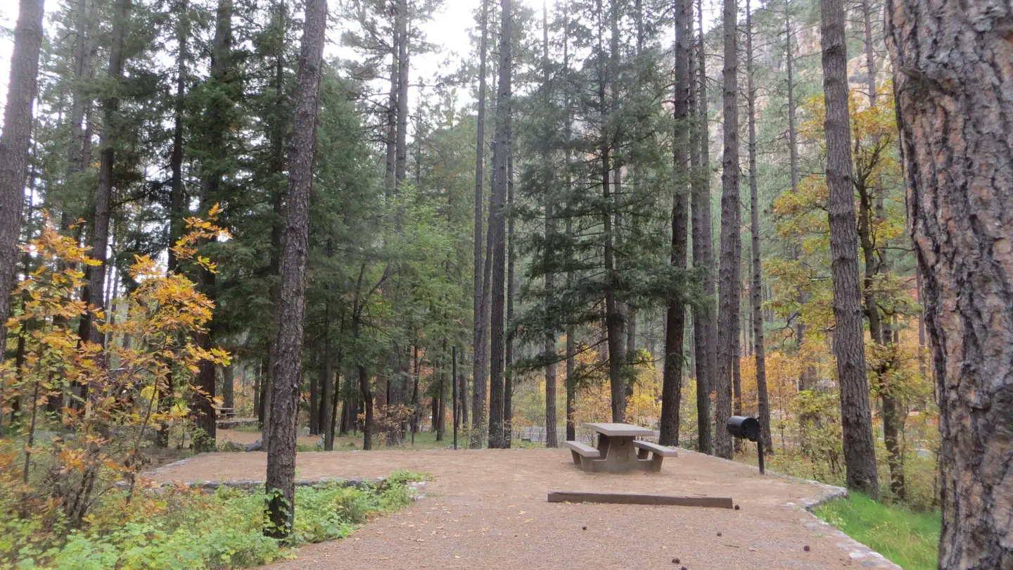
The Highland Trail is a 7.2-mile out-and-back route located in Arizona. This moderately accessible trail features 228 feet of elevation gain, making it suitable for hikers seeking a low-impact option with minimal climbing. The out-and-back format allows hikers to set their own turnaround point, making it flexible for various fitness levels and available time. The trail's relatively flat profile and manageable distance make it an ideal choice for those looking to spend a few hours on the trail without intense elevation challenges. Hikers can expect to cover approximately 3.6 miles to the furthest point before retracing their steps back to the trailhead. This route offers a straightforward hiking experience in Arizona's landscape, with the gentle elevation gain distributed across the full distance. The out-and-back design means hikers will experience the same scenery in both directions, providing familiarity on the return journey.
Highland West
~2 min drive
2.6 mi · Easy
Seminary
~3 min drive
21 mi · Hard
Arizona Trail-Flagstaff
~10 min drive
1.60-mile out-and-back trail in Arizona with 197 ft elevation gain.
Azt - Equestrian Bypass
~10 min drive
A moderate 1.05-mile out-and-back equestrian trail in Arizona that links to Sandys Canyon.
Sandys Canyon
~9 min drive
2.6 mi · Easy
Ward
~5 min drive
A 12.10-mile out-and-back trail in Arizona featuring rocky terrain and connections to the Kelly Motorized Trail System.
Azt - Fisher Point
~10 min drive
1.93-mile out-and-back trail in Arizona with 197 ft elevation gain.
Karen Cooper Trail
~12 min drive
An easy 6.70-mile out-and-back trail in Arizona that connects to the Rio North Trail system, perfect for hikers seeking an accessible desert adventure.
Rock Rut
~9 min drive
1.4 mi · Easy
Rogers
~6 min drive
11 mi · Hard
Local operatorsoffering guided trips. You book directly with them — Roamze doesn’t take a cut.
Four Season Guides
Hiking business nearby (~6 mi away) — hasn't claimed their Roamze page yet
Village Camp
Hiking business nearby (~13 mi away) — hasn't claimed their Roamze page yet
Rancho Sedona RV Park
Hiking business nearby (~17 mi away) — hasn't claimed their Roamze page yet