Hidden Valley Trail
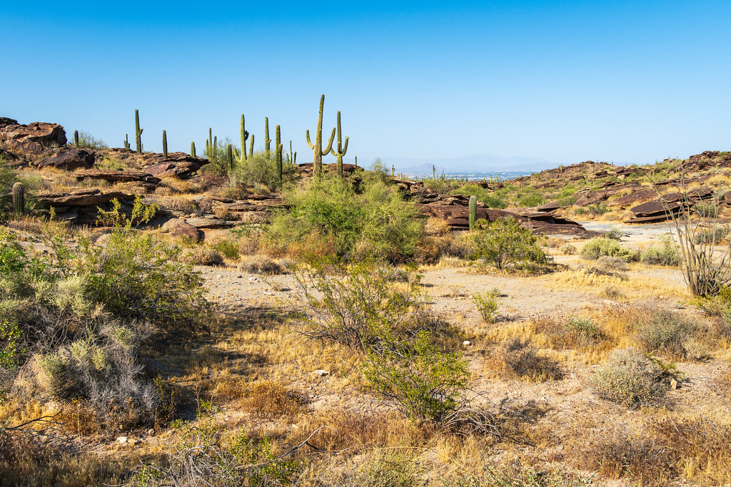 Photo: dconvertini, CC BY-SA 2.0 (via Flickr)
- 1.0 mi
- round trip
- 33 ft
- climb
- 2,094 ft
- high point
- Out and back
- route
- Nov–Apr
- best months
Hidden Valley Trail is a short, easy out-and-back hike in Phoenix South Mountain Park, on city land about 0.97 miles long. The route rises about 33 feet from a low point at 1,955 feet to a high point at 2,094 feet. The most comfortable months to visit are winter and early spring. Typical averages from a nearby weather station in South Phoenix run from highs around 67°F in January to about 78°F in March, while summer highs top 100°F from June through August. The trail is a practical choice for a quick outing. It works well for a short walk or as a connector to the surrounding park. Bikes and horses are both allowed, so it suits a range of visitors. Rock Tunnel Area, a climbing area, sits about 0.3 miles away, and the Mormon Trail and Young Man Trail are each about half a mile off. Scrap Metal, another climbing area, is about half a mile away as well.
Local outfitters
- VIP RV Resort27 mi away
- Arizona Desert Mountain Jeep Tours34 mi away
Not on Roamze yet. Their page has how to reach them.
Best time to go · Nov–Apr
Best time to visit Hidden Valley Trail
Best months: November–April. Best months have typical highs of 55–85 °F, lows of 30 °F or warmer (32 °F where the station doesn't record snow), at most one snowy day and no more than 12 wet days.
Jan
67° / 42°
4 wet
Feb
71° / 44°
4 wet
Mar
78° / 48°
4 wet
Apr
85° / 54°
2 wet
May
93° / 61°
1 wet
Jun
101° / 69°
1 wet
Jul
103° / 77°
2 wet
Aug
101° / 78°
3 wet
Sep
97° / 71°
3 wet
Oct
87° / 59°
2 wet
Nov
74° / 48°
2 wet
Dec
65° / 41°
3 wet
Typical high / low (°F) and days with rain or snow, 1991–2020. Measured at South Phoenix, AZ, 3.5 mi away at 1,155 ft. The station sits about 900 ft lower than this place, so expect it a little cooler here. Source: NOAA NCEI U.S. Climate Normals 1991–2020.
Keep exploring — more trails worth the drive
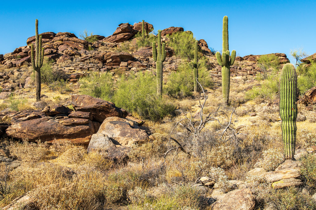 Photo: dconvertini, CC BY-SA 2.0 (via Flickr)
Mormon Trail
Next door
2.71-mile out-and-back hike in Arizona with 634 ft elevation gain.
Photo: dconvertini, CC BY-SA 2.0 (via Flickr)Young Man Trail
Next door
1.72-mile out-and-back hike in Arizona with 864 ft gain and 2,205 ft max elevation.
 Photo: Joe K Gage, CC BY-SA 2.0 (via Flickr)
Desert Classic Trail
~4 min drive
17.36-mile out-and-back trail in Arizona with 269 ft elevation gain.
 Photo: vwcampin, CC BY 2.0 (via Flickr)
Mormon Loop Trail
~2 min drive
2.56-mile out-and-back hike in Arizona with 426 ft gain.
 Photo: Mountain Mike Johans…, CC BY 3.0 (via Wikimedia Commons)
Old Man Trail
~2 min drive
2.82-mile out-and-back trail in Arizona with 1,670 ft elevation gain
 Photo: squeaks2569, CC BY-SA 2.0 (via Flickr)
Ranger Trail
~7 min drive
2.95-mile out-and-back hike in Arizona with 301 ft gain.
Photo: vwcampin, CC BY 2.0 (via Flickr)Ridgeline Trail
~2 min drive
3.26-mile out-and-back hike in Arizona with 927 ft elevation gain
 Photo: Mountain Mike Johans…, CC BY 3.0 (via Wikimedia Commons)
Holbert Trail
~3 min drive
3.9-mile out-and-back trail in Arizona with 1,837 ft elevation gain
Photo: Mountain Mike Johans…, CC BY 3.0 (via Wikimedia Commons)Tondum Wihom Trail
~2 min drive
4.80-mile out-and-back hike in Arizona with 253 ft elevation gain.
Photo: squeaks2569, CC BY-SA 2.0 (via Flickr)Bajada Trail
~7 min drive
7.04-mile out-and-back trail in Arizona with 242 ft elevation gain.
Also worth it near here

Map and trail data © OpenStreetMap contributors
