Cunningham Loop
- 7.4 mi
- loop
- 468 ft
- climb
- 9,397 ft
- high point
- Loop
- route
Cunningham Loop is a 7.4-mile hike in the Safford Ranger District of Coronado National Forest in Arizona, managed by the Forest Service. The trail starts at the Cunningham Camp Trailhead, which is open year-round and has parking labeled CUNNINGHAM CAMP TH. The route gains about 468 feet in elevation, from a low point of 8,980 feet to a high of 9,397 feet, and is rated hard. The trail is natural-surfaced and allows bikes, but it is not an accessible route. The climb is spread across the full length of the loop, and the trail is best suited for a day of steady hiking rather than a quick outing. The Grant Hill Loop Trail #322 and its mountain biking variant, Grant Hill Loop C, both sit about 0.2 miles away. For an overnight stay, Hospital Flat and Upper Hospital Flat Group Site are each about half a mile off.
- Grant Hill Loop Trail #322Hiking0.2 mi
 Grant Hill Loop CMountain bikingPhoto: Outdoor Craziness, CC BY-SA 3.0 (via Wikimedia Commons)0.2 mi
- Grant Hill Loop AHiking0.2 mi
- Grant Hill Loop DHiking0.4 mi
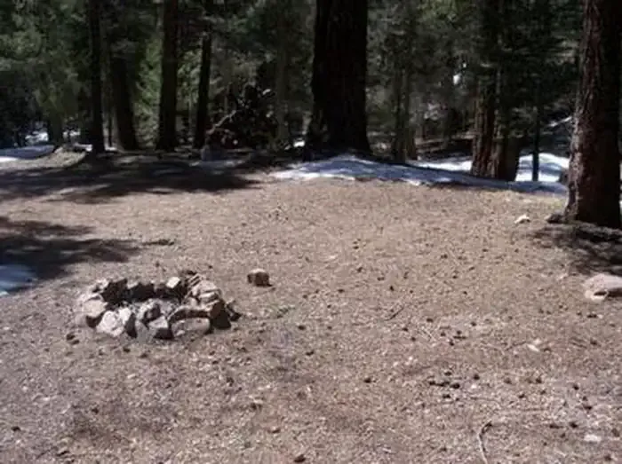 Upper Hospital Flat Group SiteCampingPhoto: Recreation.gov (RIDB) / public domain0.5 mi
- Hospital FlatCamping0.5 mi
- Treasure Park - NorthCamping0.8 mi
- Treasure Park - EastCamping0.8 mi
Source: Roamze catalog (indexable pages within 10 miles, PostGIS distance)
