Lynx Campground
Campground
Campground · 6.8 mi from the trail
 Photo: Scottb211, CC BY 2.0 (via Flickr)
The Gateway Trail is an easy out-and-back hike in Arizona, about 0.6 miles from the community of Granite Dells. The trail is short, about 1.2 miles long, and climbs roughly 115 feet one way, with the high point at about 5,099 feet. The climb is front-loaded, with the steepest section at about 0.32 miles in, and the trail returns to the starting elevation of about 5,020 feet. Spring and fall are the most comfortable times to go. Typical averages from a nearby weather station in Prescott put May highs around 77°F and October highs around 73°F, with lows near 47°F and 42°F. Summer runs hotter, with July highs around 90°F. The estimated time for the hike is about half an hour, and the trail is close to other options. Soggy Bottom Trail is about 0.2 miles away, and Shady Grove and The Corndog Wall climbing areas are each about 0.3 miles off. For a longer outing, Lynx Campground is about 6.8 miles away.
Lynx Campground
Campground
 If it rainsDoncram, CC BY-SA 3.0 · Wikimedia Commons
An open-air museum located in Prescott, Arizona
Places © OpenStreetMap contributors, Places © Overture Maps Foundation · Photos: Doncram, CC BY-SA 3.0 (commons)
More in PrescottNot on Roamze yet. Their page has how to reach them.
 Soggy Bottom TrailHikingPhoto: Scottb211, CC BY 2.0 (via Flickr)0.2 mi
 Shady GroveRock climbingPhoto: Chris English, CC BY-SA 3.0 (via Wikimedia Commons)0.3 mi
 The Corndog WallRock climbingPhoto: Raniel Diaz from Corona del Mar, United States, CC BY 2.0 (via Wikimedia Commons)0.3 miSilverback TrailHikingPhoto: Scottb211, CC BY 2.0 (via Flickr)0.5 mi
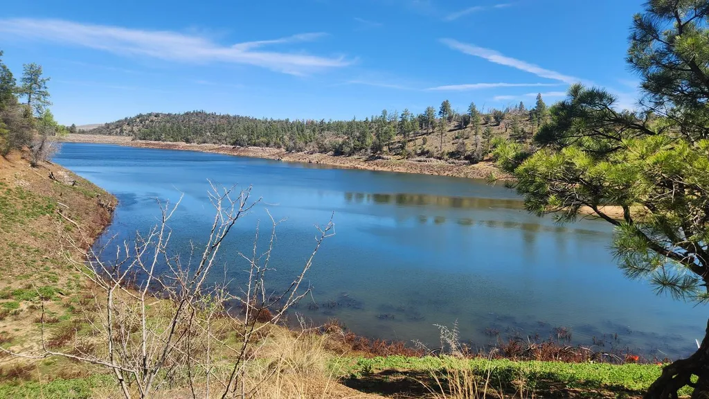 Lynx CampgroundCampingPhoto: Recreation.gov (RIDB) / public domain6.8 mi
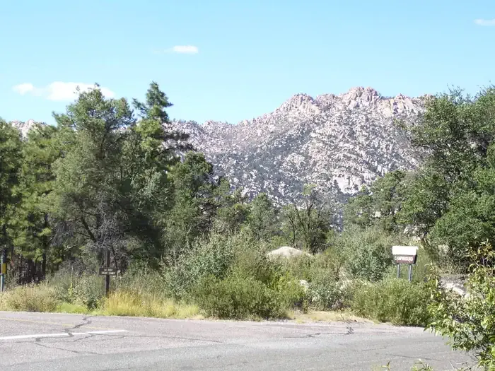 Yavapai CampgroundCampingPhoto: Recreation.gov (RIDB) / public domain7 mi
Source: Roamze catalog (indexable pages within 10 miles, PostGIS distance)
Soggy Bottom TrailHiking · Next doorPhoto: Scottb211, CC BY 2.0 (via Flickr) Headwaters TrailHiking · ~2 min drivePhoto: Scottb211, CC BY 2.0 (via Flickr)Silverback TrailHiking · Next doorPhoto: Scottb211, CC BY 2.0 (via Flickr)
 Rock Wall TrailHiking · Next doorPhoto: Ken Lund from Reno, Nevada, USA, CC BY-SA 2.0 (via Wikimedia Commons)Lower Elisabeth Creek TrailHiking · ~1 min drivePhoto: Scottb211, CC BY 2.0 (via Flickr)Ron James Approach TrailHiking · ~1 min drivePhoto: Ken Lund from Reno, Nevada, USA, CC BY-SA 2.0 (via Wikimedia Commons)Granite Dells Estates TrailHiking · ~1 min drivePhoto: Scottb211, CC BY 2.0 (via Flickr)
 Ecosa TrailHiking · ~1 min drivePhoto: Ken Lund from Reno, Nevada, USA, CC BY-SA 2.0 (via Wikimedia Commons)Boblett TrailHiking · ~1 min drivePhoto: Scottb211, CC BY 2.0 (via Flickr)Red Tail TrailHiking · ~2 min drivePhoto: Scottb211, CC BY 2.0 (via Flickr)
Best months: March–May and September–November. Best months have typical highs of 55–85 °F, lows of 30 °F or warmer (32 °F where the station doesn't record snow), at most one snowy day and no more than 12 wet days.
Jan
53° / 26°
5 wet
Feb
56° / 28°
6 wet
Mar
62° / 34°
5 wet
Apr
68° / 39°
3 wet
May
77° / 47°
3 wet
Jun
88° / 56°
3 wet
Jul
90° / 63°
8 wet
Aug
88° / 61°
9 wet
Sep
83° / 54°
6 wet
Oct
73° / 42°
3 wet
Nov
62° / 32°
4 wet
Dec
52° / 26°
5 wet
Typical high / low (°F) and days with rain or snow, 1991–2020. Measured at Prescott Love Fld, AZ, 2.6 mi away at 5,042 ft. This station doesn't record snowfall. Source: NOAA NCEI U.S. Climate Normals 1991–2020.
Map and trail data © OpenStreetMap contributors
