Knoll Lake Campground
Campground
Campground · 1.6 mi from the trail
 Photo: cogdogblog, CC BY 2.0 (via Flickr)
Closure in the area
There's a closure order in Apache-Sitgreaves National Forests. It doesn't name Escudilla National Recreation - Arizona, so check the source for the area it covers (2 listed).
Temporary Emergency Closure
Agency closure covering Apache-Sitgreaves National Forests · Order 03-01-26-004 · USFS · Apache-Sitgreaves National Forests
Benny Creek Campground/Southfork Day Use Area Closure Order - Springerville Ranger District
Agency closure covering Apache-Sitgreaves National Forests · Order 03-01-25-06-004 · USFS · Apache-Sitgreaves National Forests
Forest Road Conditions Alert
Agency alert covering Apache-Sitgreaves National Forests · USFS · Apache-Sitgreaves National Forests
West Fork Temporary Area Closure - Extension to 2/27/27
Agency alert covering Coconino National Forest · Order 03-04-00-26-09 · USFS · Coconino National Forest
No Fire Restrictions
Agency alert covering Apache-Sitgreaves National Forests · USFS · Apache-Sitgreaves National Forests
As of · Source: USFS · Apache-Sitgreaves National Forests. Agencies don't list every closure — check before you go.
Escudilla National Recreation is a hard hike in Arizona that climbs from about 3,000 feet to nearly 11,000 feet, a total gain of 5,249 feet over a route of about 148 miles. It spans the Black Mesa and Mogollon Rim ranger districts of the Apache-Sitgreaves National Forests and the Coconino National Forest, all managed by the Forest Service, and it stays open year-round. The trip takes about 52 hours, and the trail is a natural-surface route. The high point is 10,880 feet, and the low point is 3,037 feet. Knoll Lake Campground sits about 1.6 miles away, and the Babe Haught hike is 1.7 miles off. Knoll Lake, a fishing spot, is 2 miles away. Upper Tonto Creek campground is about 4.4 miles away.
Knoll Lake Campground
Campground
Places © Overture Maps Foundation
More in Blue RidgeNot on Roamze yet. Their page has how to reach them.
Source: Roamze catalog (indexable pages within 10 miles, PostGIS distance)
 Horton Springs Trail #292Hiking · ~4 min drivePhoto: cogdogblog, CC BY 2.0 (via Flickr)Horton SpringHiking · ~5 min drivePhoto: cogdogblog, CC BY 2.0 (via Flickr)
 U-BarHiking · ~8 min drivePhoto: Kristof Zyskowski & Yulia Bereshpolova, CC BY 2.0 (via Flickr)
 Derrick SpurHiking · ~9 min drivePhoto: USDAgov, Public Domain Mark (via Flickr)Horton Creek Trail #285Hiking · ~7 min drivePhoto: USDAgov, Public Domain Mark (via Flickr)
 Houston BrothersHiking · ~12 min drivePhoto: cogdog, CC BY-SA 3.0 (via Wikimedia Commons)
 Box Canyon TrailHiking · ~11 min drivePhoto: cogdogblog, CC BY 2.0 (via Flickr)
 Woods Canyon LakeHiking · ~16 min drivePhoto: cogdogblog, CC BY 2.0 (via Flickr)
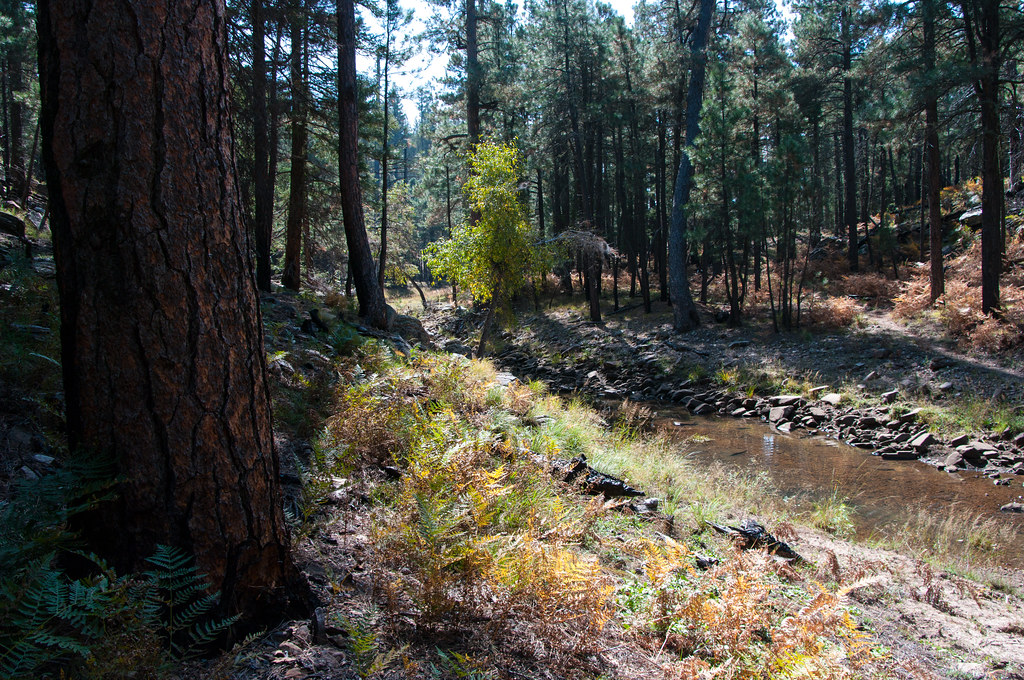 Fred HaughtHiking · ~17 min drivePhoto: Coconino NF Photography, Public Domain Dedication (CC0) (via Flickr)
 Woods Canyon NatureHiking · ~16 min drivePhoto: Ktr101, CC BY-SA 2.0 (via Flickr)

