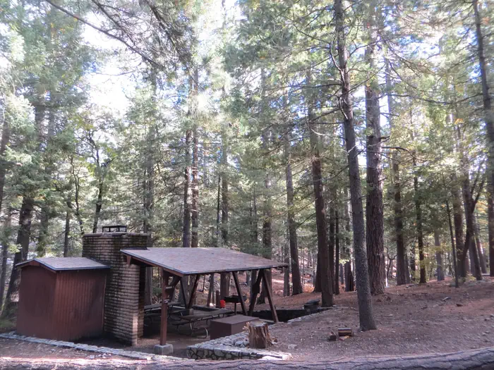
Spillway Group Cg
Campground
Campground · 0.3 mi from the trail
Closure in the area
There's a closure order in Apache-Sitgreaves National Forests. It doesn't name Woods Canyon Lake Area Boating Site, so check the source for the area it covers (2 listed).
Temporary Emergency Closure
Agency closure covering Apache-Sitgreaves National Forests · Order 03-01-26-004 · USFS · Apache-Sitgreaves National Forests
Benny Creek Campground/Southfork Day Use Area Closure Order - Springerville Ranger District
Agency closure covering Apache-Sitgreaves National Forests · Order 03-01-25-06-004 · USFS · Apache-Sitgreaves National Forests
Forest Road Conditions Alert
Agency alert covering Apache-Sitgreaves National Forests · USFS · Apache-Sitgreaves National Forests
No Fire Restrictions
Agency alert covering Apache-Sitgreaves National Forests · USFS · Apache-Sitgreaves National Forests
As of · Source: USFS · Apache-Sitgreaves National Forests. Agencies don't list every closure — check before you go.
Woods Canyon Lake Area Boating Site is a Forest Service fishing and boating access point in the Black Mesa Ranger District of the Apache-Sitgreaves National Forests in eastern Arizona. It sits within the Woods Canyon Lake Recreation Area, about 0.1 mile from the Woods Canyon Nature hike and the Spillway Group Campground. The site is managed by the Forest Service and is accessible by passenger car. The site offers a boat launch and is set up for a range of fishing styles, including shore fishing, motorized boat, float tube, fly, spin and bait. Trout and panfish are the fish available. The site is not reservable, so plan on arriving and launching as you go. Summer is the warmest stretch. Typical averages from a nearby weather station run from highs around 80°F in June to about 83°F in July, with lows in the mid-50s. That station sits roughly 666 feet lower than the site, so temperatures at the lake run a little cooler. Willow Springs Lake Fishing and Boating Site is about 4 miles away, and the Waterfall Area climbing area is about 6.6 miles off.
Spillway Group Cg
Campground
Creekside Steakhouse
Restaurant
Places © OpenStreetMap contributors
More in Blue Ridge Woods Canyon NatureHikingPhoto: Ktr101, CC BY-SA 2.0 (via Flickr)0.1 mi
 Mogollon Rim Snowmobile AMountain bikingPhoto: Šarūnas Burdulis from USA, CC BY-SA 2.0 (via Wikimedia Commons)0.2 mi
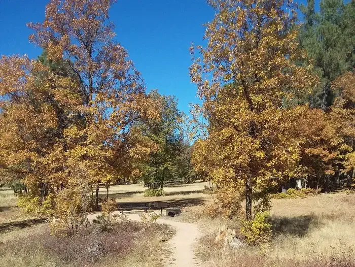 Aspen (az)CampingPhoto: Recreation.gov (RIDB) / public domain0.5 mi
Source: Roamze catalog (indexable pages within 10 miles, PostGIS distance)
Also worth it near here
Best months: May–October. Best months have typical highs of 55–85 °F, lows of 30 °F or warmer (32 °F where the station doesn't record snow), at most one snowy day and no more than 12 wet days.
Jan
45° / 17°
Feb
49° / 20°
Mar
55° / 25°
Apr
61° / 30°
May
70° / 38°
Jun
80° / 47°
Jul
83° / 55°
Aug
81° / 53°
Sep
76° / 46°
Oct
67° / 34°
Nov
55° / 24°
Dec
45° / 17°
Typical high / low (°F) and days with rain or snow, 1991–2020. Measured at Blue Ridge Rs, AZ, 23.7 mi away at 6,880 ft. The station sits about 700 ft lower than this place, so expect it a little cooler here. This station doesn't record snowfall. Source: NOAA NCEI U.S. Climate Normals 1991–2020.