El Grupo Loop
- 1.1 mi
- round trip
- 225 ft
- climb
- 2,625 ft
- high point
- Out and back
- route
- Nov–Apr
- best months
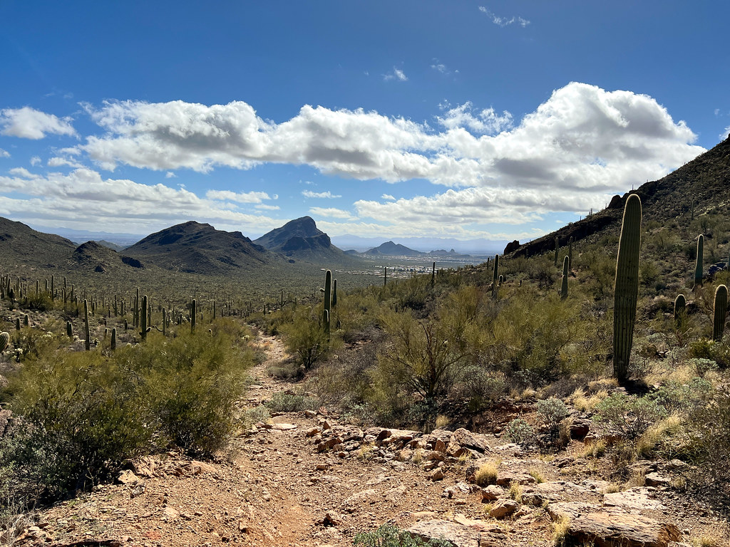
El Grupo Loop is a 2.22-mile out-and-back trail in Arizona with 225 feet of elevation gain and loss. The trail reaches a maximum elevation of 2,625 feet.
Local outfitters
- Patagonia RV Park48 mi away
Not on Roamze yet. Their page has how to reach them.
 Gilbert Escandón Jiménez TrailHiking · ~3 min drivePhoto: Jon Roanhaus, CC BY-SA 3.0 (via Wikimedia Commons)
 Yetman TrailHiking · ~7 min drivePhoto: Bryan Pocius, CC BY 2.0 (via Flickr)
- Explorer TrailHiking · ~3 min drive
 Golden Gate TrailHiking · ~9 min drivePhoto: w_lemay, CC BY-SA 2.0 (via Flickr)
- Golden Gate Mountain LoopHiking · ~9 min drivePhoto: w_lemay, CC BY-SA 2.0 (via Flickr)
- Bittersweet TrailHiking · ~3 min drive
 Easy LoopHiking · ~10 min drivePhoto: RuggyBearLA, CC BY-SA 2.0 (via Flickr)
- Rock Wren TrailHiking · ~3 min drive
- High Noon TrailHiking · Next door
- Tecolote TrailHiking · Next door
Best time to visit El Grupo Loop
Best months: November–April. Best months have typical highs of 55–85 °F, lows of 30 °F or warmer (32 °F where the station doesn't record snow), at most one snowy day and no more than 12 wet days.
Jan
66° / 41°
4 wet
Feb
69° / 43°
4 wet
Mar
76° / 48°
3 wet
Apr
83° / 53°
2 wet
May
92° / 62°
1 wet
Jun
101° / 71°
2 wet
Jul
100° / 76°
8 wet
Aug
99° / 75°
8 wet
Sep
95° / 70°
5 wet
Oct
86° / 59°
3 wet
Nov
75° / 48°
3 wet
Dec
65° / 40°
4 wet
Typical high / low (°F) and days with rain or snow, 1991–2020. Measured at Tucson Intl Ap, AZ, 5.9 mi away at 2,549 ft. Source: NOAA NCEI U.S. Climate Normals 1991–2020.

Map and trail data © OpenStreetMap contributors
