Fdr30-Bannie Mine Designated Disp
Campground
Campground · 7.3 mi from the trail
Closure in the area
There's a closure order in Prescott National Forest. It doesn't name Daniels Ridge, so check the source for the area it covers (5 listed).
Prescott National Forest Pile Burning Planned Through October
Agency closure covering Prescott National Forest · USFS · Prescott National Forest
Prescott National Forest Pile Burning through August
Agency closure covering Prescott National Forest · USFS · Prescott National Forest
NFS Road 354 Closure Order #03-07-26-02
Agency closure covering Prescott National Forest · Order 03-07-26-02 · USFS · Prescott National Forest
Juniper Fire (BLM)
Agency closure covering Prescott National Forest · USFS · Prescott National Forest
Orchard Fire
Agency closure covering Prescott National Forest · USFS · Prescott National Forest
As of · Source: USFS · Prescott National Forest. Agencies don't list every closure — check before you go.
Daniels Ridge is a 2.8-mile out-and-back hike in Arizona's Prescott National Forest, within the Bradshaw Ranger District. The trail climbs about 318 feet from a low of roughly 5,700 feet to a high of about 6,180 feet, and it is rated moderate. The Forest Service manages the land. The trail has a natural surface and is open year-round. Bikes are allowed. Spring and fall are the most comfortable times to go. Typical averages from a nearby weather station in Prescott run to highs around 76°F in May and 73°F in October, while July highs average about 90°F. That station sits roughly 1,000 feet below the ridge, so temperatures on the trail run cooler. Crystal Springs and Little Wolf Creek are both within 2 miles. For camping, the Enchanted Forest Trail designated dispersion site is about 8 miles away, and Hilltop Campground (AZ) is about 9 miles away.
Fdr30-Bannie Mine Designated Disp
Campground
 If it rainsDoncram, CC BY-SA 3.0 · Wikimedia Commons
An open-air museum located in Prescott, Arizona
Places © OpenStreetMap contributors · Photos: Doncram, CC BY-SA 3.0 (commons)
More in PrescottNot on Roamze yet. Their page has how to reach them.
Source: Roamze catalog (indexable pages within 10 miles, PostGIS distance)
 Yankee Doodle Trail #284Hiking · ~9 min drivePhoto: Ken Lund from Reno, Nevada, USA, CC BY-SA 2.0 (via Wikimedia Commons)
 Dandrea Trail #285Hiking · ~11 min drivePhoto: gizilich, CC BY-SA 3.0 (via Wikimedia Commons)PINE CREEKHiking · ~6 min drivePhoto: Ken Lund from Reno, Nevada, USA, CC BY-SA 2.0 (via Wikimedia Commons)GrapevineHiking · ~5 min drivePhoto: Ken Lund from Reno, Nevada, USA, CC BY-SA 2.0 (via Wikimedia Commons)
 Johns TankHiking · ~16 min drivePhoto: kevin dooley, Public Domain Dedication (CC0) (via Flickr)
 E Cross LHiking · ~13 min drivePhoto: gizilich, CC BY-SA 3.0 (via Wikimedia Commons)
 Lynx RecreationHiking · ~17 min drivePhoto: Scottb211, CC BY 2.0 (via Flickr)
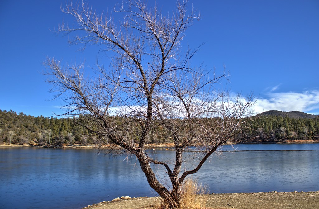 Lynx Lake Loop FHiking · ~17 min drivePhoto: Scottb211, CC BY 2.0 (via Flickr)
Best months: March–May and September–October. Best months have typical highs of 55–85 °F, lows of 30 °F or warmer (32 °F where the station doesn't record snow), at most one snowy day and no more than 12 wet days.
Jan
53° / 24°
5 wet
Feb
55° / 26°
6 wet
Mar
61° / 32°
5 wet
Apr
68° / 37°
3 wet
May
76° / 45°
3 wet
Jun
87° / 54°
3 wet
Jul
90° / 61°
9 wet
Aug
87° / 60°
10 wet
Sep
82° / 52°
6 wet
Oct
73° / 40°
4 wet
Nov
62° / 30°
4 wet
Dec
52° / 24°
5 wet
Typical high / low (°F) and days with rain or snow, 1991–2020. Measured at Prescott, AZ, 14.1 mi away at 5,205 ft. The station sits about 1,000 ft lower than this place, so expect it a little cooler here. This station doesn't record snowfall. Source: NOAA NCEI U.S. Climate Normals 1991–2020.
