
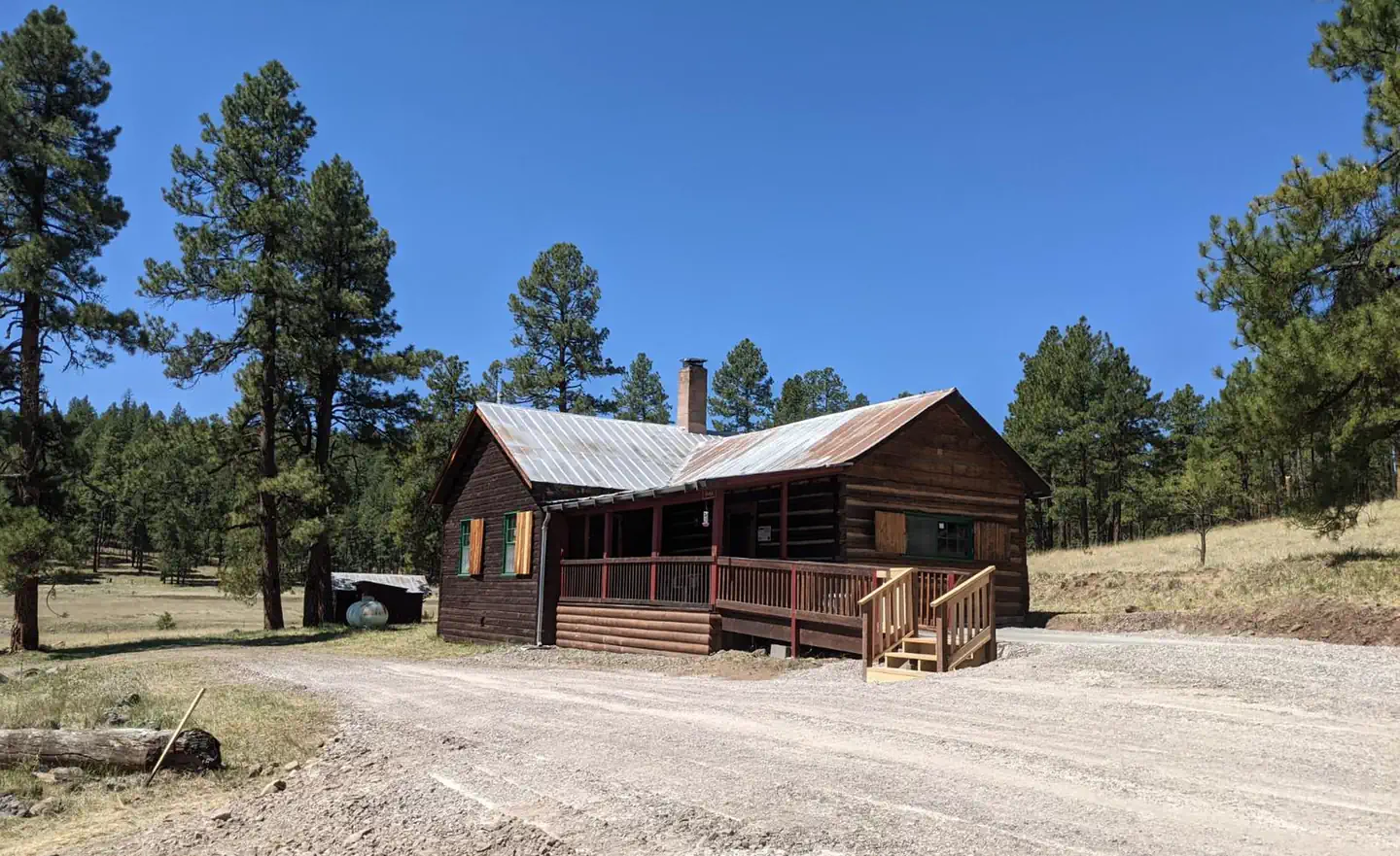
Alpine Village RV Park
Hiking business nearby (~27 mi away) — hasn't claimed their Roamze page yet
Free — you'll pick up right here.
Watch this trail
Sign up to watch it — saving subscribes you to gate, closure and report changes.
Arizona
7.4 mi
Distance
1,342 ft
Gain
3h 9m
Time
We won't guess. Here is exactly what we do and don't know.
What we do know
Inside Apache-Sitgreaves National Forests
2 managing-area boundaries mapped — agency alerts for them feed this page automatically.
Boundary data
What's missing
No access route mapped
We don't yet know which road reaches this trailhead, so we can't tell you if it's gated.
Nobody's filed a report here yet — be the first.
Why you'll love it
Chitty Creek
AI-suggested draft · review before you go
Chitty Creek is a 7.4-mile out-and-back trail located in Arizona. The route features 1,342 feet of elevation gain, making it a moderately challenging day hike. The out-and-back format means hikers will experience the same scenery on both the approach and return, with the option to turn around at any point if needed. The trail's elevation gain is distributed across the full distance, providing a steady climb throughout the hike. This makes it suitable for hikers with moderate fitness levels who are comfortable with sustained inclines. The total round-trip distance of approximately 14.8 miles should be factored into planning, particularly for water and sun exposure considerations. Chitty Creek offers an accessible option for those seeking a day hike in Arizona with meaningful elevation change and distance. The out-and-back nature of the route provides flexibility for hikers to adjust their turnaround point based on fitness level, time constraints, or weather conditions.
War Finance
~2 min drive
4.6 mi · Moderate
Cottonwood Tank Trail
~4 min drive
8.1 mi · Hard
Sheep Saddle
~5 min drive
3.0 mi · Easy
Warren Canyon
~6 min drive
6.8 mi · Moderate
Mcbride Mesa
~5 min drive
17 mi · Hard
Mud Springs
~8 min drive
2.5 mi · Easy
Rose Spring
~7 min drive
4.5 mi · Moderate
Highline
~6 min drive
A 35-mile high desert traverse with moderate elevation gain and expansive vistas.
Robinson Mesa
~8 min drive
0.4 mi · Easy
Salthouse
~7 min drive
11 mi · Moderate
Local operatorsoffering guided trips. You book directly with them — Roamze doesn’t take a cut.
Alpine Village RV Park
Hiking business nearby (~27 mi away) — hasn't claimed their Roamze page yet