
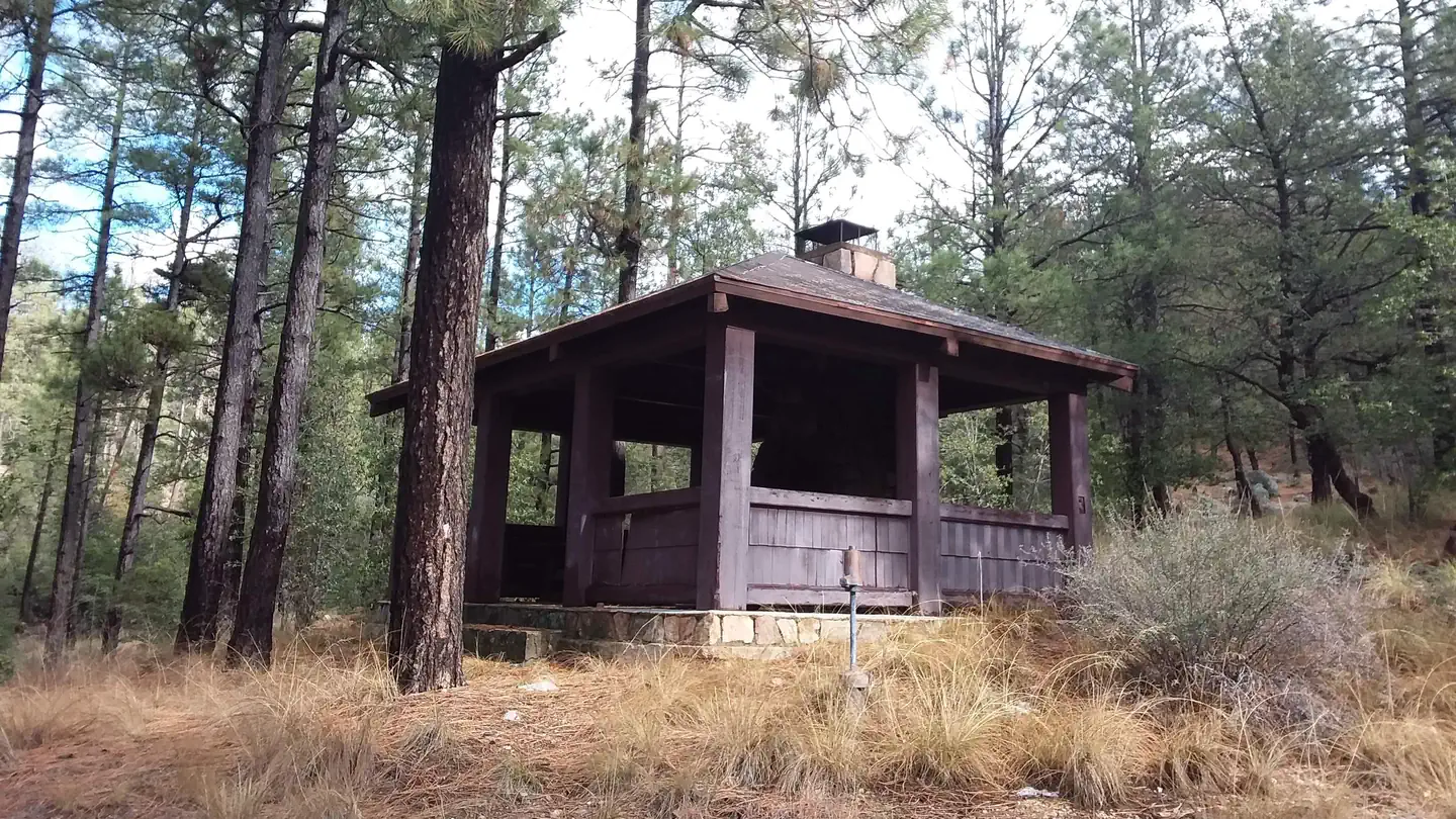

Black Canyon Campground
Hiking business nearby (~23 mi away) — hasn't claimed their Roamze page yet
Free — you'll pick up right here.
Watch this trail
Sign up to watch it — saving subscribes you to gate, closure and report changes.
Arizona
2.0 mi
Distance
728 ft
Gain
1h 1m
Time
We won't guess. Here is exactly what we do and don't know.
What we do know
Inside Prescott National Forest
2 managing-area boundaries mapped — agency alerts for them feed this page automatically.
Boundary data
What's missing
No access route mapped
We don't yet know which road reaches this trailhead, so we can't tell you if it's gated.
Nobody's filed a report here yet — be the first.
Why you'll love it
Blind Indian Connection
AI-suggested draft · review before you go
No permit or access details on file for this trail — check with the local land manager before you go.
Blind Indian Connection is a 2.0-mile out-and-back trail located in Arizona. The route features 728 feet of elevation gain, making it a moderate hike suitable for those looking to build endurance on a shorter outing. The trail's out-and-back format means hikers will travel 1.0 mile to the turnaround point before retracing their steps, allowing for flexibility in how far you venture. The steady elevation gain is distributed across the route, providing consistent climbing throughout your hike. This trail works well for hikers seeking a focused workout or those with limited time who still want a meaningful outdoor experience. The 728-foot elevation change offers enough gain to feel substantial without requiring a full-day commitment. Trail conditions and seasonal accessibility may vary, so checking current conditions before your visit is recommended. Water, shade, and facilities availability along the route should be confirmed with local resources or recent trip reports to help plan accordingly.
Collins
~11 min drive
1.1 mi · Easy
Dolphin
~14 min drive
2.9 mi · Moderate
E Cross L
~15 min drive
9.3 mi · Hard
Hilltop-Obrians
~28 min drive
Quick out-and-back hike near Hilltop-Obrians in Arizona.
Keegan
~13 min drive
1.7 mi · Easy
Horsethief Canyon
~20 min drive
4.4 mi · Moderate
Algonquin
~16 min drive
12 mi · Hard
Cat Walk
~17 min drive
1.7 mi · Easy
Daniels Ridge
~21 min drive
2.8 mi · Moderate
Little Wolf
~17 min drive
9.7 mi · Hard
Local operatorsoffering guided trips. You book directly with them — Roamze doesn’t take a cut.
Black Canyon Campground
Hiking business nearby (~23 mi away) — hasn't claimed their Roamze page yet