Beverly Canyon Trail
 Photo: vwcampin, CC BY 2.0 (via Flickr)
- 3.4 mi
- round trip
- 333 ft
- climb
- 1,566 ft
- high point
- Out and back
- route
- Nov–Mar
- best months
Beverly Canyon Trail is an easy out-and-back hike in Phoenix, Arizona, managed by the City of Phoenix and set about half a mile from The Pointe at South Mountain. The route is 3.4 miles long, with a total elevation gain of 333 feet, taking you from a low point of about 1,230 feet to a high of about 1,566 feet. The cooler months are the most comfortable time to go. Typical averages from a nearby weather station at Phoenix Sky Harbor show January highs around 68°F and lows near 46°F, while summer highs climb into the mid-100s. That station sits about 460 feet lower than the trail's high point, so temperatures on the canyon trail run a little cooler. Bikes and horses are both allowed on the trail. Javelina Canyon Trail starts just 0.1 mile away, and Pima East Loop and Pima Wash Trail are within a mile. Climbers can find the Pima Canyon Area about 1.5 miles off.
Local outfitters
- VIP RV Resort25 mi away
- Arizona Desert Mountain Jeep Tours31 mi away
Not on Roamze yet. Their page has how to reach them.
- Javelina Canyon TrailHikingPhoto: vwcampin, CC BY 2.0 (via Flickr)0.1 mi
 Pima East LoopHikingPhoto: vwcampin, CC BY 2.0 (via Flickr)0.6 mi
 Pima Wash TrailHikingPhoto: Joe K Gage, CC BY-SA 2.0 (via Flickr)0.7 mi
- Pima West Loop TrailHikingPhoto: vwcampin, CC BY 2.0 (via Flickr)0.7 mi
- Pima Canyon AreaRock climbing1.5 mi
- Entrance BouldersRock climbing1.8 mi
- Black WallRock climbing1.8 mi
- Desert Classic BoulderRock climbing1.8 mi
Source: Roamze catalog (indexable pages within 10 miles, PostGIS distance)
- Javelina Canyon TrailHiking · Next doorPhoto: vwcampin, CC BY 2.0 (via Flickr)
- Desert Classic TrailHiking · ~1 min drivePhoto: Joe K Gage, CC BY-SA 2.0 (via Flickr)
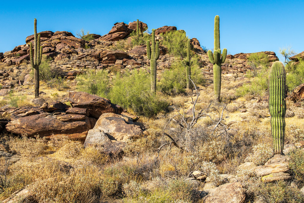 Young Man TrailHiking · ~4 min drivePhoto: dconvertini, CC BY-SA 2.0 (via Flickr)
- Pima East LoopHiking · ~1 min drivePhoto: vwcampin, CC BY 2.0 (via Flickr)
 Old Man TrailHiking · ~6 min drivePhoto: Mountain Mike Johans…, CC BY 3.0 (via Wikimedia Commons)
- Pima Wash TrailHiking · ~1 min drivePhoto: Joe K Gage, CC BY-SA 2.0 (via Flickr)
 Holbert TrailHiking · ~8 min drivePhoto: Mountain Mike Johans…, CC BY 3.0 (via Wikimedia Commons)
- Pima West Loop TrailHiking · ~1 min drivePhoto: vwcampin, CC BY 2.0 (via Flickr)
- Holbert TrailHiking · ~8 min drive
- Pima Wash TrailHiking · ~2 min drivePhoto: Joe K Gage, CC BY-SA 2.0 (via Flickr)
Best time to visit Beverly Canyon Trail
Best months: November–March. Best months have typical highs of 55–85 °F, lows of 30 °F or warmer (32 °F where the station doesn't record snow), at most one snowy day and no more than 12 wet days.
Jan
68° / 46°
4 wet
Feb
71° / 49°
4 wet
Mar
78° / 55°
3 wet
Apr
86° / 61°
2 wet
May
95° / 69°
1 wet
Jun
104° / 79°
1 wet
Jul
106° / 84°
3 wet
Aug
105° / 84°
4 wet
Sep
100° / 78°
3 wet
Oct
89° / 66°
2 wet
Nov
77° / 54°
2 wet
Dec
66° / 45°
4 wet
Typical high / low (°F) and days with rain or snow, 1991–2020. Measured at Phoenix Sky Harbor Intl Ap, AZ, 3.8 mi away at 1,107 ft. This station doesn't record snowfall. Source: NOAA NCEI U.S. Climate Normals 1991–2020.
Map and trail data © OpenStreetMap contributors
