Ben Avery Trail
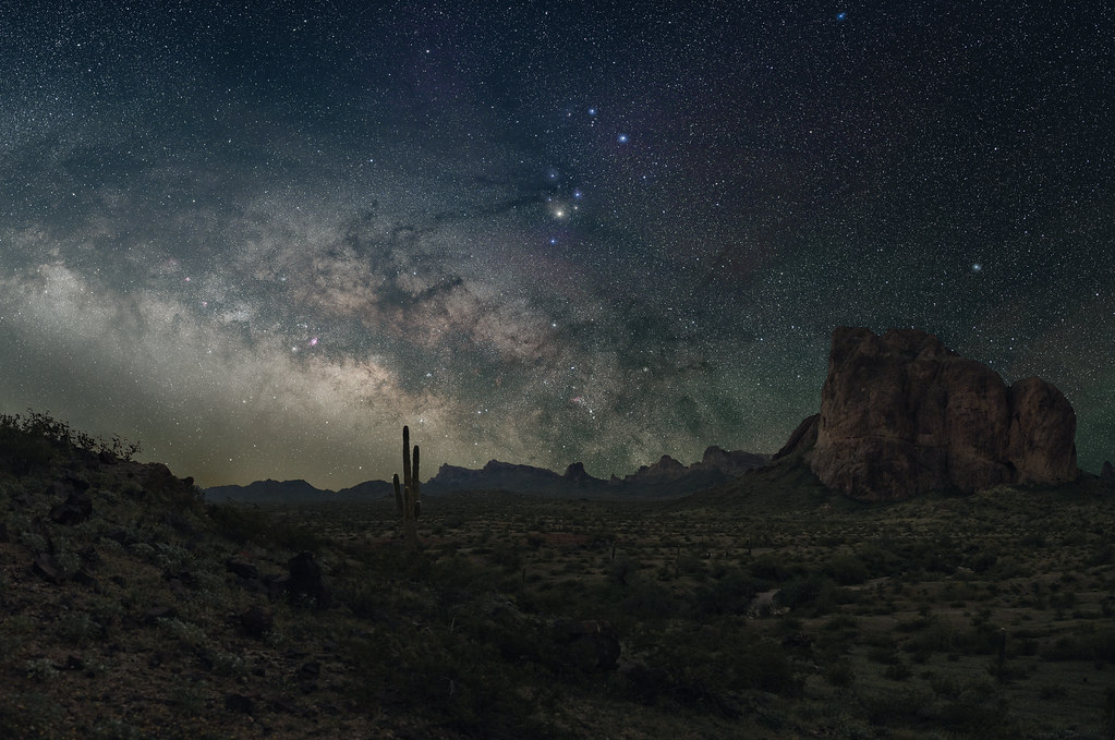 Photo: jimvajda, CC BY 2.0 (via Flickr)
- 1.1 mi
- round trip
- 142 ft
- climb
- 1,726 ft
- high point
- Out and back
- route
- Nov–Apr
- best months
Ben Avery Trail is a short, easy out-and-back hike on Bureau of Land Management land in the Yuma Field Office of western Arizona, about a mile from the town of Yuma. The trail runs roughly 2.2 miles round trip, with a front-loaded climb of about 140 feet to a high point of 1,726 feet. The steepest stretch comes early on, around the 0.44-mile mark, and the descent mirrors the climb. Winter and early spring are the most comfortable times to go. Typical averages from the nearby Kofa Mine weather station show January highs around 67°F and lows near 49°F, while summer highs climb into the 100s from June through September. The trip takes about an hour. Plan on a short outing, and expect the trail to feel like a brief walk with a gentle rise and fall.
Local outfitters
- Saddle Mountain RV Park25 mi away
- Villa La Paz RV Park41 mi away
Not on Roamze yet. Their page has how to reach them.
 Palm Canyon TrailHiking · ~1h 15m drivePhoto: cm195902, CC BY 2.0 (via Flickr)
- Harquahala Mountain TrailHiking · ~44 min drive
- Signal Peak TrailHiking · ~1h 10m drive
- West Rainbow TrailHiking · ~1h 1m drive
- Hiway & BywaysHiking · ~1h 16m drive
- The Corral TrailHiking · ~1h 13m drive
- Pyrite TrailHiking · ~1h 17m drive
- CottontrailHiking · ~1h 15m drive
- Turnbuckle trailHiking · ~1h 19m drive
- Marty's MeanderHiking · ~1h 16m drive
Best time to visit Ben Avery Trail
Best months: November–April. Best months have typical highs of 55–85 °F, lows of 30 °F or warmer (32 °F where the station doesn't record snow), at most one snowy day and no more than 12 wet days.
Jan
67° / 49°
3 wet
Feb
70° / 50°
3 wet
Mar
76° / 55°
3 wet
Apr
83° / 59°
1 wet
May
91° / 67°
1 wet
Jun
101° / 75°
1 wet
Jul
104° / 80°
3 wet
Aug
103° / 80°
4 wet
Sep
99° / 76°
3 wet
Oct
87° / 66°
2 wet
Nov
75° / 56°
2 wet
Dec
66° / 48°
3 wet
Typical high / low (°F) and days with rain or snow, 1991–2020. Measured at Kofa Mine, AZ, 37.4 mi away at 1,775 ft. Source: NOAA NCEI U.S. Climate Normals 1991–2020.
Map and trail data © OpenStreetMap contributors
