Palm Canyon Trail
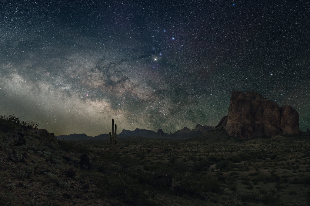
 Photo: cm195902, CC BY 2.0 (via Flickr)
- 0.5 mi
- round trip
- 456 ft
- climb
- 2,395 ft
- high point
- Out and back
- route
- Nov–Apr
- best months
Palm Canyon Trail is a short, easy out-and-back hike of about 0.9 miles, set within the Kofa Wilderness and Kofa National Wildlife Refuge in Arizona, both managed by the U.S. Fish and Wildlife Service. The trail rises about 240 feet one way, from a low point of 2,137 feet to a high of 2,395 feet, and the round trip is about 450 feet of climbing and descending. The cooler months are the most comfortable time to go. Typical averages from the nearby Kofa Mine weather station show highs around 67°F in January and 70°F in February, while summer highs reach 100°F and above. That station sits about 620 feet lower than the trail, so temperatures on the route run a little cooler. The hike takes about half an hour, and the Signal Peak Trail lies about 2.6 miles away for anyone wanting to extend the day.
Local outfitters
- Burrwood RV Park17 mi away
- Rice Ranch North22 mi away
Not on Roamze yet. Their page has how to reach them.
Source: Roamze catalog (indexable pages within 10 miles, PostGIS distance)
 Cornfield Nature TrailHiking · ~57 min drivePhoto: cm195902, CC BY 2.0 (via Flickr)
- Signal Peak TrailHiking · ~5 min drive
- Sunkist TrailHiking · ~39 min drive
 Betty's Kitchen Interpretive TrailHiking · ~1h 14m drivePhoto: WaterArchives.org from Las Cruces, New Mexico, United States, CC BY-SA 2.0 (via Wikimedia Commons)
 Ben Avery TrailHiking · ~1h 15m drivePhoto: jimvajda, CC BY 2.0 (via Flickr)
- Long RidgeHiking · ~1h 16m drivePhoto: WaterArchives.org from Las Cruces, New Mexico, United States, CC BY-SA 2.0 (via Wikimedia Commons)
- Long RidgeHiking · ~1h 16m drivePhoto: WaterArchives.org from Las Cruces, New Mexico, United States, CC BY-SA 2.0 (via Wikimedia Commons)
- Painted Desert TrailHiking · ~55 min drive
- Meers Point TrailHiking · ~57 min drive
- Rojo Grande TrailHiking · ~1h 4m drive
Best time to visit Palm Canyon Trail
Best months: November–April. Best months have typical highs of 55–85 °F, lows of 30 °F or warmer (32 °F where the station doesn't record snow), at most one snowy day and no more than 12 wet days.
Jan
67° / 49°
3 wet
Feb
70° / 50°
3 wet
Mar
76° / 55°
3 wet
Apr
83° / 59°
1 wet
May
91° / 67°
1 wet
Jun
101° / 75°
1 wet
Jul
104° / 80°
3 wet
Aug
103° / 80°
4 wet
Sep
99° / 76°
3 wet
Oct
87° / 66°
2 wet
Nov
75° / 56°
2 wet
Dec
66° / 48°
3 wet
Typical high / low (°F) and days with rain or snow, 1991–2020. Measured at Kofa Mine, AZ, 10.1 mi away at 1,775 ft. The station sits about 600 ft lower than this place, so expect it a little cooler here. Source: NOAA NCEI U.S. Climate Normals 1991–2020.

