Arizona · Hiking
Harquahala Mountain Trail
- 4.9 mi
- round trip
- 4,086 ft
- climb
- 5,662 ft
- high point
- Out and back
- route
Loading this week's forecast
Harquahala Mountain Trail is a 9.88-mile out-and-back hike in Arizona with 4,086 feet of elevation gain and loss. The trail reaches a maximum elevation of 5,662 feet.
Local outfitters
- Wayside Oasis RV Park, Bar & Grill28 mi away
- Villa La Paz RV Park31 mi away
Not on Roamze yet. Their page has how to reach them.
Conditions and forecast on Harquahala Mountain
Daily highs and lows, wind and the chance of precipitation at the summit and route start for the next 7 days, from the Open-Meteo model.
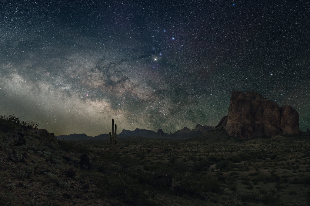 Ben Avery TrailHiking · ~44 min drivePhoto: jimvajda, CC BY 2.0 (via Flickr)
 Hotshot Journey TrailHiking · ~1h 14m drivePhoto: «Gaurav», CC BY-SA 2.0 (via Flickr)
- Wrangler LoopHiking · ~1h 1m drive
 Lion's TrailHiking · ~1h 9m drivePhoto: jmenard48, CC BY-SA 2.0 (via Flickr)
- Sunkist TrailHiking · ~1h 24m drive
- Sophie's Flats "A" TrailHiking · ~1h 9m drive
- Palm Lake LoopHiking · ~1h 9m drivePhoto: jmenard48, CC BY-SA 2.0 (via Flickr)
- Sophie's Flats "A" TrailHiking · ~1h 12m drive
 Red Bluffs TrailHiking · ~1h 24m drivePhoto: cm195902, CC BY 2.0 (via Flickr)
- Wild Burro TrailHiking · ~50 min drive
Route details
- Distance
- 4.9 mi round trip
- Climbing
- About 4,086 ft
- Starts at
- Harquahala Pack Trail Basecamp Trailhead
- Summit
- 5,680 ft
- Difficulty
- Hard
- Time
- About 3.5 hours
Questions about this route
How long is the Harquahala Mountain Trail on Harquahala Mountain?
About 4.9 mi round trip from Harquahala Pack Trail Basecamp Trailhead.
How much elevation gain is on the Harquahala Mountain Trail?
About 4,086 ft of climbing round trip.
How hard is the Harquahala Mountain Trail?
It is rated hard.
Where does the Harquahala Mountain Trail start?
Harquahala Pack Trail Basecamp Trailhead.
How long does the Harquahala Mountain Trail take?
About 3.5 hours round trip.
Map and trail data © OpenStreetMap contributors
