5k Trail
- 0.3 mi
- round trip
- 19 ft
- climb
- 1,234 ft
- high point
- Out and back
- route
- Nov–Mar
- best months
The 5k Trail is a short, easy hike in Papago Park, a city-managed park in Phoenix, Arizona. The route is an out-and-back that covers about 0.6 miles, with a total elevation gain of 19 feet. It starts and ends at roughly 1,216 feet, and the climb is nearly flat, so it works well as a quick walk or a warm-up before heading to other trails in the park. Winter and early spring are the most comfortable times to go. Typical averages from a nearby weather station in Tempe show January highs around 71°F and lows near 38°F, while summer highs climb into the mid-100s from June through August. Several other trails sit close by. Little Butte Loop is about 0.7 miles away, and the Nature Trail and the Plants and People of the Sonoran Desert Loop Trail are each within about a mile and a half. Climbers can find the Beaver Wall at Papago about 2.3 miles off.
Local outfitters
- VIP RV Resort23 mi away
- Arizona Desert Mountain Jeep Tours26 mi away
Not on Roamze yet. Their page has how to reach them.
 Little Butte LoopHikingPhoto: litt26, Public Domain Dedication (CC0) (via Flickr)0.7 mi
 Nature TrailHikingPhoto: Kevin Dooley from Chandler, AZ, USA, CC BY 2.0 (via Wikimedia Commons)1 mi
 Plants and People of the Sonoran Desert Loop TrailHikingPhoto: litt26, Public Domain Dedication (CC0) (via Flickr)1.3 mi
- Lizard TrailHiking1.9 mi
- Hobo HouseRock climbing2.2 mi
- Beaver Wall at PapagoRock climbing2.3 mi
- Phoenix Area BuilderingRock climbing4.1 mi
 Salt RiverCanoeingPhoto: Alan Stark from Goodyear, AZ, United States, CC BY-SA 2.0 (via Wikimedia Commons)6.5 mi
Source: Roamze catalog (indexable pages within 10 miles, PostGIS distance)
- 5k TrailHiking · Next doorPhoto: litt26, Public Domain Dedication (CC0) (via Flickr)
 Echo Canyon TrailHiking · ~8 min drivePhoto: Hari Seldon, CC BY-SA 3.0 (via Wikimedia Commons)
- Cholla TrailHiking · ~7 min drive
- 5k TrailHiking · Next doorPhoto: litt26, Public Domain Dedication (CC0) (via Flickr)
 Desert Classic TrailHiking · ~11 min drivePhoto: Joe K Gage, CC BY-SA 2.0 (via Flickr)
- Summit Trail 300Hiking · ~12 min drive
- Little Butte LoopHiking · ~1 min drivePhoto: litt26, Public Domain Dedication (CC0) (via Flickr)
- Freedom Trail 302Hiking · ~12 min drive
- Double Butte LoopHiking · ~1 min drivePhoto: litt26, Public Domain Dedication (CC0) (via Flickr)
 5k TrailHiking · ~2 min drivePhoto: Grant Berg, CC BY-SA 3.0 (via Wikimedia Commons)
Also worth it near here
- Hole in the RockNatural arch · ~2 min drive
- Tempe Town LakeLake fishing · ~5 min drive
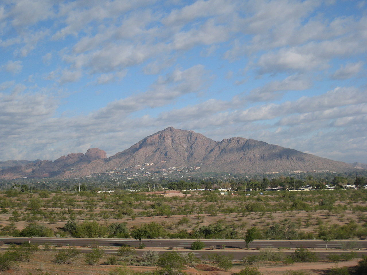 Camelback MountainSummit · ~7 min drivePhoto: Dru Bloomfield from Scottsdale, Arizona, USA, CC BY 2.0 (via Wikimedia Commons)
 The Praying MonkRock climbing · ~7 min drivePhoto: bobistraveling, CC BY 2.0 (via Wikimedia Commons)
Best time to visit 5k Trail
Best months: November–March. Best months have typical highs of 55–85 °F, lows of 30 °F or warmer (32 °F where the station doesn't record snow), at most one snowy day and no more than 12 wet days.
Jan
71° / 38°
4 wet
Feb
74° / 41°
4 wet
Mar
80° / 46°
3 wet
Apr
87° / 51°
1 wet
May
95° / 59°
1 wet
Jun
104° / 67°
1 wet
Jul
106° / 76°
3 wet
Aug
105° / 75°
4 wet
Sep
101° / 69°
3 wet
Oct
91° / 56°
2 wet
Nov
79° / 45°
2 wet
Dec
69° / 38°
4 wet
Typical high / low (°F) and days with rain or snow, 1991–2020. Measured at Tempe Asu, AZ, 3.2 mi away at 1,167 ft. Source: NOAA NCEI U.S. Climate Normals 1991–2020.
Map and trail data © OpenStreetMap contributors
