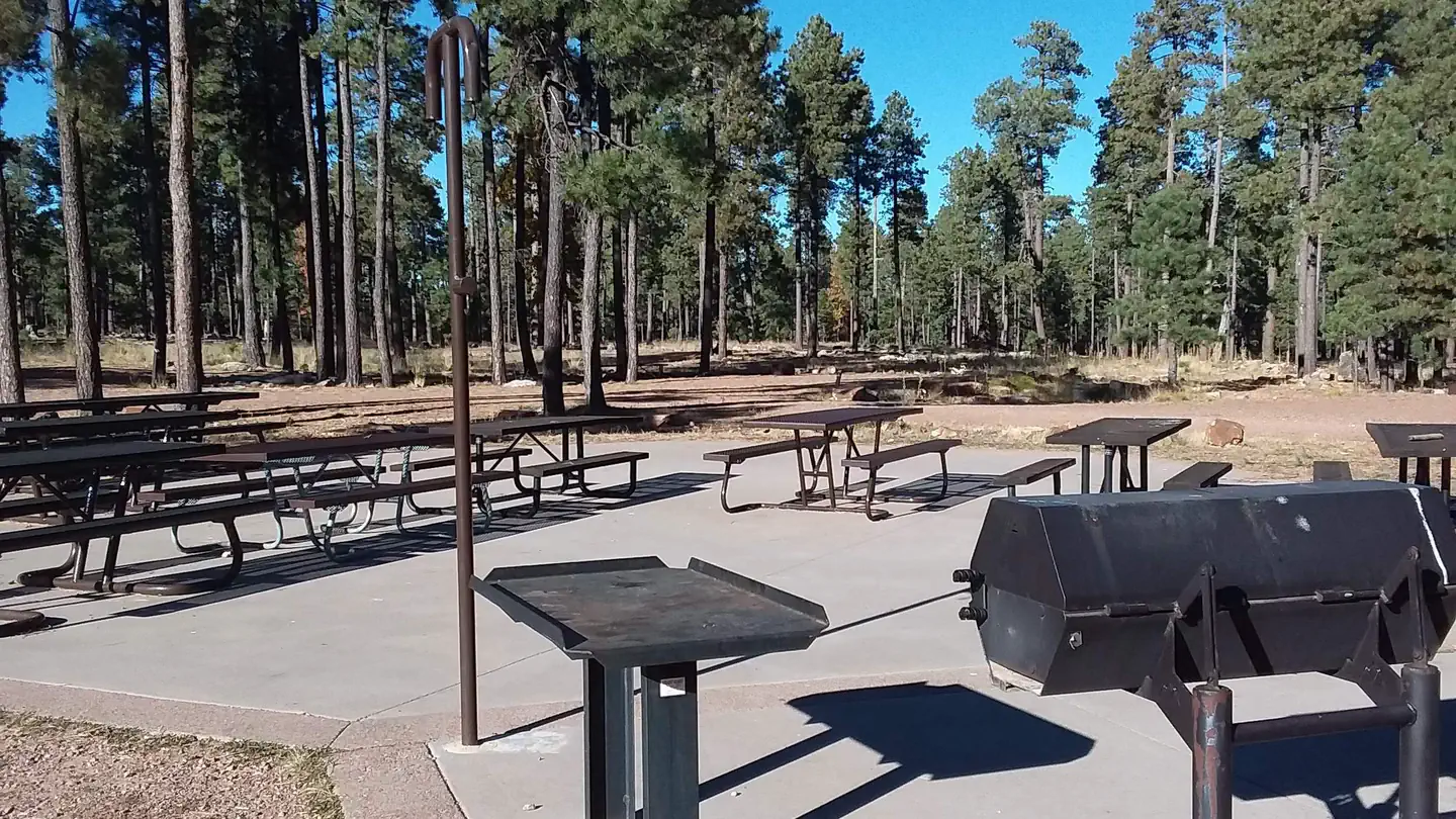
Black Mesa Ranger District
- Apr–Oct
- best months
Is Black Mesa Ranger District open right now?
Closure in the area
There's a closure order in Apache-Sitgreaves National Forests. It doesn't name Black Mesa Ranger District, so check the source for the area it covers (2 listed).
Temporary Emergency Closure
Agency closure covering Apache-Sitgreaves National Forests · Order 03-01-26-004 · USFS · Apache-Sitgreaves National Forests
Benny Creek Campground/Southfork Day Use Area Closure Order - Springerville Ranger District
Agency closure covering Apache-Sitgreaves National Forests · Order 03-01-25-06-004 · USFS · Apache-Sitgreaves National Forests
Forest Road Conditions Alert
Agency alert covering Apache-Sitgreaves National Forests · USFS · Apache-Sitgreaves National Forests
No Fire Restrictions
Agency alert covering Apache-Sitgreaves National Forests · USFS · Apache-Sitgreaves National Forests
As of · Source: USFS · Apache-Sitgreaves National Forests. Agencies don't list every closure — check before you go.
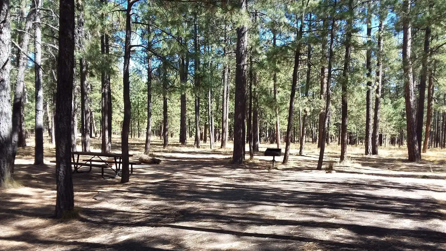
Black Mesa Ranger District is the westernmost ranger district on the Apache-Sitgreaves National Forests. Located only 2 1/2 hours from the Phoenix Metro area, the district is a popular destination for residents of the valley looking to escape the summer heat. Guidelines for Target Shooting on The Black Mesa Ranger District You may NOT discharge a firearm or any other weapon (including paintball guns, air guns, archery, slingshots, etc):Within 150 yards of a residence, building, campsite, developed recreation site, or occupied campsiteAcross or on a Forest Developed Road, across a body of water or stream, or across a canyonIn any manner or place whereby any person or property is exposed to injury or damage as a result of such discharge (36CFR 261.10d)With any tracer bullet or incendiary ammunition (36CFR 261.5b)Choose a remote area with an earthen backdrop. ALWAYS know where your bullets are going. Look at a map, know before you go.CLICK HERE for Shooting Restrictions within the Black Mesa RD area including the Rim Lakes Recreation Area. MAP of Rim Lakes restricted shooting area
 Ross DrawMountain bikingPhoto: Jedijoe82, CC BY-SA 4.0 (via Wikimedia Commons)3.7 mi
- Section LineMountain biking3.8 mi
- Pine LoopMountain biking3.8 mi
- The MazeMountain biking4 mi
- PastureHiking4.1 mi
- FencelineMountain bikingPhoto: Jedijoe82, CC BY-SA 4.0 (via Wikimedia Commons)4.2 mi
- Fence LineHiking4.2 mi
- Gauntlet TrailHiking4.5 mi
Source: Roamze catalog (indexable pages within 10 miles, PostGIS distance)
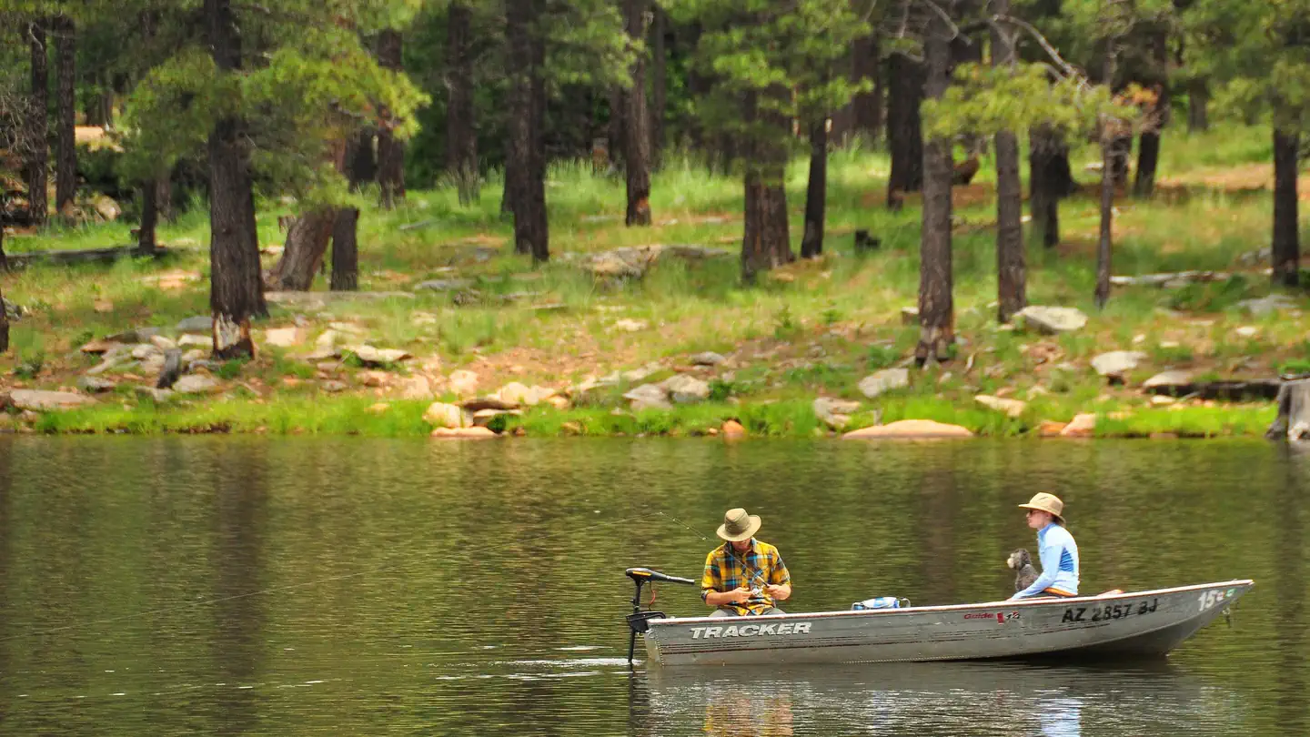
- Scott TankLake fishing · ~18 min drive
- Black Canyon LakeLake fishing · ~21 min drive
- Black Canyon Lake Fishing and Boating SiteLake fishing · ~22 min drive
- Dry LakeLake fishing · ~29 min drive
- Twin LakesLake fishing · ~31 min drive
- Chevelon Canyon LakeLake fishing · ~35 min drive
- Willow Springs LakeLake fishing · ~38 min drive
- Big Dry LakeLake fishing · ~39 min drive
- Deer LakeLake fishing · ~44 min drive
- Ned LakeLake fishing · ~44 min drive
Best time to visit Black Mesa Ranger District
Best months: April–October. Best months have typical highs of 55–85 °F, lows of 30 °F or warmer (32 °F where the station doesn't record snow), at most one snowy day and no more than 12 wet days.
Jan
46° / 20°
Feb
50° / 23°
Mar
57° / 28°
Apr
64° / 32°
May
71° / 39°
Jun
82° / 48°
Jul
83° / 56°
Aug
81° / 55°
Sep
75° / 47°
Oct
67° / 36°
Nov
55° / 27°
Dec
46° / 20°
Typical high / low (°F) and days with rain or snow, 1991–2020. Measured at Heber (Black Mesa) Rs, AZ, 3.7 mi away at 6,590 ft. This station doesn't record snowfall. Source: NOAA NCEI U.S. Climate Normals 1991–2020.