 Photo: Tempe101, CC BY-SA 4.0 (via Wikimedia Commons)
Paddling · 118 spots
Featured spots
Photo: Tempe101, CC BY-SA 4.0 (via Wikimedia Commons)Canoeing
Big Sandy River
Wikieup, Arizona
 Photo: John Menard from Phoenix, USA, CC BY-SA 2.0 (via Wikimedia Commons)
Canoeing
Bill Williams River
Yucca, Arizona
 Photo: Alan Levine from Strawberry, United States, CC BY 2.0 (via Wikimedia Commons)
Canoeing
Chevelon Creek
Heber, Arizona
 Photo: Richard N Horne, CC BY-SA 4.0 (via Wikimedia Commons)
Canoeing
East Verde River
Payson, Arizona
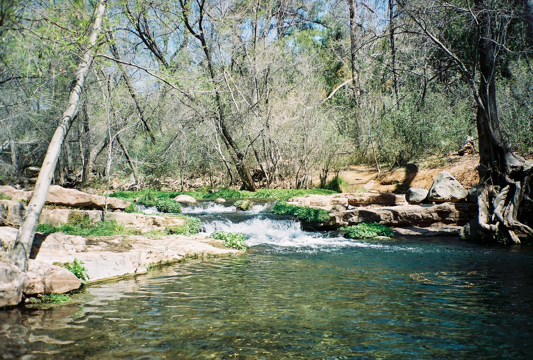 Photo: Gonzo fan2007, CC BY-SA 3.0 (via Wikimedia Commons)
Canoeing
Fossil Creek
Pine, Arizona
All spots · 118 spots

Canoeing
Agua Fria River
Black Canyon City, Arizona

Canoeing
Aravaipa Creek
Willcox, Arizona

Boat launch
Ashurst Lake Boat Launch
Arizona

Boat launch
Bartlett Lake Marina
Arizona

Canoeing
Big Bonito Creek
Vernon, Arizona
Canoeing
Big Chino Wash
Seligman, Arizona
Boat launch
Big Lake Boating/Launch Site
Arizona
Boat launch
Big Lake Marina
Arizona
Boat launch
Big Lake Railroad Cove Boating Site
Arizona
Boat launch
Big Lake South Cove Boating Site
Arizona

Boat launch
Black Canyon Lake Boating Site
Arizona
Canoeing
Black River
Blue, Arizona
Canoeing
Blue River
Blue, Arizona
Boat launch
Boat Ramp at Lynx Lake Recreation Area
Arizona
Boat launch
Bunch Reservoir Boating Site
Arizona
Boat launch
Burnt Corral Boating Site
Arizona
Canoeing
Burro Creek
Bagdad, Arizona
Canoeing
Canyon Creek
Lakeside, Arizona
Boat launch
Canyon Lake Marina
Arizona
Canoeing
Carrizo Wash
St. Johns, Arizona
Boat launch
Castle Creek Boat Ramp
Arizona
Canoeing
Cataract Creek
Williams, Arizona
Canoeing
Cherry Creek
Young, Arizona
Canoeing
Chinle Creek
Teec Nos Pos, Arizona
Keep exploring — more water worth the drive
 Photo: Richard N Horne, CC BY-SA 4.0 (via Wikimedia Commons)
Tonto Creek
~15 min drive
Tonto Creek is a 65-mile paddling stretch near Payson, Arizona. It is intermittent and may run dry in some seasons. USGS models an average flow of about 159 cfs and a gradient of about 67.2 feet per mile. Land along it is managed by the U.S. Forest Service.
Woods Canyon Lake Area Boating Site
~25 min drive
A worthwhile stop near Arizona.
Cholla Campground
~52 min drive
A worthwhile stop near Arizona.
Photo: Richard N Horne, CC BY-SA 4.0 (via Wikimedia Commons)East Verde River
~37 min drive
East Verde River is a 52-mile paddling stretch near Payson, Arizona. It flows year-round. USGS models an average flow of about 66 cfs and a gradient of about 70.6 feet per mile. Land along it is managed by the U.S. Forest Service.
Willow Springs Boat Launch
~27 min drive
A worthwhile stop near Arizona.
Schoolhouse Campground
~1h 1m drive
A worthwhile stop near Arizona.
Photo: Gonzo fan2007, CC BY-SA 3.0 (via Wikimedia Commons)Fossil Creek
~59 min drive
Fossil Creek is a 18-mile paddling stretch near Pine, Arizona. It is intermittent and may run dry in some seasons. USGS models an average flow of about 31 cfs and a gradient of about 128.4 feet per mile. Land along it is managed by the U.S. Forest Service.
Knoll Lake Boating Site
~32 min drive
A worthwhile stop near Arizona.
Photo: Alan Levine from Strawberry, United States, CC BY 2.0 (via Wikimedia Commons)Chevelon Creek
~1h 11m drive
Chevelon Creek is a 75-mile paddling stretch near Heber, Arizona. It is intermittent and may run dry in some seasons. USGS models an average flow of about 59 cfs and a gradient of about 27.4 feet per mile.
Black Canyon Lake Boating Site
~42 min drive
A worthwhile stop near Arizona.
 Photo: Jennifer Horn, Public domain (via Wikimedia Commons)
Verde River
~1h 17m drive
Verde River is a 120-mile paddling stretch near Camp Verde, Arizona. It is intermittent and may run dry in some seasons. USGS models an average flow of about 493 cfs and a gradient of about 17.9 feet per mile. Land along it is managed by the U.S. Forest Service.
Indian Point Boating Site
~49 min drive
A worthwhile stop near Arizona.
Also worth it near here
 Photo: https://www.flickr.com/photos/cogdog/, CC BY-SA 2.0 (via Wikimedia Commons)
Tombstone
~18 min drive
 Photo: davidpinter, CC BY 3.0 (via Wikimedia Commons)
Military Sink Hole
~22 min drive
Aspen (az)
~24 min drive
Woods Canyon Lake Area Boating Site
~24 min drive
 Photo: Šarūnas Burdulis from USA, CC BY-SA 2.0 (via Wikimedia Commons)
General George Crook National Recreation Trail
~25 min drive
