
Paddling · 4 spots
Featured spots



All spots · 4 spots
No additional spots match this filter.
Keep exploring — more water worth the drive
 Photo: Richard N Horne, CC BY-SA 4.0 (via Wikimedia Commons)
Tonto Creek
~22 min drive
Tonto Creek is a 65-mile paddling stretch near Payson, Arizona. It is intermittent and may run dry in some seasons. USGS models an average flow of about 159 cfs and a gradient of about 67.2 feet per mile. Land along it is managed by the U.S. Forest Service.
Willow Springs Boat Launch
~36 min drive
A worthwhile stop near Arizona.
Cholla Campground
~40 min drive
A worthwhile stop near Arizona.
 Photo: Richard N Horne, CC BY-SA 4.0 (via Wikimedia Commons)
East Verde River
~52 min drive
East Verde River is a 52-mile paddling stretch near Payson, Arizona. It flows year-round. USGS models an average flow of about 66 cfs and a gradient of about 70.6 feet per mile. Land along it is managed by the U.S. Forest Service.
Woods Canyon Lake Area Boating Site
~37 min drive
A worthwhile stop near Arizona.
Schoolhouse Campground
~45 min drive
A worthwhile stop near Arizona.
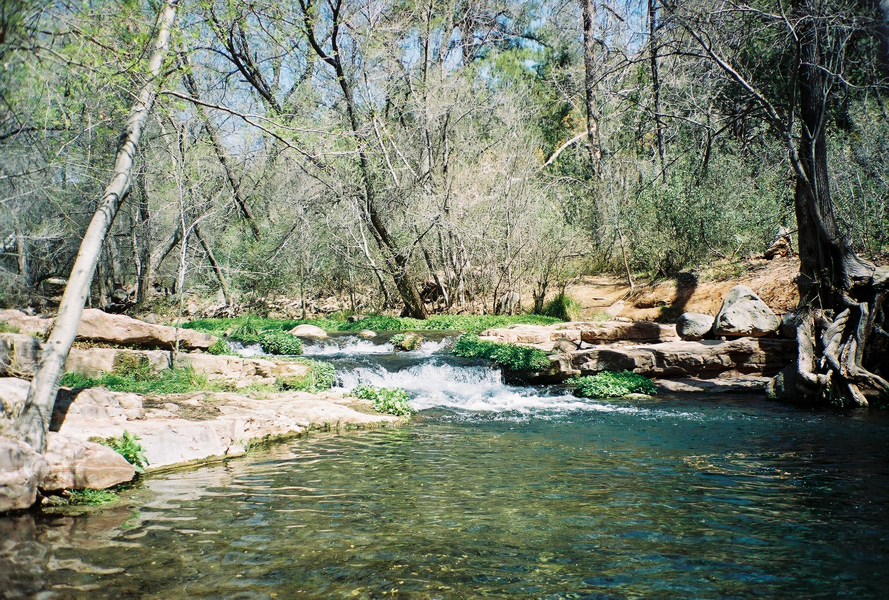 Photo: Gonzo fan2007, CC BY-SA 3.0 (via Wikimedia Commons)
Fossil Creek
~1h 14m drive
Fossil Creek is a 18-mile paddling stretch near Pine, Arizona. It is intermittent and may run dry in some seasons. USGS models an average flow of about 31 cfs and a gradient of about 128.4 feet per mile. Land along it is managed by the U.S. Forest Service.
Indian Point Boating Site
~39 min drive
A worthwhile stop near Arizona.
 Photo: Alan Levine from Strawberry, United States, CC BY 2.0 (via Wikimedia Commons)
Chevelon Creek
~1h 21m drive
Chevelon Creek is a 75-mile paddling stretch near Heber, Arizona. It is intermittent and may run dry in some seasons. USGS models an average flow of about 59 cfs and a gradient of about 27.4 feet per mile.
Cholla Boating Site
~41 min drive
A worthwhile stop near Arizona.
Spring Creek
~12 min drive
Spring Creek is a 20-mile paddling stretch near Young, Arizona. It is ephemeral and may run dry in some seasons. USGS models an average flow of about 36 cfs and a gradient of about 85.6 feet per mile. Land along it is managed by the U.S. Forest Service.
Windy Hill Boating Site
~43 min drive
A worthwhile stop near Arizona.
