Talladega Creek
- 14.6 mi
- distance
- 960 ft
- high point
- Sep–May
- best months
Caution at last check
Agency alerts are in effect for this area; weather is good · USFS, usgs_nwis, OpenWeather · checked 21 h ago
Is Talladega Creek open right now?
Closure in the area
There's a closure order in National Forests in Alabama. It doesn't name Talladega Creek, so check the source for the area it covers (2 listed).
Blue Horse Trail Closure
Agency closure covering National Forests in Alabama · USFS · National Forests in Alabama
Shooting Range Prohibitions
Agency closure covering National Forests in Alabama · Order 08-01-00-22-108 · USFS · National Forests in Alabama
Alabama's National Forests begin prescribed fires
Agency alert covering National Forests in Alabama · USFS · National Forests in Alabama
Public Health and Safety - Target Shooting
Agency alert covering National Forests in Alabama · Order 2012-07-01 · USFS · National Forests in Alabama
Cave Habitat Forest Order - Indiana and Gray Bats
Agency alert covering National Forests in Alabama · Order 2012-01-01 · USFS · National Forests in Alabama
As of · Source: USFS · National Forests in Alabama. Agencies don't list every closure — check before you go.
Talladega Creek is a canoeing destination in the Talladega Ranger District of the National Forests in Alabama, about 14.6 miles away. The Forest Service manages the surrounding land. Spring and fall are the most comfortable times to paddle. Typical averages from a nearby weather station show October highs around 76°F with lows near 49°F, and April highs around 74°F. Midsummer highs typically reach about 90°F. Several trails sit within about six miles, including the Pinhoti Nrt and the Skyway Loop Hiking Trail. For an overnight stay, Turnipseed Hunter Camp and Lake Chinnabee are both about 9 miles away.
- Pinhoti NrtHiking4.3 mi
- Skyway Loop Hiking TrailHiking5.9 mi
- Odum Scout TrailHiking6.4 mi
- Chinnabee Silent Hiking TrailHiking8.9 mi
 Turnipseed Hunter CampCampingPhoto: Martin Haeusler, CC BY-SA 3.0 (via Wikimedia Commons)9 mi
- Lake Chinnabee Recreation AreaLake fishing9 mi
 Lake ChinnabeeCampingPhoto: Mike Tilley, CC BY 3.0 (via Wikimedia Commons)9.1 mi
- Nubbin Creek Hiking TrailHiking9.5 mi
Source: Roamze catalog (indexable pages within 10 miles, PostGIS distance)
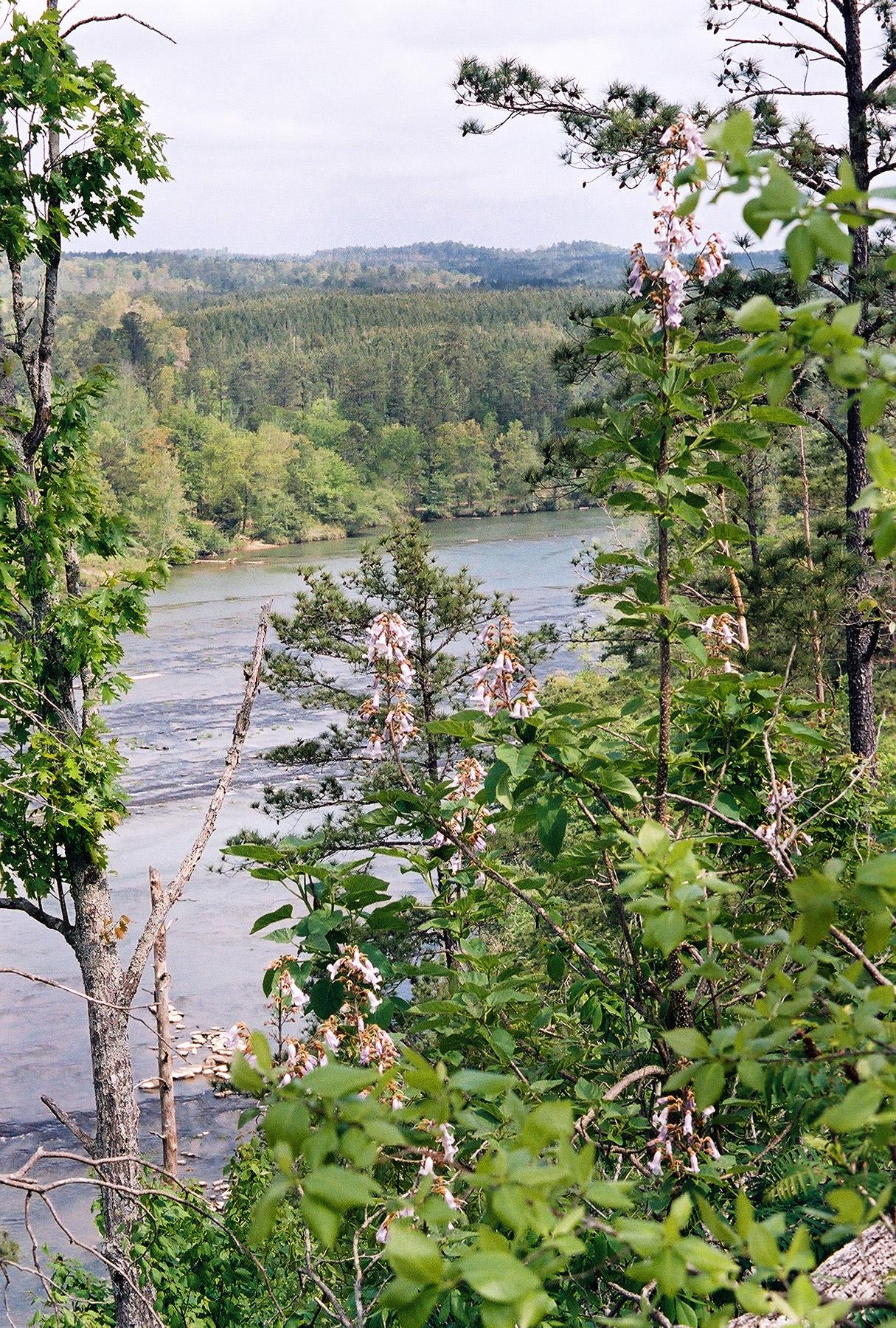 Cahaba RiverCanoeing · ~1h 17m drivePhoto: U.S. Fish and Wildlife Service, Public domain (via Wikimedia Commons)
- Big Fox Creek Boat RampBoat launch · ~31 min drive
- Cheaha CreekCanoeing · ~19 min drive
- Beeswax Boat LaunchBoat launch · ~1h drive
- Shool CreekCanoeing · ~25 min drive
- Johnson's Creek Boat RampBoat launch · ~1h 2m drive
- Weewoka CreekCanoeing · ~26 min drive
- Canoe Creek Boat LaunchBoat launch · ~1h 3m drive
- Tallaseehatchee CreekCanoeing · ~29 min drive
- Kowaliga Boat RampBoat launch · ~1h 11m drive
Also worth it near here
- Great FallsWaterfall · ~13 min drive
- Lake Chinnabee Recreation AreaLake fishing · ~16 min drive
- Cheaha Falls Trail Shelter SiteCamping · ~16 min drivePhoto: Mike Tilley, CC BY 3.0 (via Wikimedia Commons)
- Cave Creek Trail - TalladegaHiking · ~20 min drivePhoto: Martin Haeusler, CC BY-SA 3.0 (via Wikimedia Commons)
Best time to visit Talladega Creek
Best months: September–May. Best months have typical highs of 55–85 °F, lows of 30 °F or warmer (32 °F where the station doesn't record snow), at most one snowy day and no more than 12 wet days.
Jan
55° / 31°
11 wet
Feb
59° / 34°
10 wet
Mar
67° / 40°
11 wet
Apr
74° / 47°
10 wet
May
81° / 55°
10 wet
Jun
87° / 63°
11 wet
Jul
90° / 67°
12 wet
Aug
89° / 66°
11 wet
Sep
84° / 60°
8 wet
Oct
76° / 49°
8 wet
Nov
66° / 38°
8 wet
Dec
57° / 33°
11 wet
Typical high / low (°F) and days with rain or snow, 1991–2020. Measured at Ashland 3 Ene, AL, 10.6 mi away at 1,022 ft. Source: NOAA NCEI U.S. Climate Normals 1991–2020.
