Tallaseehatchee Creek
- 0.9 mi
- distance
- 542 ft
- high point
- Sep–May
- best months
Is Tallaseehatchee Creek open right now?
Closure in the area
There's a closure order in National Forests in Alabama. It doesn't name Tallaseehatchee Creek, so check the source for the area it covers (2 listed).
Blue Horse Trail Closure
Agency closure covering National Forests in Alabama · USFS · National Forests in Alabama
Shooting Range Prohibitions
Agency closure covering National Forests in Alabama · Order 08-01-00-22-108 · USFS · National Forests in Alabama
Alabama's National Forests begin prescribed fires
Agency alert covering National Forests in Alabama · USFS · National Forests in Alabama
Public Health and Safety - Target Shooting
Agency alert covering National Forests in Alabama · Order 2012-07-01 · USFS · National Forests in Alabama
Cave Habitat Forest Order - Indiana and Gray Bats
Agency alert covering National Forests in Alabama · Order 2012-01-01 · USFS · National Forests in Alabama
As of · Source: USFS · National Forests in Alabama. Agencies don't list every closure — check before you go.
Tallaseehatchee Creek is a paddling route in Alabama's Talladega Ranger District, part of the National Forests in Alabama. It is a short, manageable outing at under a mile, and it pairs easily with other outings close by. Spring and fall are the most comfortable times to paddle here. Typical averages from a nearby weather station in Sylacauga show October highs around 76°F and lows near 49°F, while July averages about 90°F. Several Sylaward Mtb routes sit within a mile, including the Sylaward Mtb Maintrunk at 0.7 miles and the Sylaward Mtb Lakeview Loop at 0.8 miles. Lake Virginia, a fishing lake about 1.5 miles away, and Weewoka Creek, another paddling option roughly 7 miles out, are also close by.
- Sylaward Mtb MaintrunkHiking0.7 mi
- Sylaward Mtb Lakeview LoopHiking0.8 mi
 Sylaward Mtb Cogs LoopHikingPhoto: Chris Hartman from Boston, Massachusetts, United States, CC BY 2.0 (via Wikimedia Commons)1 mi
- Sylaward Mtb Ridge LoopHikingPhoto: Chris Hartman from Boston, Massachusetts, United States, CC BY 2.0 (via Wikimedia Commons)1 mi
- Lake VirginiaLake fishing1.5 mi
- Little Lake WillsLake fishing2 mi
- Weewoka CreekCanoeing6.8 mi
- Weogufka CreekCanoeing9.4 mi
Source: Roamze catalog (indexable pages within 10 miles, PostGIS distance)
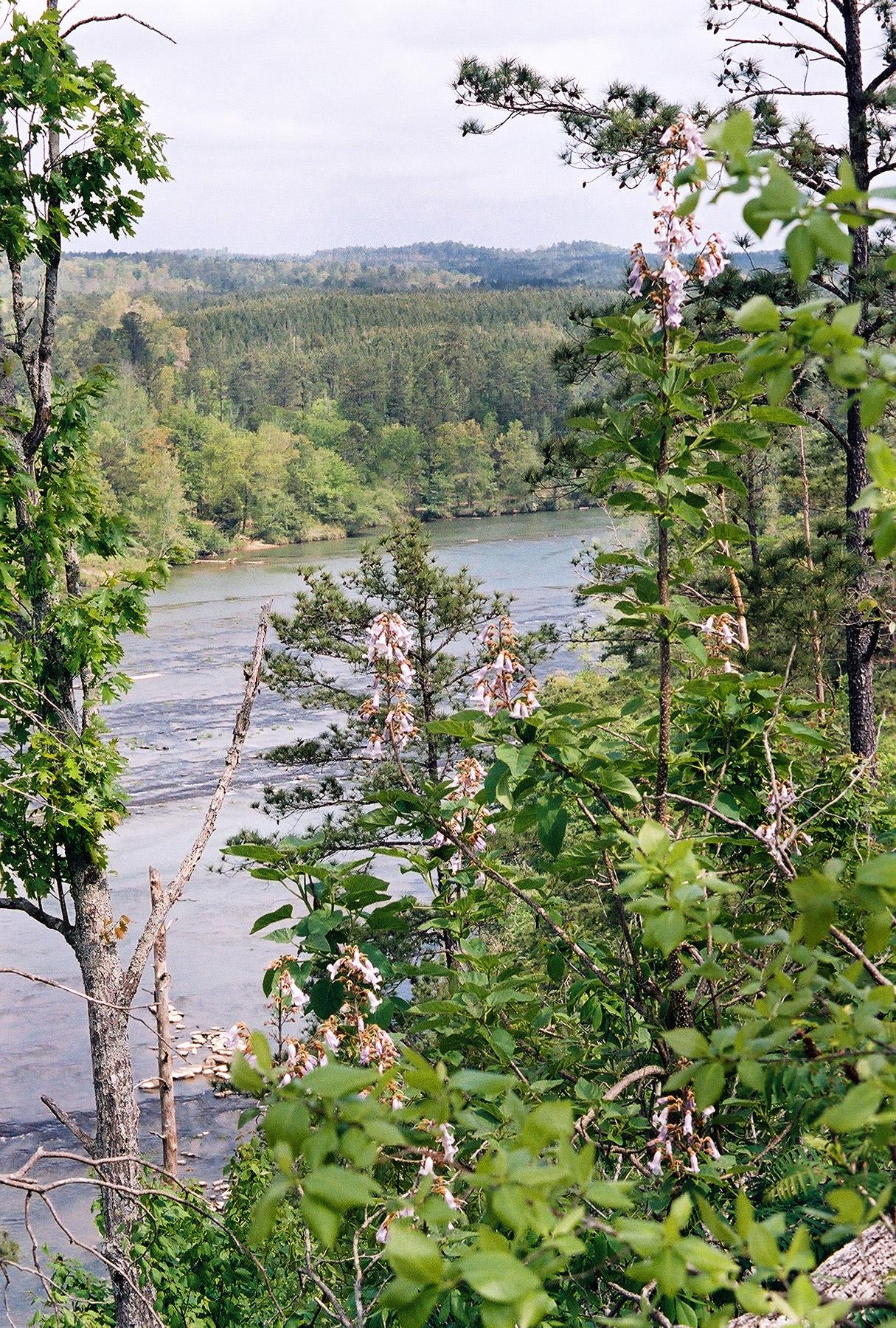 Cahaba RiverCanoeing · ~1h 1m drivePhoto: U.S. Fish and Wildlife Service, Public domain (via Wikimedia Commons)
- Beeswax Boat LaunchBoat launch · ~33 min drive
- Weewoka CreekCanoeing · ~12 min drive
- Johnson's Creek Boat RampBoat launch · ~48 min drive
- Weogufka CreekCanoeing · ~16 min drive
- Big Fox Creek Boat RampBoat launch · ~56 min drive
- Socapatoy CreekCanoeing · ~29 min drive
- Kowaliga Boat RampBoat launch · ~60 min drive
- Yellowleaf CreekCanoeing · ~36 min drive
- Bonners Point Boat RampBoat launch · ~1h 8m drive
Also worth it near here
Best time to visit Tallaseehatchee Creek
Best months: September–May. Best months have typical highs of 55–85 °F, lows of 30 °F or warmer (32 °F where the station doesn't record snow), at most one snowy day and no more than 12 wet days.
Jan
55° / 31°
10 wet
Feb
59° / 34°
9 wet
Mar
67° / 41°
10 wet
Apr
75° / 48°
8 wet
May
81° / 57°
9 wet
Jun
87° / 65°
10 wet
Jul
90° / 69°
11 wet
Aug
89° / 67°
9 wet
Sep
85° / 61°
7 wet
Oct
76° / 49°
7 wet
Nov
65° / 39°
7 wet
Dec
57° / 34°
10 wet
Typical high / low (°F) and days with rain or snow, 1991–2020. Measured at Sylacauga 4 Ne, AL, 1 mi away at 490 ft. Source: NOAA NCEI U.S. Climate Normals 1991–2020.
