Swan Creek Greenway Trail
- 2.3 mi
- round trip
- 162 ft
- climb
- 685 ft
- high point
- Out and back
- route
- Feb–May, Sep–Nov
- best months
Caution today
Weather is marginal · OpenWeather · checked 11 h ago
Swan Creek Greenway Trail is a 2.3-mile easy hike in Alabama, starting just 0.4 miles from the small community of French Hill. The route is an out-and-back with a total length of about 4.6 miles, and the round trip adds up to a low of about 31 feet of elevation gain, with the trail rising from roughly 655 feet to about 685 feet. The steepest stretch comes at about 1.4 miles in, where the grade reaches around 3%. Spring and fall are the most comfortable times to go. Typical averages from a nearby weather station in Athens show October highs around 75°F with lows near 53°F, while April runs about 73°F by day and 51°F at night. Summer is hot, with July and August highs averaging about 90°F. Bikes are allowed on the trail. Paddlers can find Swan Creek about 3 miles away, and Wheeler Lake, a fishing destination, lies roughly 10 miles out.
Best time to go · Feb–May, Sep–Nov
Best time to visit Swan Creek Greenway Trail
Best months: February–May and September–November. Best months have typical highs of 55–85 °F, lows of 30 °F or warmer (32 °F where the station doesn't record snow), at most one snowy day and no more than 12 wet days.
Jan
51° / 34°
11 wet
Feb
56° / 37°
11 wet
Mar
65° / 43°
11 wet
Apr
73° / 51°
11 wet
May
80° / 60°
11 wet
Jun
87° / 68°
11 wet
Jul
90° / 72°
11 wet
Aug
90° / 71°
10 wet
Sep
85° / 64°
8 wet
Oct
75° / 53°
9 wet
Nov
63° / 42°
10 wet
Dec
54° / 37°
12 wet
Typical high / low (°F) and days with rain or snow, 1991–2020. Measured at Athens, AL, 0.7 mi away at 689 ft. Source: NOAA NCEI U.S. Climate Normals 1991–2020.
Keep exploring — more trails worth the drive
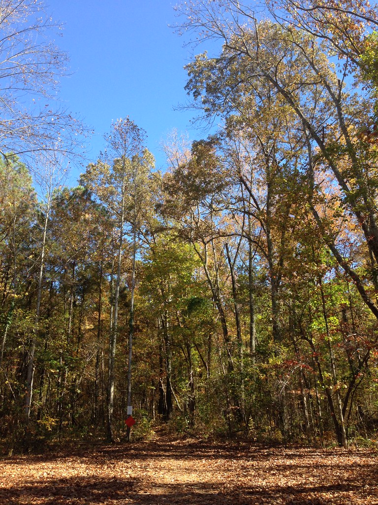 Photo: ShanMcG213, CC BY-SA 2.0 (via Flickr)
Bostick Trail
~33 min drive
1.37-mile out-and-back trail in Alabama with 506 ft gain
 Photo: dmtilley, CC BY 3.0 (via Wikimedia Commons)
Tollgate Trail
~39 min drive
0.64-mile out-and-back trail in Alabama with 108 ft gain.
HIKE
Wade Mountain Trail
~32 min drive
1.92-mile out-and-back hike in Alabama with 375 ft elevation gain.
HIKE
Wade Mountain Nature Reserve National Recreation Trails
~32 min drive
9.76-mile moderate trail through Wade Mountain Nature Reserve in Alabama.
Photo: dmtilley, CC BY 3.0 (via Wikimedia Commons)Flourish Trail
~40 min drive
0.43-mile out-and-back trail in Alabama with 129 ft of elevation gain.
HIKE
Old Railroad Bed Trail
~40 min drive
Easy 1.82-mile walk along a historic Alabama railroad bed.
HIKE
Beaver Dam Boardwalk
~21 min drive
0.49-mile out-and-back trail at Beaver Dam Boardwalk in Alabama
HIKE
Richard Martin Trail
~21 min drive
4.92-mile out-and-back hike in Alabama with 241 ft elevation gain.
HIKE
Flint Creek Trail
~27 min drive
1.29-mile out-and-back hike in Alabama with 194 ft of elevation gain.
HIKE
Atkeson Cypress Trail
~28 min drive
0.49-mile out-and-back hike at Atkeson Cypress Trail in Alabama.
Map and trail data © OpenStreetMap contributors
