Conecuh Trail
- 15.0 mi
- round trip
- 700 ft
- climb
- 269 ft
- high point
- Out and back
- route
- Oct–Apr
- best months
Is Conecuh Trail open right now?
Closure in the area
There's a closure order in National Forests in Alabama. It doesn't name Conecuh Trail, so check the source for the area it covers (2 listed).
Blue Horse Trail Closure
Agency closure covering National Forests in Alabama · USFS · National Forests in Alabama
Shooting Range Prohibitions
Agency closure covering National Forests in Alabama · Order 08-01-00-22-108 · USFS · National Forests in Alabama
Alabama's National Forests begin prescribed fires
Agency alert covering National Forests in Alabama · USFS · National Forests in Alabama
Public Health and Safety - Target Shooting
Agency alert covering National Forests in Alabama · Order 2012-07-01 · USFS · National Forests in Alabama
Cave Habitat Forest Order - Indiana and Gray Bats
Agency alert covering National Forests in Alabama · Order 2012-01-01 · USFS · National Forests in Alabama
As of · Source: USFS · National Forests in Alabama. Agencies don't list every closure — check before you go.
The Conecuh Trail is a 15-mile out-and-back hike in Alabama's National Forests in Alabama, within the Conecuh Ranger District. It is a hard route with an elevation gain of 179 feet. The trail starts at about 266 feet and reaches a high of 269 feet, with the steepest stretch at around 0.27 miles in, where the grade hits about 9%. The trail is managed by the Forest Service and is open year-round. Its natural surface makes it unsuitable for horses. Spring and fall are the most comfortable times to go. Typical averages from a nearby weather station at Florala put October highs around 80°F with lows near 57°F, while April runs about 79°F by day and 55°F at night. The Conecuh Lake Shore Loop Trail lies just 0.1 mile away. Blue Lake Recreation Area, a fishing spot, is about 2 miles off. Cross Country Road and the Eastern Continental Trail (Alabama Roadwalk) are both within about 3.3 miles.
Best time to go · Oct–Apr
Best time to visit Conecuh Trail
Best months: October–April. Best months have typical highs of 55–85 °F, lows of 30 °F or warmer (32 °F where the station doesn't record snow), at most one snowy day and no more than 12 wet days.
Jan
62° / 41°
Feb
66° / 43°
Mar
73° / 49°
Apr
79° / 55°
May
87° / 63°
Jun
90° / 70°
Jul
92° / 72°
Aug
92° / 72°
Sep
89° / 68°
Oct
80° / 57°
Nov
71° / 47°
Dec
64° / 42°
Typical high / low (°F) and days with rain or snow, 1991–2020. Measured at Florala Muni Ap, AL, 14.2 mi away at 314 ft. This station doesn't record snowfall. Source: NOAA NCEI U.S. Climate Normals 1991–2020.
Keep exploring — more trails worth the drive
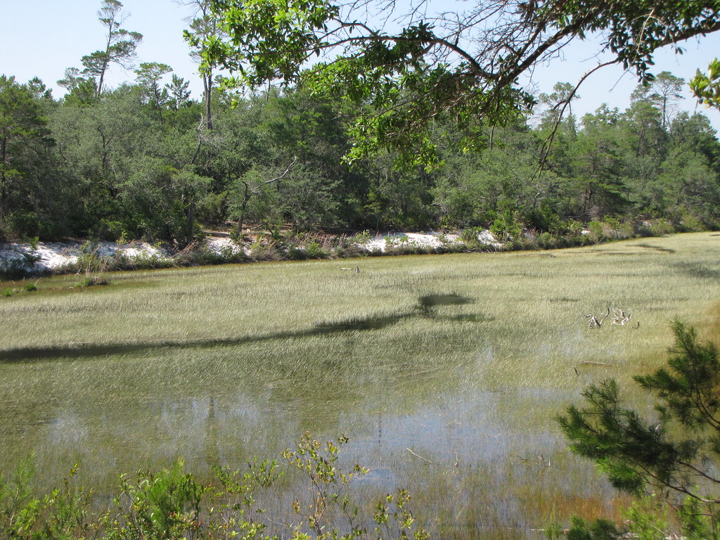 Photo: nfspw, CC BY-SA 2.0 (via Flickr)
Fred Gannon Rocky Bayou State Park
~1h 11m drive
0.37-mile out-and-back trail at Fred Gannon Rocky Bayou State Park in Florida.
HIKE
Conecuh South Loop Trail
Next door
7.94-mile out-and-back hike in Alabama with 424 ft gain
HIKE
Eastern Continental Trail (Alabama Roadwalk)
~6 min drive
189-mile Alabama roadwalk following the eastern continental divide.
HIKE
Grab Mill Road
~16 min drive
3.30-mile out-and-back trail in Alabama with 209 ft elevation gain
Photo: nfspw, CC BY-SA 2.0 (via Flickr)Fred Gannon Rocky Bayou State Park Trail
~1h 11m drive
0.54-mile out-and-back trail in Florida with 26 ft elevation gain.
HIKE
Cross Country Road
~5 min drive
7.55-mile out-and-back trail in Alabama with 508 ft gain.
HIKE
Unnamed Trail
~37 min drive
0.77-mile out-and-back trail in Alabama with 266 ft gain.
HIKE
Hickory Tree Road
~6 min drive
1.3-mile out-and-back trail in Alabama with 71 ft gain.
HIKE
Conecuh North Shore Loop Trail
~8 min drive
26.65-mile out-and-back trail along the Conecuh River in Alabama.
HIKE
Rose Hill Road
~47 min drive
3.25-mile out-and-back trail in Alabama with 172 ft gain.
Also worth it near here


