Lake 2 Lake MTB (Te Anau to Manapouri)
- 18.5 mi
- one way
- 921 ft
- climb
- Easy
- difficulty
- Gravel
- surface
Lake 2 Lake MTB (Te Anau to Manapouri) is a 18-mile mountain bike trail in Southland, New Zealand, inside Conservation Area - Waiau River. It runs between about 620 ft and 790 ft above sea level, with roughly 920 ft of climbing one way. It is rated easy for riding (mtb:scale 0): a smooth surface with no particular obstacles. Most of the way is gravel. It is mapped as a named route, with its sections joined into one trail here. The nearest town is Te Anau, about 4.8 miles south of the start. Peaks within about 3 miles include Harts Hill. For camping, Te Anau Lakeview Holiday Park & Motels and Freedom Camping for Self Contained Vehicles are within about 6 miles. Distances, elevations and the trail shape here come from OpenStreetMap and the Copernicus 90 m elevation model. Trail access for bikes, closures and conditions change, so check locally before you ride.
Keep exploring — more rides worth the drive
RIDE
Wilmot Pass Route (Fiordland)
~36 min drive
A 12-mile mountain bike trail in Southland, New Zealand.
RIDE
Around the Mountains Cycle Trail
~36 min drive
An out-and-back mountain bike trail in Southland, New Zealand.
RIDE
Lincoln Hut Track
~47 min drive
A 5.5-mile mountain bike trail in Southland, New Zealand.
RIDE
Mt Bee Ridge track
~57 min drive
A 4.5-mile mountain bike trail in Southland, New Zealand.
RIDE
Mt Bee Bunkrooms MTB Track
~60 min drive
A 5.4-mile mountain bike trail in Southland, New Zealand.
RIDE
Borland Saddle Route (Fiordland)
~37 min drive
A 25-mile mountain bike trail in Southland, New Zealand.
Also worth it near here
SEE
Queens Reach Boat Ramp
Next door
HIKE
Kepler Track
~7 min drive
 Photo: W. Bulach, CC BY-SA 4.0 (via Wikimedia Commons)
Te Anau Lakeview Holiday Park & Motels
~7 min drive
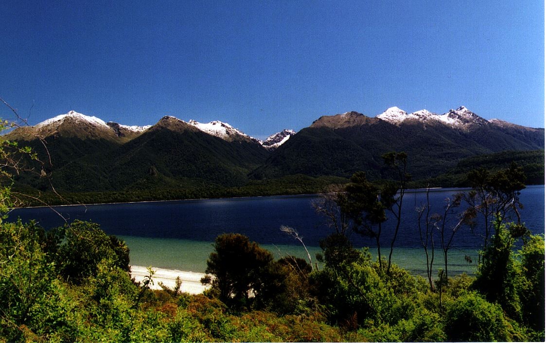 Photo: Motorau Aaron Nicholson, Public domain (via Wikimedia Commons)
Frazers Beach
~11 min drive
 Photo: Dabbelju, CC BY-SA 3.0 (via Wikimedia Commons)
Luxmore Hut
~13 min drive
Conditions and forecast
Daily highs and lows, wind and the chance of precipitation at Lake 2 Lake MTB (Te Anau to Manapouri) for the next 7 days, from the Open-Meteo model.
Map and trail data © OpenStreetMap contributors
