Wilmot Pass Route (Fiordland)
- 11.7 mi
- one way
- 2,578 ft
- climb
- Point to point
- route
Wilmot Pass Route (Fiordland) is a 12-mile mountain bike trail in Southland, New Zealand, inside Fiordland National Park. It runs between about 40 ft and 2,300 ft above sea level, with roughly 2,580 ft of climbing one way. It is mapped as a named route, with its sections joined into one trail here. The nearest town is Manapouri, about 17 miles west of the start. Peaks within about 3 miles include Leaning Peak, Mount Gray and Pāhiri Peak. Distances, elevations and the trail shape here come from OpenStreetMap and the Copernicus 90 m elevation model. Trail access for bikes, closures and conditions change, so check locally before you ride.
Keep exploring — more rides worth the drive
RIDE
Lake 2 Lake MTB (Te Anau to Manapouri)
~36 min drive
A 18-mile mountain bike trail in Southland, New Zealand.
RIDE
Borland Saddle Route (Fiordland)
~37 min drive
A 25-mile mountain bike trail in Southland, New Zealand.
RIDE
Around the Mountains Cycle Trail
~1h 11m drive
An out-and-back mountain bike trail in Southland, New Zealand.
RIDE
Lincoln Hut Track
~1h 22m drive
A 5.5-mile mountain bike trail in Southland, New Zealand.
Also worth it near here
 Photo: Pseudopanax at English Wikipedia, Public domain (via Wikimedia Commons)
Mount Wilmot
~8 min drive
 Photo: Linus Molteno, CC BY-SA 4.0 (via Wikimedia Commons)
Helena Falls
~11 min drive
BED
South Arm Campsite (Lake Manapouri)
~11 min drive
HIKE
Monument Track
~24 min drive
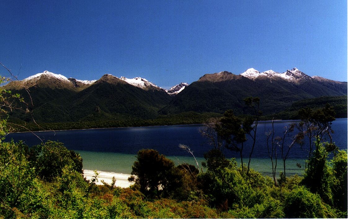 Photo: Motorau Aaron Nicholson, Public domain (via Wikimedia Commons)
Frazers Beach
~29 min drive
Conditions and forecast
Daily highs and lows, wind and the chance of precipitation at Wilmot Pass Route (Fiordland) for the next 7 days, from the Open-Meteo model.
Map and trail data © OpenStreetMap contributors
