Te Anau Lakeview Holiday Park & Motels
 Photo: W. Bulach, CC BY-SA 4.0 (via Wikimedia Commons)
- At 711 ft
Te Anau Lakeview Holiday Park & Motels is a campground in Southland, New Zealand, at about 710 ft above sea level. OpenStreetMap lists toilets, drinking water, showers and electric hookups. Trails within about a mile include walking track, Kepler Track and Te Araroa Links, Alternates and Services. The nearest town is Te Anau, about 0.8 miles south of the campground. For camping, Te Anau Top 10 Holiday Park and Fiordland Great Views Holiday Park are within about 6 miles. The location and elevation come from OpenStreetMap and the Copernicus 90 m elevation model. Check local access rules and conditions before you go.
Keep exploring — more campsites worth the drive
 Photo: Krzysztof Golik, CC BY-SA 4.0 (via Wikimedia Commons)
Te Anau Top 10 Holiday Park
~1 min drive
A campground in Southland, New Zealand.
 Photo: Dabbelju, CC BY-SA 3.0 (via Wikimedia Commons)
Luxmore Hut
~10 min drive
A mountain hut in Southland, New Zealand.
BED
Fiordland Great Views Holiday Park
~3 min drive
A campground in Southland, New Zealand.
SEE
Moturau Hut
~11 min drive
A mountain hut in Southland, New Zealand.
BED
Andy’s Place
~5 min drive
A campground in Southland, New Zealand.
SEE
Shallow Bay Hut
~12 min drive
An unstaffed wilderness hut in Southland, New Zealand.
BED
Brod Bay Campsite
~5 min drive
A campground in Southland, New Zealand.
SEE
Iris Burn Hut
~18 min drive
A mountain hut in Southland, New Zealand.
BED
Luxmore Hut Wild Camping
~10 min drive
An informal camping spot in Southland, New Zealand.
SEE
Log cabin
~22 min drive
An unstaffed wilderness hut in Southland, New Zealand.
Also worth it near here
HIKE
Kepler Track
Next door
SEE
Marina boat ramp
~2 min drive
RIDE
Lake 2 Lake MTB (Te Anau to Manapouri)
~7 min drive
 Photo: User:Thorney¿?, Public domain (via Wikimedia Commons)
Ō-te-horua-a-Te-Puhituia / Mount Luxmore
~12 min drive
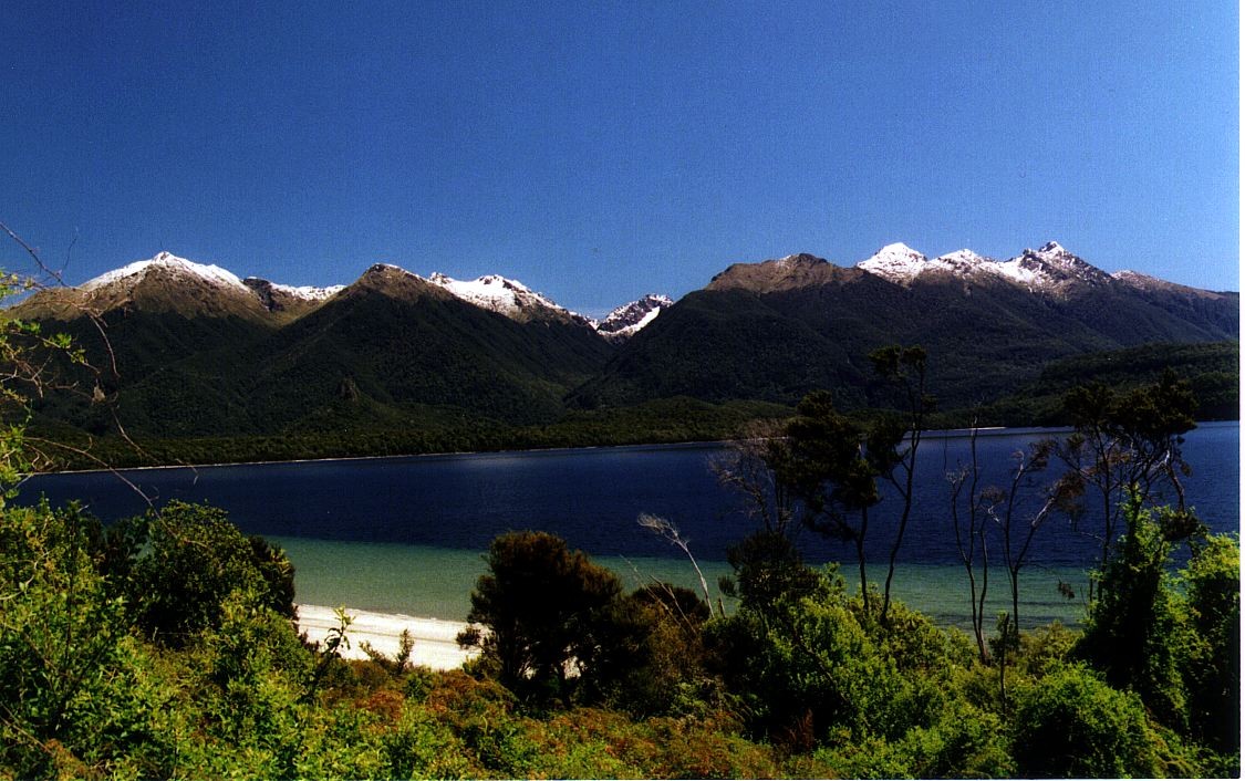 Photo: Motorau Aaron Nicholson, Public domain (via Wikimedia Commons)
Frazers Beach
~18 min drive
Conditions and forecast
Daily highs and lows, wind and the chance of precipitation at Te Anau Lakeview Holiday Park & Motels for the next 7 days, from the Open-Meteo model.
Map and trail data © OpenStreetMap contributors
