Manapouri Motel and Holiday Park
- At 685 ft
Manapouri Motel and Holiday Park is a campground in Southland, New Zealand, at about 690 ft above sea level. OpenStreetMap lists toilets, drinking water, showers and electric hookups. Trails within about a mile include Old Coach Road Track and Circle Track. The nearest town is Manapouri, about 0.5 miles northeast of the campground. Peaks within about 3 miles include View Hill and Freestone Hill. For camping, Possum Lodge is within about 6 miles. The location and elevation come from OpenStreetMap and the Copernicus 90 m elevation model. Check local access rules and conditions before you go.
Keep exploring — more campsites worth the drive
 Photo: W. Bulach, CC BY-SA 4.0 (via Wikimedia Commons)
Te Anau Lakeview Holiday Park & Motels
~18 min drive
A campground in Southland, New Zealand.
 Photo: Dabbelju, CC BY-SA 3.0 (via Wikimedia Commons)
Luxmore Hut
~21 min drive
A mountain hut in Southland, New Zealand.
 Photo: Krzysztof Golik, CC BY-SA 4.0 (via Wikimedia Commons)
Te Anau Top 10 Holiday Park
~19 min drive
A campground in Southland, New Zealand.
SEE
Back Valley Hut
~6 min drive
An unstaffed wilderness hut in Southland, New Zealand.
BED
Possum Lodge
~2 min drive
A campground in Southland, New Zealand.
SEE
Hope Arm Hut
~8 min drive
An unstaffed wilderness hut in Southland, New Zealand.
BED
Freedom Camping for Self Contained Vehicles
~12 min drive
A campground in Southland, New Zealand.
SEE
Shallow Bay Hut
~8 min drive
An unstaffed wilderness hut in Southland, New Zealand.
BED
Freedom Camping for Self Contained Vehicles
~12 min drive
A campground in Southland, New Zealand.
SEE
Moturau Hut
~9 min drive
A mountain hut in Southland, New Zealand.
Also worth it near here
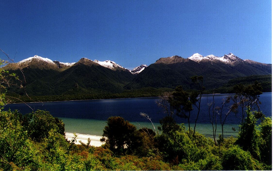 Photo: Motorau Aaron Nicholson, Public domain (via Wikimedia Commons)
Frazers Beach
Next door
HIKE
Old Coach Road Track
~1 min drive
RIDE
Lake 2 Lake MTB (Te Anau to Manapouri)
~11 min drive
SEE
Queens Reach Boat Ramp
~11 min drive
 Photo: User:Thorney¿?, Public domain (via Wikimedia Commons)
Ō-te-horua-a-Te-Puhituia / Mount Luxmore
~21 min drive
Conditions and forecast
Daily highs and lows, wind and the chance of precipitation at Manapouri Motel and Holiday Park for the next 7 days, from the Open-Meteo model.
Map and trail data © OpenStreetMap contributors
