Paseo Centenario
- 1.1 mi
- round trip
- 6 ft
- climb
- 22 ft
- high point
- Out and back
- route
- Nov–Mar
- best months
Paseo Centenario is an out-and-back trail, 1.1 miles each way (2.1 miles round trip) in Baja California, Mexico. It stays at about 20 ft above sea level and is close to flat. The nearest town is Ejido el Choropo, about 4.2 miles northwest of the trailhead. There are 4 other mapped trails within about 3 miles, so you can combine or extend the outing. Distances, elevations and the route shape here come from OpenStreetMap and the Copernicus 90 m elevation model. Trails, access rules and conditions change, so check locally before you go.
- Nearby · Rock Hill Trail · Goat Canyon Trail · Av Acassuso
Best time to go · Nov–Mar
Best time to visit Paseo Centenario
Best months: November–March. Best months have typical highs of 55–85 °F, lows of 30 °F or warmer (32 °F where the station doesn't record snow), at most one snowy day and no more than 12 wet days.
Jan
71° / 43°
2 wet
Feb
74° / 47°
2 wet
Mar
80° / 52°
2 wet
Apr
86° / 57°
1 wet
May
94° / 63°
0 wet
Jun
103° / 71°
0 wet
Jul
107° / 78°
1 wet
Aug
107° / 79°
1 wet
Sep
102° / 73°
1 wet
Oct
92° / 62°
1 wet
Nov
79° / 51°
1 wet
Dec
70° / 43°
2 wet
Typical high / low (°F) and days with rain or snow, 1991–2020. Measured at El Centro 2 Ssw, CA, 14.5 mi away at -30 ft. Source: NOAA NCEI U.S. Climate Normals 1991–2020.
Keep exploring — more trails worth the drive
 Photo: Sean Foster, CC BY 3.0 (via Wikimedia Commons)
Rock Hill Trail
~1h 13m drive
0.85-mile lollipop trail in California with 5 ft gain.
 Photo: el cajon yacht club, CC BY 2.0 (via Flickr)
Goat Canyon Trail
~1h 14m drive
5.84-mile out-and-back hike in California with 667 ft gain
Av Acassuso
~2 min drive
An out-and-back trail, 0.4 miles each way (0.8 miles round trip) in Baja California, Mexico.
 Photo: RuggyBearLA, CC BY 2.0 (via Flickr)
Split Mountain hike
~1h 22m drive
3.86-mile out-and-back hike in California with 420 ft elevation gain
 Photo: el cajon yacht club, CC BY 2.0 (via Flickr)
abandoned trail
~1h 15m drive
2.1-mile out-and-back hike in California with 1,982 ft elevation gain and loss.
Circuito Del Bosque De La Ciudad
~7 min drive
A 1.3-mile loop in Baja California, Mexico.
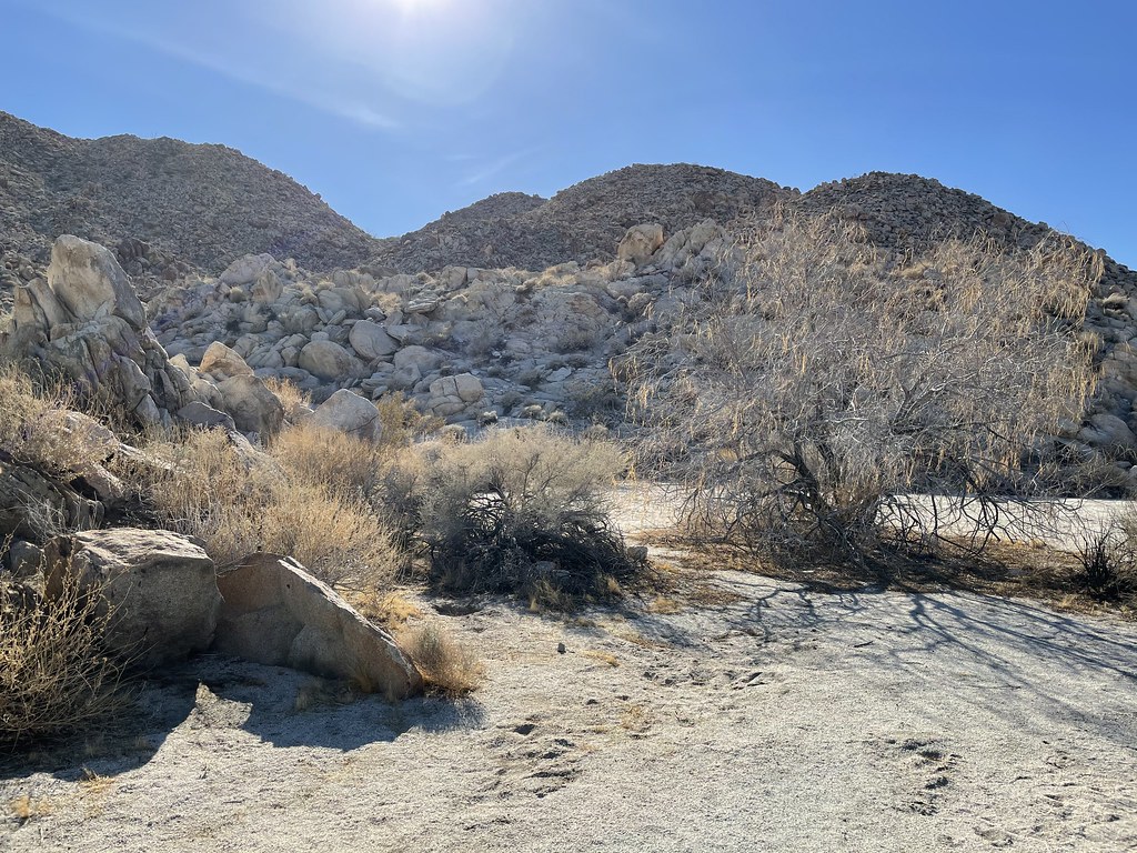 Photo: Chris Hunkeler, CC BY-SA 2.0 (via Flickr)
Bow Willow Trail
~1h 23m drive
0.6-mile out-and-back hike in California with 22 ft of elevation gain.
Rockhouse Canyon
~1h 20m drive
6.58-mile out-and-back trail in California with 900 ft elevation gain and loss.
Photo: Chris Hunkeler, CC BY-SA 2.0 (via Flickr)Bow Willow Trail - Southwest Grove
~1h 23m drive
2.24-mile out-and-back trail in California with 309 ft elevation gain
Wounded Knee Trail
~1h 22m drive
7.12-mile out-and-back trail in California with 1,114 ft elevation gain
Also worth it near here


Conditions and forecast
Daily highs and lows, wind and the chance of precipitation at Paseo Centenario for the next 7 days, from the Open-Meteo model.
Map and trail data © OpenStreetMap contributors
