Rock Hill Trail
 Photo: Sean Foster, CC BY 3.0 (via Wikimedia Commons)
- 0.9 mi
- distance
- 5 ft
- climb
- Lollipop
- route
- Easy
- difficulty
- Nov–Mar
- best months
Rock Hill Trail is a short, easy hike of about 0.85 miles on the Sonny Bono Salton Sea National Wildlife Refuge in California. The trail is nearly flat, with a total elevation gain of just 5 feet and a total loss of 6 feet, so it works well as a quick stop rather than a full-day outing. Winter and early spring are the most comfortable times to visit. Typical averages from a nearby weather station in Brawley show January highs around 72°F with lows near 41°F, while summer highs climb into the mid-100s from June through September. The hike takes about half an hour to complete. The trail sits within the refuge, and the closest town is Brawley, about 16 miles away.
Local outfitters
- Borrego Outfitters44 mi away
Not on Roamze yet. Their page has how to reach them.
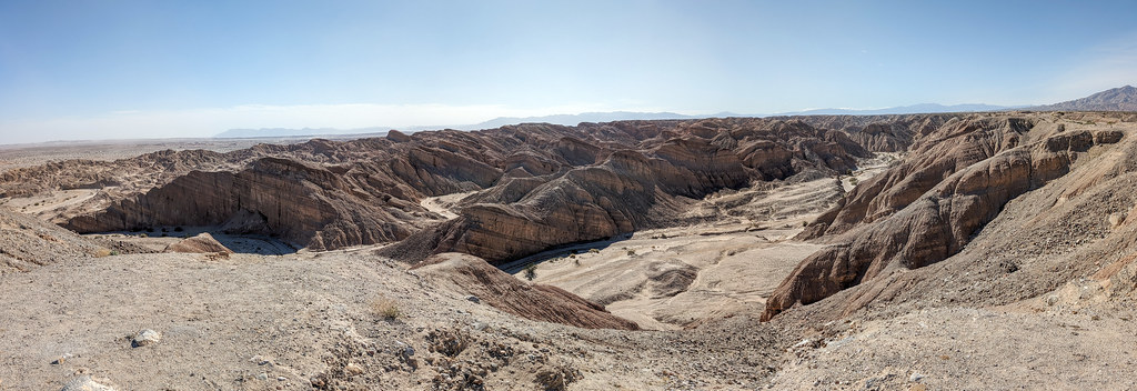
 Tectonic Gorge TrailHiking · ~41 min drivePhoto: RuggyBearLA, CC BY 2.0 (via Flickr)
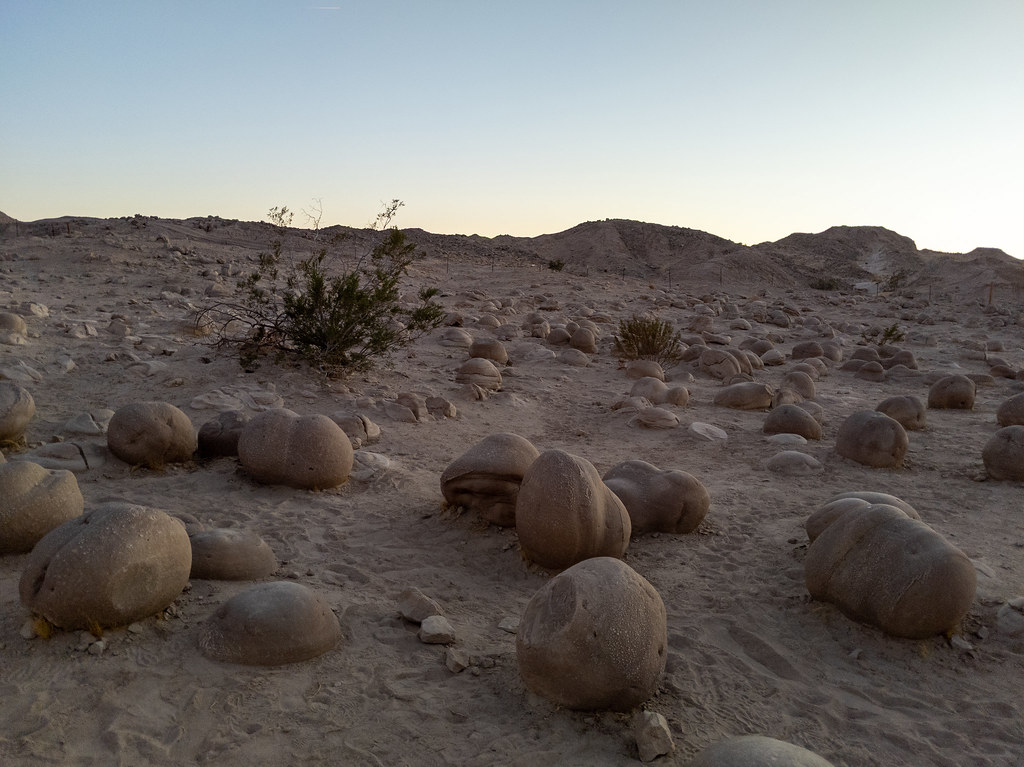
 Truckhaven TrailHiking · ~41 min drivePhoto: RuggyBearLA, CC BY 2.0 (via Flickr)
 Lost Lizard TrailHiking · ~44 min drivePhoto: RuggyBearLA, CC BY 2.0 (via Flickr)
 Cross Over TrailHiking · ~42 min drivePhoto: RuggyBearLA, CC BY 2.0 (via Flickr)
- Gettysburg TrailHiking · ~43 min drivePhoto: RuggyBearLA, CC BY 2.0 (via Flickr)
 Textbook TrailHiking · ~46 min drivePhoto: RuggyBearLA, CC BY 2.0 (via Flickr)
 Cut Across TrailHiking · ~56 min drivePhoto: Chris Hunkeler, CC BY-SA 2.0 (via Flickr)
 faint pathHiking · ~53 min drivePhoto: GSEC, CC BY 2.0 (via Flickr)
 South Fork Palm Wash CanyonHiking · ~50 min drivePhoto: RuggyBearLA, CC BY 2.0 (via Flickr)
- Gas Dome TrailHiking · ~32 min drive
Best time to visit Rock Hill Trail
Best months: November–March. Best months have typical highs of 55–85 °F, lows of 30 °F or warmer (32 °F where the station doesn't record snow), at most one snowy day and no more than 12 wet days.
Jan
72° / 41°
Feb
75° / 45°
Mar
81° / 50°
Apr
87° / 54°
May
95° / 61°
Jun
104° / 68°
Jul
108° / 77°
Aug
108° / 78°
Sep
104° / 71°
Oct
93° / 60°
Nov
80° / 49°
Dec
70° / 40°
Typical high / low (°F) and days with rain or snow, 1991–2020. Measured at Brawley 2 Sw, CA, 15.8 mi away at -100 ft. Source: NOAA NCEI U.S. Climate Normals 1991–2020.
Map and trail data © OpenStreetMap contributors
