Rockhouse Canyon
- 3.3 mi
- round trip
- 900 ft
- climb
- 1,634 ft
- high point
- Out and back
- route
- Oct–May
- best months
Rockhouse Canyon is a moderate hike in Anza-Borrego Desert State Park in California, managed by State Park and Recreation. The route is an out-and-back of about 6.6 miles, with a total elevation gain of about 900 feet. The climb is front-loaded, with the steepest stretch at about 2.8 miles in, where the grade reaches 10 percent. The trail starts and ends at about 850 feet, and the high point is around 1,634 feet. Spring and fall are the most comfortable times to go. Typical averages from a nearby weather station in Campo show April highs around 73°F and October highs around 80°F, while July and August average in the mid-90s. That station sits about 1,000 feet lower than the trail, so temperatures on the canyon run cooler. Bow Willow Trail and Bow Willow Creek are both about 2 miles away, and Carrizo Creek is a little farther. For an overnight stay, Cottonwood Campground is about 7.6 miles off.
Local outfitters
- Borrego Outfitters32 mi away
Not on Roamze yet. Their page has how to reach them.
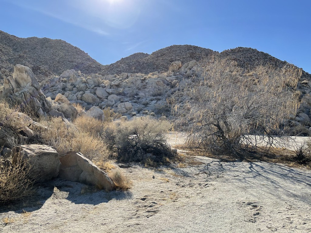 Bow Willow TrailHikingPhoto: Chris Hunkeler, CC BY-SA 2.0 (via Flickr)2.2 mi
- Bow Willow CreekCanoeing2.3 mi
- Bow Willow Trail - Torote GroveHikingPhoto: Chris Hunkeler, CC BY-SA 2.0 (via Flickr)2.4 mi
- Bow Willow Trail - Southwest GroveHikingPhoto: Chris Hunkeler, CC BY-SA 2.0 (via Flickr)2.4 mi
- Carrizo CreekCanoeing2.6 mi
- Carrizo Overlook BouldersRock climbing5 mi
- Lowenbrau PinnacleRock climbing6 mi
- Cottonwood CampgroundCamping7.6 mi
Source: Roamze catalog (indexable pages within 10 miles, PostGIS distance)
- Bow Willow TrailHiking · ~4 min drivePhoto: Chris Hunkeler, CC BY-SA 2.0 (via Flickr)
 Goat Canyon TrailHiking · ~7 min drivePhoto: el cajon yacht club, CC BY 2.0 (via Flickr)
 Monument PeakHiking · ~23 min drivePhoto: danhurt, CC BY-SA 2.0 (via Flickr)
- Bow Willow Trail - Southwest GroveHiking · ~4 min drivePhoto: Chris Hunkeler, CC BY-SA 2.0 (via Flickr)
 abandoned trailHiking · ~12 min drivePhoto: el cajon yacht club, CC BY 2.0 (via Flickr)
- La Posta Truck TrailHiking · ~22 min drive
- Bow Willow Trail - Torote GroveHiking · ~4 min drivePhoto: Chris Hunkeler, CC BY-SA 2.0 (via Flickr)
 REDTAIL ROOST LOOP SPURHiking · ~23 min drivePhoto: Jacob Reyes, CC BY 2.0 (via Flickr)
 Torote Bowl TrailHiking · ~5 min drivePhoto: Marshal Hedin from San Diego, CC BY-SA 2.0 (via Wikimedia Commons)
- Valley TrailHiking · ~12 min drive
Best time to visit Rockhouse Canyon
Best months: October–May. Best months have typical highs of 55–85 °F, lows of 30 °F or warmer (32 °F where the station doesn't record snow), at most one snowy day and no more than 12 wet days.
Jan
64° / 35°
7 wet
Feb
64° / 35°
7 wet
Mar
68° / 36°
7 wet
Apr
73° / 38°
4 wet
May
79° / 42°
2 wet
Jun
88° / 45°
1 wet
Jul
94° / 53°
1 wet
Aug
95° / 54°
2 wet
Sep
90° / 50°
2 wet
Oct
80° / 43°
3 wet
Nov
71° / 37°
5 wet
Dec
63° / 33°
7 wet
Typical high / low (°F) and days with rain or snow, 1991–2020. Measured at Campo, CA, 20 mi away at 2,630 ft. The station sits about 1,000 ft higher than this place, so expect it a little warmer here. Source: NOAA NCEI U.S. Climate Normals 1991–2020.

Map and trail data © OpenStreetMap contributors
