Hike Bike Kayak Adventure Tours
Hiking business nearby (~37 mi away) — hasn't claimed their Roamze page yet
An out-and-back trail, 0.8 miles each way (1.7 miles round trip) in Baja California, Mexico.
Best months: Year-round. Best months have typical highs of 55–85 °F, lows of 30 °F or warmer (32 °F where the station doesn't record snow), at most one snowy day and no more than 12 wet days.
Jan
67° / 47°
Feb
65° / 48°
Mar
66° / 51°
Apr
67° / 52°
May
68° / 57°
Jun
70° / 60°
Jul
73° / 64°
Aug
75° / 65°
Sep
75° / 62°
Oct
73° / 56°
Nov
70° / 50°
Dec
66° / 46°
Typical high / low (°F) and days with rain or snow, 1991–2020. Measured at Imperial Beach Ream Fld Nas, CA, 15.9 mi away at 24 ft. This station doesn't record snowfall. Source: NOAA NCEI U.S. Climate Normals 1991–2020.
Costa Rosarito is an out-and-back trail, 0.8 miles each way (1.7 miles round trip) in Baja California, Mexico. It stays at about 10 ft above sea level and is close to flat. The nearest town is Rosarito, about 1.7 miles south of the trailhead. There are 3 other mapped trails within about 3 miles, so you can combine or extend the outing. Distances, elevations and the route shape here come from OpenStreetMap and the Copernicus 90 m elevation model. Trails, access rules and conditions change, so check locally before you go.
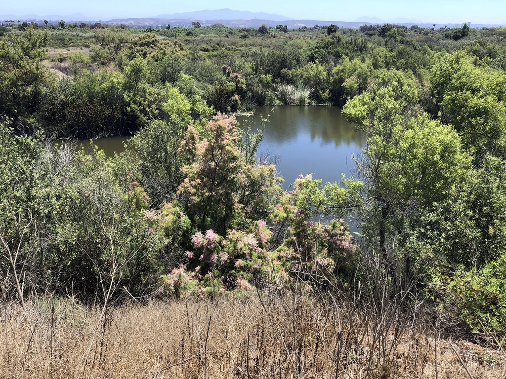 Photo: gary_leavens, CC BY-SA 2.0 (via Flickr)
Spooners Mesa Trail
~24 min drive
4.24-mile out-and-back hike in California with 1,192 ft elevation gain and loss.
 Photo: sergei.gussev, CC BY 2.0 (via Flickr)
Marsh Loop Trail
~25 min drive
1.4-mile out-and-back hike in California with 20 ft of elevation gain.
 Photo: theforestprimeval, CC BY-SA 2.0 (via Flickr)
Otay Mountain Truck Trail
~38 min drive
9.46-mile out-and-back trail in California with 3,765 ft elevation gain and loss.
Mar Caspio
~19 min drive
An out-and-back trail, 0.5 miles each way (1.0 miles round trip) in Baja California, Mexico.
Otay Mountain Truck Trail
~32 min drive
15.1-mile out-and-back trail in California with 3,974 ft elevation gain/loss.
Photo: gary_leavens, CC BY-SA 2.0 (via Flickr)North Beach Trail
~25 min drive
3.76-mile out-and-back hike in California with 82 ft elevation gain/loss
Photo: gary_leavens, CC BY-SA 2.0 (via Flickr)Amsod Farm Trail
~25 min drive
1.0-mile out-and-back trail in California with 5 feet of elevation gain.
Sendero Parque Esperanto
~20 min drive
A 1.2-mile loop in Baja California, Mexico.
Jamul Creek Trail
~39 min drive
3.9-mile out-and-back hike in California with 1,116 ft elevation gain
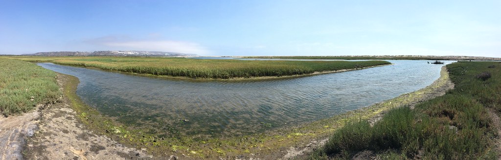 Photo: sergei.gussev, CC BY 2.0 (via Flickr)
Beach Trail
~25 min drive
1.02-mile out-and-back beach trail in California with 15 ft elevation gain
Daily highs and lows, wind and the chance of precipitation at Costa Rosarito for the next 7 days, from the Open-Meteo model.
Map and trail data © OpenStreetMap contributors
Outfitters and businesses. They haven’t set up their Roamze page yet.
Hike Bike Kayak Adventure Tours
Hiking business nearby (~37 mi away) — hasn't claimed their Roamze page yet
