R&R Surf Rentals
Kayaking business nearby (~5 mi away) — hasn't claimed their Roamze page yet
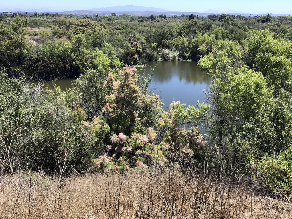
Tijuana River is a river in California. It is intermittent and may run dry in some seasons.
Best months: Year-round. Best months have typical highs of 55–85 °F, lows of 30 °F or warmer (32 °F where the station doesn't record snow), at most one snowy day and no more than 12 wet days.
Jan
67° / 44°
7 wet
Feb
66° / 45°
7 wet
Mar
68° / 47°
8 wet
Apr
70° / 50°
5 wet
May
71° / 54°
3 wet
Jun
74° / 58°
1 wet
Jul
78° / 61°
1 wet
Aug
81° / 63°
1 wet
Sep
80° / 61°
2 wet
Oct
77° / 55°
4 wet
Nov
72° / 49°
5 wet
Dec
67° / 44°
7 wet
Typical high / low (°F) and days with rain or snow, 1991–2020. Measured at San Diego Brown Fld, CA, 3.4 mi away at 515 ft. This station doesn't record snowfall. Source: NOAA NCEI U.S. Climate Normals 1991–2020.
Tijuana River is a river in California. It is intermittent and may run dry in some seasons.
 Photo: Wasquewhat, CC BY-SA 4.0 (via Wikimedia Commons)
Sweetwater River
~42 min drive
Sweetwater River is a 47-mile paddling stretch near Alpine, California. It is intermittent and may run dry in some seasons. USGS models an average flow of about 66 cfs and a gradient of about 93.2 feet per mile.
Shelter Island Boat Launch
~25 min drive
Shelter Island Boat Launch is a boat launch in California.
San Diego River
~45 min drive
San Diego River is a 37-mile paddling stretch near Lakeside, California. It is intermittent and may run dry in some seasons. USGS models an average flow of about 117 cfs and a gradient of about 91.6 feet per mile.
Ski Beach
~31 min drive
Ski Beach is a boat launch in California.
San Dieguito River
~57 min drive
San Dieguito River is a 13-mile paddling stretch near San Diego, California. It is intermittent and may run dry in some seasons. USGS models an average flow of about 83 cfs and a gradient of about 18.7 feet per mile.
San Vincente Boat Launch
~45 min drive
Cottonwood Creek
~48 min drive
Cottonwood Creek is a 27-mile paddling stretch near Potrero, California. It is intermittent and may run dry in some seasons. USGS models an average flow of about 132 cfs and a gradient of about 111.1 feet per mile. Land along it is managed by the U.S. Forest Service.
Curtis Landing
~1h 24m drive
Curtis Landing is a boat launch in California.
Boulder Creek
~1h 5m drive
Boulder Creek is a 12-mile paddling stretch near Julian, California. It is intermittent and may run dry in some seasons. USGS models an average flow of about 30 cfs and a gradient of about 314.9 feet per mile. Land along it is managed by the U.S. Forest Service.
Kayak/Paddle Board Launch
~1h 24m drive
Kayak/Paddle Board Launch is a boat launch in California.
Outfitters and businesses. They haven’t set up their Roamze page yet.
R&R Surf Rentals
Kayaking business nearby (~5 mi away) — hasn't claimed their Roamze page yet
Chula Vista Water Sports
Kayaking business nearby (~6 mi away) — hasn't claimed their Roamze page yet
Luxury Jet Ski Rentals
Kayaking business nearby (~11 mi away) — hasn't claimed their Roamze page yet
