Otay Mountain Truck Trail
- 7.6 mi
- round trip
- 3,974 ft
- climb
- 3,415 ft
- high point
- Out and back
- route
Otay Mountain Truck Trail is a 15.1-mile out-and-back hike in California, about 4.4 miles from the community of Doghouse Junction. The route is rated expert, and it rises from a low point of 784 feet to a high of 3,415 feet, with a total elevation gain of 3,974 feet over the full trip. The climb is front-loaded, and the steepest stretch comes at about 6.3 miles in, where the grade reaches 23%. The trail is a long, steep commitment. The one-way gain of 3,236 feet is the figure you see in the stats, and the round-trip total is 3,974 feet. Plan for a full day on foot, with plenty of time to rest and recover along the way. Otay Mesa, a climbing area, sits about 1.5 miles away. Jamul Creek Trail is about 4 miles off, and Centennial Trail and Rock House Trail are both within about 7 miles.
Local outfitters
- Hike Bike Kayak Adventure Tours27 mi away
Not on Roamze yet. Their page has how to reach them.
Conditions and forecast on Otay Mountain
Daily highs and lows, wind and the chance of precipitation at the summit and route start for the next 7 days, from the Open-Meteo model.
- Otay MesaRock climbing1.5 mi
- Jamul Creek TrailHiking4 mi
- Centennial TrailHiking5.6 mi
- Rock House TrailHiking7.1 mi
- Snake TrailHiking7.8 mi
- SDG&E Utility Access PathHiking7.8 mi
- San Miguel Mountain TrailHiking7.9 mi
- BonitaRock climbing9.5 mi
Source: Roamze catalog (indexable pages within 10 miles, PostGIS distance)
 Otay Mountain Truck TrailHiking · ~8 min drivePhoto: theforestprimeval, CC BY-SA 2.0 (via Flickr)
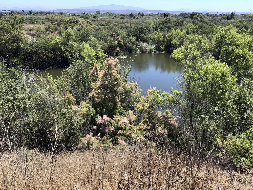 Amsod Farm TrailHiking · ~19 min drivePhoto: gary_leavens, CC BY-SA 2.0 (via Flickr)
- Spooners Mesa TrailHiking · ~19 min drivePhoto: gary_leavens, CC BY-SA 2.0 (via Flickr)
- Sendero Parque EsperantoHiking · ~16 min drive
- P.E.R.L. Loop TrailHiking · ~20 min drivePhoto: gary_leavens, CC BY-SA 2.0 (via Flickr)
- North Beach TrailHiking · ~20 min drivePhoto: gary_leavens, CC BY-SA 2.0 (via Flickr)
- Mar CaspioHiking · ~21 min drive
- Marsh Spur TrailHiking · ~20 min drivePhoto: gary_leavens, CC BY-SA 2.0 (via Flickr)
- Jamul Creek TrailHiking · ~7 min drive
 Marsh Loop TrailHiking · ~21 min drivePhoto: sergei.gussev, CC BY 2.0 (via Flickr)

Route details
- Distance
- 7.6 mi round trip
- Climbing
- About 3,974 ft
- Summit
- 3,566 ft
- Difficulty
- Expert
- Time
- About 4 hours
Questions about this route
How long is the Otay Mountain Truck Trail on Otay Mountain?
About 7.6 mi round trip.
How much elevation gain is on the Otay Mountain Truck Trail?
About 3,974 ft of climbing round trip.
How hard is the Otay Mountain Truck Trail?
It is rated expert.
How long does the Otay Mountain Truck Trail take?
About 4 hours round trip.
Map and trail data © OpenStreetMap contributors
