Les contreforts des Monts-de-Vaucluse à Pernes-Les-Fontaines
 Photo: Véronique PAGNIER, CC BY-SA 3.0 (via Wikimedia Commons)
- 13.3 mi
- loop
- 1,741 ft
- climb
- Loop
- route
Les contreforts des Monts-de-Vaucluse à Pernes-Les-Fontaines is a 13-mile mountain bike trail that makes a loop in Provence-Alpes-Côte d'Azur, France, inside Parc naturel régional du Mont-Ventoux. It runs between about 290 ft and 880 ft above sea level, with roughly 1,740 ft of climbing over the route. It is maintained by La Provence à vélo. It is mapped as a named route, with its sections joined into one trail here. It is on the edge of Pernes-les-Fontaines. For camping, Camping municipal Coucourelle and Camping Les Fontaines - Ciela Village are within about 6 miles. There are 2 other mapped trails within about 3 miles, so you can combine or extend the outing. Distances, elevations and the trail shape here come from OpenStreetMap and the Copernicus 90 m elevation model. Trail access for bikes, closures and conditions change, so check locally before you ride.
Keep exploring — more rides worth the drive
 Photo: Juliandinan, CC BY-SA 4.0 (via Wikimedia Commons)
GTV VTT Étape 6 : Fontaine-de-Vaucluse => Mérindol
~11 min drive
A 10.0-mile mountain bike trail in Provence-Alpes-Côte d'Azur, France.
Chemin des Colombets
~26 min drive
An out-and-back mountain bike trail in Provence-Alpes-Côte d'Azur, France.
Vallon de la Put
~30 min drive
An out-and-back mountain bike trail in Provence-Alpes-Côte d'Azur, France.
vallon de Sanguinette
~31 min drive
An out-and-back mountain bike trail in Provence-Alpes-Côte d'Azur, France.
La combe du Bon Dieu
~35 min drive
An out-and-back mountain bike trail in Provence-Alpes-Côte d'Azur, France.
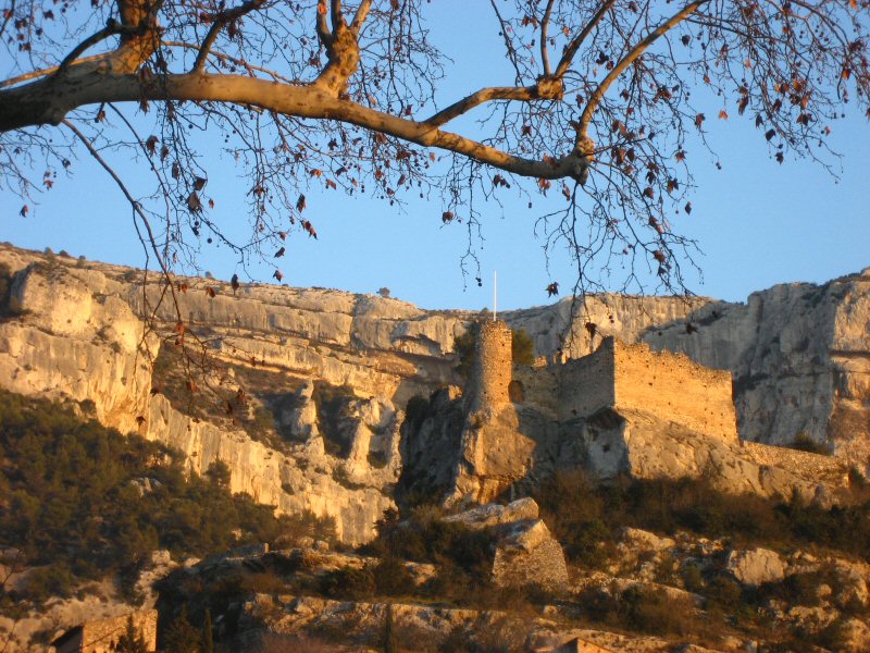 Photo: Joel Takv, CC BY-SA 2.5 (via Wikimedia Commons)
Circuit VTT : Fontaine de Vaucluse
~11 min drive
A 13-mile mountain bike trail that makes a loop in Provence-Alpes-Côte d'Azur, France.
Chemin des Grandes Drailles
~33 min drive
An out-and-back mountain bike trail in Provence-Alpes-Côte d'Azur, France.
Chemin Ferrand
~42 min drive
An out-and-back mountain bike trail in Occitania, France.
Sangliers
~41 min drive
An out-and-back mountain bike trail in Provence-Alpes-Côte d'Azur, France.
Boussargues
~43 min drive
An out-and-back mountain bike trail in Occitania, France.
Also worth it near here


Conditions and forecast
Daily highs and lows, wind and the chance of precipitation at Les contreforts des Monts-de-Vaucluse à Pernes-Les-Fontaines for the next 7 days, from the Open-Meteo model.
Map and trail data © OpenStreetMap contributors
