Circuit VTT : Fontaine de Vaucluse
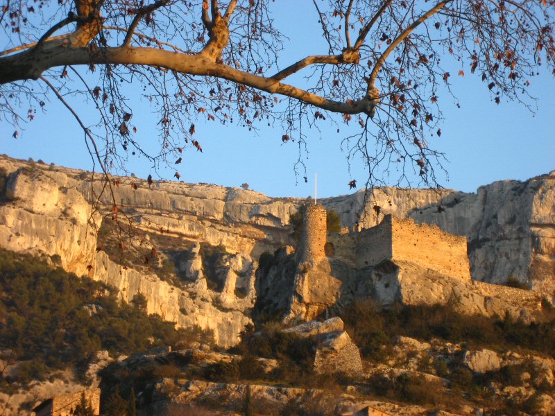 Photo: Joel Takv, CC BY-SA 2.5 (via Wikimedia Commons)
- 12.6 mi
- loop
- 3,366 ft
- climb
- Loop
- route
Circuit VTT : Fontaine de Vaucluse is a 13-mile mountain bike trail that makes a loop in Provence-Alpes-Côte d'Azur, France. It runs between about 260 ft and 2,170 ft above sea level, with roughly 3,370 ft of climbing over the route. It is maintained by La Provence à vélo. It is mapped as a named route, with its sections joined into one trail here. It is on the edge of Fontaine-de-Vaucluse. For camping, Camping La Coutelière and Aire Naturelle La Folie are within about 6 miles. Distances, elevations and the trail shape here come from OpenStreetMap and the Copernicus 90 m elevation model. Trail access for bikes, closures and conditions change, so check locally before you ride.
Conditions and forecast
Daily highs and lows, wind and the chance of precipitation at Circuit VTT : Fontaine de Vaucluse for the next 7 days, from the Open-Meteo model.
Map and trail data © OpenStreetMap contributors
