Chemin des Grandes Drailles
- 3.1 mi
- round trip
- 42 ft
- climb
- Easy
- difficulty
- Gravel
- surface
Chemin des Grandes Drailles is an out-and-back mountain bike trail in Provence-Alpes-Côte d'Azur, France. It is 1.6 miles each way, 3.1 miles there and back. It stays at about 30 ft above sea level and is close to flat. It is rated easy for riding (mtb:scale 0): a smooth surface with no particular obstacles. Most of the way is gravel. The nearest town is Maillane, about 1.6 miles south of the start. For camping, Les Patios and Le Micocouliers are within about 6 miles. Distances, elevations and the trail shape here come from OpenStreetMap and the Copernicus 90 m elevation model. Trail access for bikes, closures and conditions change, so check locally before you ride.
Keep exploring — more rides worth the drive
 Photo: Juliandinan, CC BY-SA 4.0 (via Wikimedia Commons)
GTV VTT Étape 6 : Fontaine-de-Vaucluse => Mérindol
~33 min drive
A 10.0-mile mountain bike trail in Provence-Alpes-Côte d'Azur, France.
 Photo: Daniel VILLAFRUELA, CC BY-SA 3.0 (via Wikimedia Commons)
Future voie verte Fontanès - Vic le Fesq
~60 min drive
An out-and-back mountain bike trail in Occitania, France.
RIDE
Chemin des Crémades et de Pêne
~12 min drive
An out-and-back mountain bike trail in Provence-Alpes-Côte d'Azur, France.
RIDE
Descente de la Bastide
~28 min drive
An out-and-back mountain bike trail in Occitania, France.
RIDE
Chemin Ferrand
~35 min drive
An out-and-back mountain bike trail in Occitania, France.
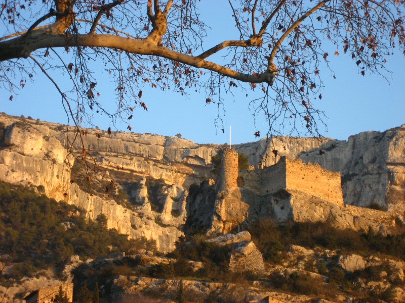 Photo: Joel Takv, CC BY-SA 2.5 (via Wikimedia Commons)
Circuit VTT : Fontaine de Vaucluse
~33 min drive
A 13-mile mountain bike trail that makes a loop in Provence-Alpes-Côte d'Azur, France.
RIDE
Descente du Président
~26 min drive
An out-and-back mountain bike trail in Occitania, France.
RIDE
Chemin de Saint-Siffret
~37 min drive
An out-and-back mountain bike trail in Occitania, France.
RIDE
vallon de Sanguinette
~45 min drive
An out-and-back mountain bike trail in Provence-Alpes-Côte d'Azur, France.
RIDE
Chemin du Château d'Eau
~37 min drive
A 0.8-mile mountain bike trail that makes a loop in Occitania, France.
Also worth it near here
 Photo: Patrick, CC BY-SA 2.0 (via Wikimedia Commons)
Montagne de Frigolet
~6 min drive
SEE
Portage Kayak Barrage de Vallabrègues
~14 min drive
 Photo: Stuart Locke, CC BY-SA 3.0 (via Wikimedia Commons)
Les Oliviers
~17 min drive
 Photo: This picture belongs to Xavier Caré.
Please credit : Xavier Caré / Wikimedia Commons / CC-BY-SA.
If you would like special permission to use, license, or purchase the image please contact me to negotiate terms.
I'd appreciate if you could let me know about it or mail me ( xavier.carepm.me) if you want to use this picture out of the Wikimedia project scope., CC BY-SA 4.0 (via Wikimedia Commons)
Abbaye Saint-Honorat – Arènes d'Arles
~20 min drive
 Photo: Michael Palatan, Public domain (via Wikimedia Commons)
Plage de Collias
~30 min drive
Conditions and forecast
Daily highs and lows, wind and the chance of precipitation at Chemin des Grandes Drailles for the next 7 days, from the Open-Meteo model.
Map and trail data © OpenStreetMap contributors
