Chemin de la Nible
- 2.6 mi
- round trip
- 1,367 ft
- climb
- Easy
- difficulty
- Out and back
- route
Chemin de la Nible is an out-and-back mountain bike trail in Auvergne-Rhône-Alpes, France, inside Parc naturel régional des Baronnies provençales. It is 1.3 miles each way, 2.6 miles there and back. It runs between about 1,830 ft and 2,120 ft above sea level, with roughly 560 ft of climbing one way. It is rated easy for riding (mtb:scale 0): a smooth surface with no particular obstacles. The nearest town is Eygaliers, about 1.1 miles east of the start. Peaks within about 3 miles include La Nible, La Blache and Rocher Saint-Julien. For camping, Le Moulin de Cost and Les Éphélides are within about 6 miles. Distances, elevations and the trail shape here come from OpenStreetMap and the Copernicus 90 m elevation model. Trail access for bikes, closures and conditions change, so check locally before you ride.
Keep exploring — more rides worth the drive
 Photo: Marianne Casamance, CC BY-SA 3.0 (via Wikimedia Commons)
GTV VTT Étape 1 : Savoillans => Malaucène
~17 min drive
A 20-mile mountain bike trail in Provence-Alpes-Côte d'Azur, France.
RIDE
Chemin des Colombets
~16 min drive
An out-and-back mountain bike trail in Provence-Alpes-Côte d'Azur, France.
RIDE
Sentier d'Interprétation "Bois de Lumière"
~17 min drive
A 1.2-mile mountain bike trail that makes a loop in Auvergne-Rhône-Alpes, France.
RIDE
Lure Enduro VTT
~47 min drive
An out-and-back mountain bike trail in Provence-Alpes-Côte d'Azur, France.
 Photo: Vebrer, CC BY-SA 4.0 (via Wikimedia Commons)
De Monieux à Saint-Jean-de-Sault
~22 min drive
A 7.7-mile mountain bike trail in Provence-Alpes-Côte d'Azur, France.
RIDE
Chemin des Saumes
~24 min drive
An out-and-back mountain bike trail in Auvergne-Rhône-Alpes, France.
 Photo: Véronique PAGNIER, CC BY-SA 3.0 (via Wikimedia Commons)
Les contreforts des Monts-de-Vaucluse à Pernes-Les-Fontaines
~36 min drive
A 13-mile mountain bike trail that makes a loop in Provence-Alpes-Côte d'Azur, France.
RIDE
Courroie du Rieu
~24 min drive
An out-and-back mountain bike trail in Auvergne-Rhône-Alpes, France.
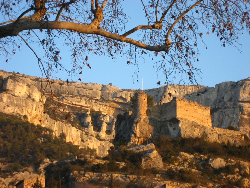 Photo: Joel Takv, CC BY-SA 2.5 (via Wikimedia Commons)
Circuit VTT : Fontaine de Vaucluse
~41 min drive
A 13-mile mountain bike trail that makes a loop in Provence-Alpes-Côte d'Azur, France.
RIDE
Chemin de Piérostit
~24 min drive
An out-and-back mountain bike trail in Auvergne-Rhône-Alpes, France.
Also worth it near here


Conditions and forecast
Daily highs and lows, wind and the chance of precipitation at Chemin de la Nible for the next 7 days, from the Open-Meteo model.
Map and trail data © OpenStreetMap contributors
