Murtarous
A 0.7-mile point-to-point route in Grisons, Switzerland.
- 0.7 mi
- one way
- 388 ft
- climb
- 6,033 ft
- high point
- Point to point
- route
Murtarous is a 0.7-mile point-to-point route in Grisons, Switzerland, inside Schweizerischer Nationalpark. It runs between about 5,590 ft and 6,030 ft above sea level, with roughly 390 ft of climbing one way. It is a mountain path with steeper and uneven sections, so wear proper hiking shoes. Dogs are not allowed. It is mapped as a named hiking route, with the sections joined into one trail here. The nearest town is Zernez, about 5.3 miles southeast of the trailhead. Peaks within about 3 miles include Piz la Schera, Muottas da Grimmels and Munt la Schera. For camping, Camping Cul is within about 6 miles. There are 2 other mapped trails within about 3 miles, so you can combine or extend the outing. Distances, elevations and the route shape here come from OpenStreetMap and the Copernicus 90 m elevation model. Trails, access rules and conditions change, so check locally before you go.
Keep exploring — more trails worth the drive
 Photo: Beat Ruest, CC BY-SA 4.0 (via Wikimedia Commons)
Via son Giachen
~13 min drive
A 2.4-mile point-to-point route in Grisons, Switzerland.
 Photo: qwesy qwesy, CC BY 3.0 (via Wikimedia Commons)
Senda d'aventüra e culturala Puntins Ots Uina
~25 min drive
An out-and-back trail, 0.7 miles each way (1.4 miles round trip) in Grisons, Switzerland.
Champlönch
~2 min drive
A 1.4-mile point-to-point route in Grisons, Switzerland.
Alp la Schera
~3 min drive
A 0.3-mile point-to-point route in Grisons, Switzerland.
Invernale C.Piazzi
~27 min drive
An out-and-back trail, 1.3 miles each way (2.6 miles round trip) in Lombardy, Italy.
 Photo: Gaggi Luca 76, CC BY 3.0 (via Wikimedia Commons)
Livigno (Loc. Teola) – Rifugio Monte alle Scale (Cancano)
~13 min drive
A 8.7-mile point-to-point route in Lombardy, Italy.
 Photo: Capricorn4049, CC BY-SA 4.0 (via Wikimedia Commons)
Senda Languard
~27 min drive
A 2.6-mile point-to-point route in Grisons, Switzerland.
Nationalpark Panoramaweg
~8 min drive
A 15-mile point-to-point route in Grisons, Switzerland.
La senda da "SENTA"
~17 min drive
An out-and-back trail, 0.5 miles each way (1.0 miles round trip) in Grisons, Switzerland.
 Photo: Capricorn4049, CC BY-SA 4.0 (via Wikimedia Commons)
Via Chazforà
~14 min drive
A 1.6-mile point-to-point route in Grisons, Switzerland.
Also worth it near here
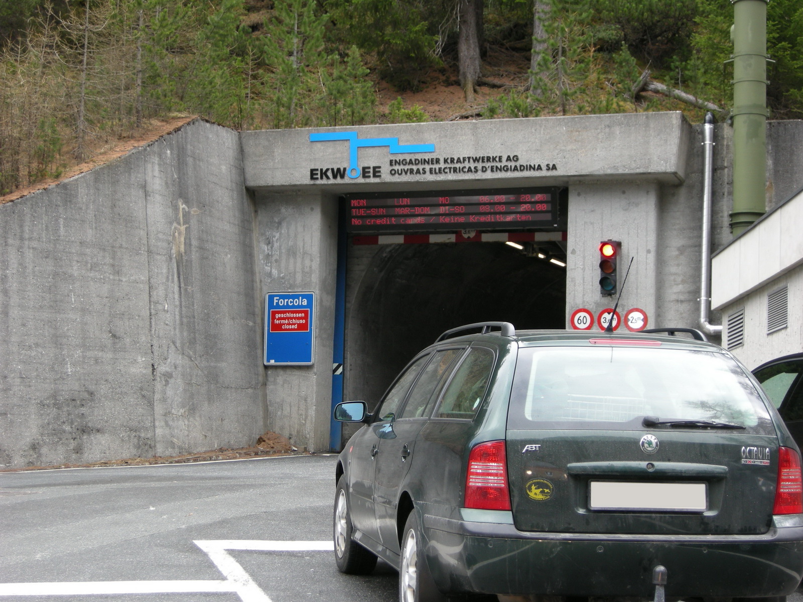 Photo: mstefano80, CC BY-SA 2.0 (via Wikimedia Commons)
Piz la Schera
~0 min drive
Vallainas
~9 min drive
Camping Cul
~10 min drive
 Photo: qwesy qwesy, CC BY 3.0 (via Wikimedia Commons)
Costaccia
~13 min drive
 Photo: Adrian Michael, CC BY-SA 3.0 (via Wikimedia Commons)
Engiadina Bassa Etappe 1 (Susch – Ftan)
~15 min drive
Conditions and forecast
Daily highs and lows, wind and the chance of precipitation at Murtarous for the next 7 days, from the Open-Meteo model.
Map and trail data © OpenStreetMap contributors
