Engiadina Bassa Etappe 1 (Susch – Ftan)
A 24-mile mountain bike trail in Grisons, Switzerland.
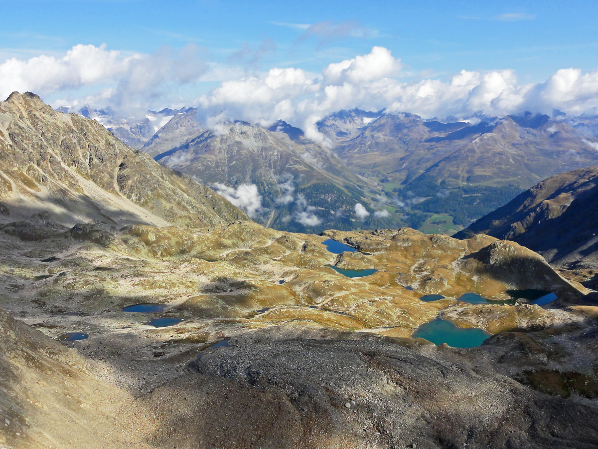
 Photo: Adrian Michael, CC BY-SA 3.0 (via Wikimedia Commons)
- 24.0 mi
- one way
- 7,587 ft
- climb
- Difficult
- difficulty
- Point to point
- route
Engiadina Bassa Etappe 1 (Susch – Ftan) is a 24-mile mountain bike trail in Grisons, Switzerland. It runs between about 4,260 ft and 8,210 ft above sea level, with roughly 7,590 ft of climbing one way. It is rated mtb:scale 2: larger roots and rocks, steps and steeper pitches, for confident riders. It is mapped as a named route, with its sections joined into one trail here. It is on the edge of Susch. Peaks within about 3 miles include Mot Nair, Piz Spadlas and Piz Chastè. For camping, Camping Cul is within about 6 miles. Distances, elevations and the trail shape here come from OpenStreetMap and the Copernicus 90 m elevation model. Trail access for bikes, closures and conditions change, so check locally before you ride.
Make it a trip
Roamze builds the days around this trail: where to sleep, where to eat after, what to do if it rains. You change anything.
Keep exploring — more rides worth the drive
Murtera Bike
~10 min drive
A 6.4-mile mountain bike trail in Grisons, Switzerland.
Senda da Cler
~10 min drive
An out-and-back mountain bike trail in Grisons, Switzerland.
Alp Funtauna
~16 min drive
An out-and-back mountain bike trail in Grisons, Switzerland.
Spärra Trail
~16 min drive
An out-and-back mountain bike trail in Grisons, Switzerland.
Alp Garfiun
~17 min drive
A 12-mile mountain bike trail that makes a loop in Grisons, Switzerland.
Avrona Bike
~17 min drive
A 2.1-mile mountain bike trail in Grisons, Switzerland.
Stillbergalp
~18 min drive
An out-and-back mountain bike trail in Grisons, Switzerland.
Pischa
~19 min drive
A 11-mile mountain bike trail in Grisons, Switzerland.
Teufi trail
~19 min drive
An out-and-back mountain bike trail in Grisons, Switzerland.
Dischmaweg
~17 min drive
An out-and-back mountain bike trail in Grisons, Switzerland.
Conditions and forecast
Daily highs and lows, wind and the chance of precipitation at Engiadina Bassa Etappe 1 (Susch – Ftan) for the next 7 days, from the Open-Meteo model.
Map and trail data © OpenStreetMap contributors
