Vallainas
An out-and-back cross-country ski trail in Grisons, Switzerland.
- 3.8 mi
- round trip
- 1,788 ft
- climb
- 5,223 ft
- high point
- Out and back
- route
Vallainas is an out-and-back cross-country ski trail in Grisons, Switzerland. It is 1.9 miles each way, 3.8 miles there and back. It runs between about 4,880 ft and 5,220 ft above sea level, with roughly 650 ft of climbing one way. It is mapped as a moderate route. It is groomed for classic and skate skiing. The nearest town is Zernez, about 1.4 miles southwest of the start. Peaks within about 3 miles include Murtaröl, Piz d'Urezza and Muot sainza Bön. For camping, Camping Cul is within about 6 miles. There are 8 other mapped trails within about 3 miles, so you can combine or extend the outing. Distances, elevations and the trail shape here come from OpenStreetMap and the Copernicus 90 m elevation model. Grooming and snow conditions change daily, so check the local trail report before you go.
Keep exploring — more snow worth the drive
 Photo: Jag9889, CC BY-SA 4.0 (via Wikimedia Commons)
Herz-Loipe Davos
~24 min drive
A 0.9-mile cross-country ski trail that makes a loop in Grisons, Switzerland.
 Photo: Tiia Monto, CC BY-SA 3.0 (via Wikimedia Commons)
Vietta Alp da Staz
~27 min drive
An out-and-back cross-country ski trail in Grisons, Switzerland.
 Photo: Jeka pes, CC0 (via Wikimedia Commons)
Verbindungsloipe Partenen - Gaschurn
~35 min drive
A 0.9-mile cross-country ski trail in Vorarlberg, Austria.
 Photo: Karl432, CC BY-SA 3.0 (via Wikimedia Commons)
Madulain - Piz Belvair
~16 min drive
An out-and-back ski touring route in Grisons, Switzerland.
God Cumün
~6 min drive
An out-and-back cross-country ski trail in Grisons, Switzerland.
Sältenüebweg
~22 min drive
An out-and-back ski touring route in Grisons, Switzerland.
 Photo: ArthurMcGill, CC BY-SA 4.0 (via Wikimedia Commons)
Loipe Reschen - Reschensee - Pista Resia - Lago di Resia
~40 min drive
An out-and-back cross-country ski trail in Trentino-South Tyrol, Italy.
 Photo: Jiri Novak, CC BY 3.0 (via Wikimedia Commons)
Pista sci di fondo Passo Stelvio
~35 min drive
A 0.6-mile cross-country ski trail that makes a loop in Lombardy, Italy.
 Photo: Capricorn4049, CC BY-SA 4.0 (via Wikimedia Commons)
La veduta - Fuorcla d'Agnel - Chamanna Jenatsch
~39 min drive
An out-and-back ski touring route in Grisons, Switzerland.
Sur En Suot
~11 min drive
An out-and-back cross-country ski trail in Grisons, Switzerland.
Also worth it near here
Camping Cul
~2 min drive
 Photo: This file was provided to Wikimedia Commons by Roland Zumbühl of Picswiss as part of a cooperation project. If the direct link to the picture is not provided (URLs are subject to changes), you can find the picture starting from the canton of the subject: http://www.picswiss.ch/geo.html then the location., CC BY-SA 3.0 (via Wikimedia Commons)
Piz d'Urezza
~3 min drive
 Photo: Beat Ruest, CC BY-SA 4.0 (via Wikimedia Commons)
Via son Giachen
~6 min drive
 Photo: Adrian Michael, CC BY-SA 3.0 (via Wikimedia Commons)
Engiadina Bassa Etappe 1 (Susch – Ftan)
~8 min drive
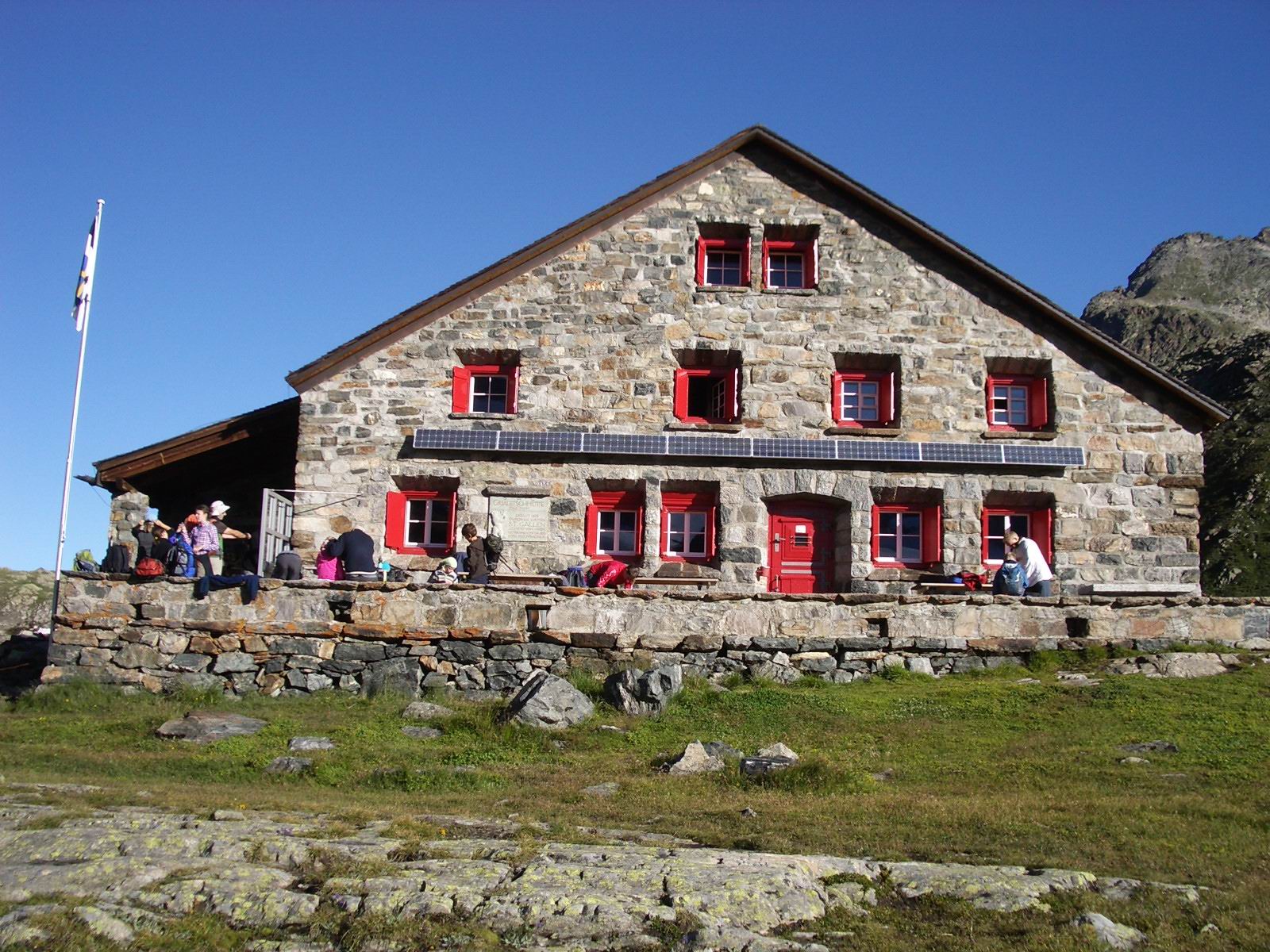 Photo: Paebi, CC BY-SA 3.0 (via Wikimedia Commons)
Grialetschhütte
~10 min drive
Conditions and forecast
Daily highs and lows, wind and the chance of precipitation at Vallainas for the next 7 days, from the Open-Meteo model.
Map and trail data © OpenStreetMap contributors
