McNally Side Trail
- 0.5 mi
- round trip
- 264 ft
- climb
- 819 ft
- high point
- Out and back
- route
- Jun–Sep
- best months
McNally Side Trail is an out-and-back trail, 0.5 miles each way (1.0 miles round trip) in Ontario, Canada. It runs between about 720 ft and 820 ft above sea level, with roughly 100 ft of climbing one way. Most of the way is dirt. The nearest town is Burlington, about 4.2 miles west of the trailhead. For camping, Lost Forest Park & Camping Resort is within about 6 miles. Distances, elevations and the route shape here come from OpenStreetMap and the Copernicus 90 m elevation model. Trails, access rules and conditions change, so check locally before you go.
- Nearby · Red Hill Valley Trail · Devil's Punchbowl Side Trail · Dofasco 2000 Trail
Best time to go · Jun–Sep
Best time to visit McNally Side Trail
Best months: June–September. Best months have typical highs of 55–85 °F, lows of 30 °F or warmer (32 °F where the station doesn't record snow), at most one snowy day and no more than 12 wet days.
Jan
34° / 19°
18 wet
Feb
35° / 19°
15 wet
Mar
43° / 25°
13 wet
Apr
55° / 35°
14 wet
May
68° / 46°
14 wet
Jun
77° / 57°
12 wet
Jul
83° / 62°
11 wet
Aug
81° / 61°
12 wet
Sep
74° / 54°
12 wet
Oct
61° / 44°
17 wet
Nov
50° / 34°
15 wet
Dec
39° / 26°
16 wet
Typical high / low (°F) and days with rain or snow, 1991–2020. Measured at Youngstown 2 E, NY, 44.3 mi away at 295 ft. The station sits about 500 ft lower than this place, so expect it a little cooler here. This station doesn't record snowfall. Source: NOAA NCEI U.S. Climate Normals 1991–2020.
Keep exploring — more trails worth the drive
 Photo: Doug Kerr from Albany, NY, United States, CC BY-SA 2.0 (via Wikimedia Commons)
Red Hill Valley Trail
~15 min drive
An out-and-back trail, 0.6 miles each way (1.3 miles round trip) in Ontario, Canada.
 Photo: the-road-is-life, CC BY-SA 2.0 (via Flickr)
Devil's Punchbowl Side Trail
~18 min drive
0.59-mile loop with 107 ft gain in New York.
Photo: the-road-is-life, CC BY-SA 2.0 (via Flickr)Dofasco 2000 Trail
~18 min drive
A 5.88-mile boardwalk point-to-point trail in New York connecting multiple conservation areas and wildlife sanctuaries within the Bruce Trail system.
HIKE
Bruce Trail - Iroquoia Section
~18 min drive
A 74.92-mile point-to-point section of the Bruce Trail in New York that connects with the Ian Reid Side Trail, South Bridle Trail, and Grindstone Marshes Trail.
HIKE
Upper Grindstone Side Trail
Next door
An out-and-back trail, 0.5 miles each way (1.1 miles round trip) in Ontario, Canada.
Photo: the-road-is-life, CC BY-SA 2.0 (via Flickr)Heritage Green Community Trust (Hgct) Trail
~19 min drive
0.68-mile point-to-point trail in New York with 33 ft gain.
HIKE
Mccraney Creek Trail
~18 min drive
A moderate 0.34-mile out-and-back gravel trail in New York that links to the West Side Trail at 16 Mile Creek.
HIKE
Caledonia-To-Dunnville Rail Trail
~30 min drive
A 20.78-mile resurfaced point-to-point trail in New York that connects to the Chippewa trail system.
HIKE
Hamilton-Brantford Rail Trail
~10 min drive
A 19-mile point-to-point route in Ontario, Canada.
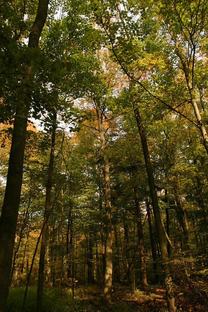 Photo: Martin Cathrae, CC BY-SA 2.0 (via Flickr)
Lookout Trail
~31 min drive
An easy 0.42-mile point-to-point singletrack trail in New York, ideal for a brief hiking experience.
Also worth it near here
 Photo: Laslovarga, CC BY-SA 3.0 (via Wikimedia Commons)
Burlington Heights
~7 min drive
 Photo: Sikander Iqbal, CC BY-SA 4.0 (via Wikimedia Commons)
Borer's Falls
~7 min drive
 Photo: Eric Marshall, CC BY 3.0 (via Wikimedia Commons)
Burlington Beach
~8 min drive
 Photo: Good Free Photos, CC BY 3.0 (via Wikimedia Commons)
Bronte Creek Campground access point
~14 min drive
CLIMB
Devil's Punchbowl (ICE)
~18 min drive
Conditions and forecast
Daily highs and lows, wind and the chance of precipitation at McNally Side Trail for the next 7 days, from the Open-Meteo model.
Map and trail data © OpenStreetMap contributors
