Hamilton-Brantford Rail Trail
A 19-mile point-to-point route in Ontario, Canada.
- 19.4 mi
- one way
- 874 ft
- climb
- 839 ft
- high point
- Point to point
- route
Best time to visit Hamilton-Brantford Rail Trail
Best months: June–September. Best months have typical highs of 55–85 °F, lows of 30 °F or warmer (32 °F where the station doesn't record snow), at most one snowy day and no more than 12 wet days.
Jan
34° / 19°
18 wet
Feb
35° / 19°
15 wet
Mar
43° / 25°
13 wet
Apr
55° / 35°
14 wet
May
68° / 46°
14 wet
Jun
77° / 57°
12 wet
Jul
83° / 62°
11 wet
Aug
81° / 61°
12 wet
Sep
74° / 54°
12 wet
Oct
61° / 44°
17 wet
Nov
50° / 34°
15 wet
Dec
39° / 26°
16 wet
Typical high / low (°F) and days with rain or snow, 1991–2020. Measured at Youngstown 2 E, NY, 46.6 mi away at 295 ft. The station sits about 500 ft lower than this place, so expect it a little cooler here. This station doesn't record snowfall. Source: NOAA NCEI U.S. Climate Normals 1991–2020.
Hamilton-Brantford Rail Trail is a 19-mile point-to-point route in Ontario, Canada. It runs between about 290 ft and 840 ft above sea level, with roughly 870 ft of climbing one way. It is mapped as a named hiking route, with the sections joined into one trail here. The nearest town is Hamilton, about 3.0 miles west of the trailhead. Peaks within about 3 miles include Burlington Heights. Lower Princess Falls and Upper Princess Falls are within about 3 miles. There are 2 other mapped trails within about 3 miles, so you can combine or extend the outing. Distances, elevations and the route shape here come from OpenStreetMap and the Copernicus 90 m elevation model. Trails, access rules and conditions change, so check locally before you go.
Make it a trip
Roamze builds the days around this trail: where to sleep, where to eat after, what to do if it rains. You change anything.
Keep exploring — more trails worth the drive
 Photo: Doug Kerr from Albany, NY, United States, CC BY-SA 2.0 (via Wikimedia Commons)
Red Hill Valley Trail
~12 min drive
An out-and-back trail, 0.6 miles each way (1.3 miles round trip) in Ontario, Canada.
 Photo: the-road-is-life, CC BY-SA 2.0 (via Flickr)
Devil's Punchbowl Side Trail
~16 min drive
0.59-mile loop with 107 ft gain in New York.
Photo: the-road-is-life, CC BY-SA 2.0 (via Flickr)Dofasco 2000 Trail
~16 min drive
A 5.88-mile boardwalk point-to-point trail in New York connecting multiple conservation areas and wildlife sanctuaries within the Bruce Trail system.
Bruce Trail - Iroquoia Section
~17 min drive
A 74.92-mile point-to-point section of the Bruce Trail in New York that connects with the Ian Reid Side Trail, South Bridle Trail, and Grindstone Marshes Trail.
Arteban Road Side Trail
~4 min drive
A 1.9-mile point-to-point route in Ontario, Canada.
Photo: the-road-is-life, CC BY-SA 2.0 (via Flickr)Heritage Green Community Trust (Hgct) Trail
~17 min drive
0.68-mile point-to-point trail in New York with 33 ft gain.
Mccraney Creek Trail
~27 min drive
A moderate 0.34-mile out-and-back gravel trail in New York that links to the West Side Trail at 16 Mile Creek.
Caledonia-To-Dunnville Rail Trail
~21 min drive
A 20.78-mile resurfaced point-to-point trail in New York that connects to the Chippewa trail system.
Happy Hawthorn
~9 min drive
A 0.4-mile loop in Ontario, Canada.
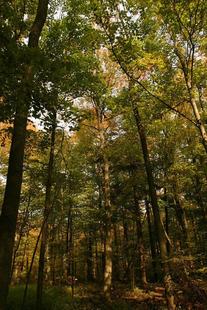 Photo: Martin Cathrae, CC BY-SA 2.0 (via Flickr)
Bruce Trail Side Trails - Iroquoia Section
~32 min drive
0.50-mile point-to-point trail in New York with 24 ft gain and 145 ft loss.
Also worth it near here
 Photo: Mustang Joe, CC0 (via Wikimedia Commons)
Lower Princess Falls
~1 min drive
 Photo: Laslovarga, CC BY-SA 3.0 (via Wikimedia Commons)
Burlington Heights
~4 min drive
 Photo: Eric Marshall, CC BY 3.0 (via Wikimedia Commons)
Burlington Beach
~13 min drive
Devil's Punchbowl (ICE)
~16 min drive
 Photo: Mykola Swarnyk, CC BY-SA 3.0 (via Wikimedia Commons)
Chiefswood Park
~23 min drive
Conditions and forecast
Daily highs and lows, wind and the chance of precipitation at Hamilton-Brantford Rail Trail for the next 7 days, from the Open-Meteo model.
Map and trail data © OpenStreetMap contributors
