Lutherwood Camp & Retreat Center
Hiking business nearby (~44 mi away) — hasn't claimed their Roamze page yet
An out-and-back trail, 0.3 miles each way (0.6 miles round trip) in British Columbia, Canada.
Best months: May–September. Best months have typical highs of 55–85 °F, lows of 30 °F or warmer (32 °F where the station doesn't record snow), at most one snowy day and no more than 12 wet days.
Jan
45° / 34°
18 wet
Feb
48° / 35°
16 wet
Mar
52° / 38°
17 wet
Apr
58° / 42°
14 wet
May
64° / 47°
11 wet
Jun
69° / 52°
10 wet
Jul
73° / 55°
6 wet
Aug
73° / 55°
6 wet
Sep
67° / 50°
9 wet
Oct
57° / 44°
15 wet
Nov
50° / 38°
19 wet
Dec
44° / 34°
19 wet
Typical high / low (°F) and days with rain or snow, 1991–2020. Measured at Blaine, WA, 19.8 mi away at 60 ft. This station doesn't record snowfall. Source: NOAA NCEI U.S. Climate Normals 1991–2020.
Westside Trail is an out-and-back trail, 0.3 miles each way (0.6 miles round trip) in British Columbia, Canada. It stays at about 70 ft above sea level and is close to flat. Most of the way is gravel. It is on the edge of Port Coquitlam. Peaks within about 3 miles include Mary Hill. For camping, Sapperton Dyke and Raven's Nest Outdoor Group Campsite are within about 6 miles. There are 5 other mapped trails within about 3 miles, so you can combine or extend the outing. Distances, elevations and the route shape here come from OpenStreetMap and the Copernicus 90 m elevation model. Trails, access rules and conditions change, so check locally before you go.
Roamze builds the days around this trail: where to sleep, where to eat after, what to do if it rains. You change anything.
Coquitlam River Trail
~4 min drive
Easy riverside out-and-back walk along the Coquitlam River.
David Bikeway
~4 min drive
Easy 0.8-mile out-and-back bikeway in British Columbia.
Bullet Dodger
~7 min drive
Technical T3 scramble near Bullet Dodger, BC—compact out-and-back with exposed terrain.
Rock Candy
~7 min drive
Short out-and-back alpine trail featuring colorful rock formations.
Scout's Way Home
~6 min drive
Easy sub-mile out-and-back walk through British Columbia backcountry.
Alfred Howe Greenway Path
~8 min drive
Easy 1.2-mile out-and-back greenway walk in British Columbia.
South Slope Trail
~12 min drive
Scenic 5.9-mile out-and-back climb with moderate elevation gain and alpine views.
Log Walk
~7 min drive
Easy out-and-back forest walk through BC woodland.
Old Frank's Trail
~6 min drive
Easy 1.1-mile out-and-back walk through British Columbia backcountry.
Tynehead Perimeter Trail
~11 min drive
Easy 2-mile out-and-back forest walk through Tynehead Regional Park.
Also worth it near here
 Photo: Alex of Canada, CC BY-SA 4.0 (via Wikimedia Commons)
Crystal Falls
~7 min drive
Sapperton Dyke
~7 min drive
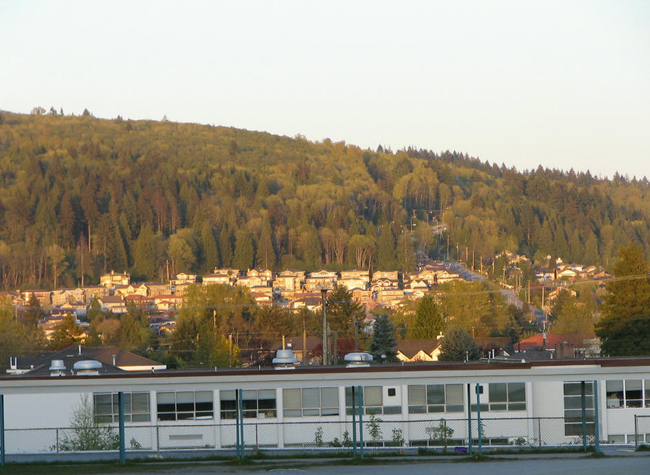 Photo: User:Flying Penguin, CC BY-SA 3.0 (via Wikimedia Commons)
Burnaby Mountain
~10 min drive
Barnet Trail
~10 min drive
 Photo: Ben Waardenburg benwubbleyou, CC0 (via Wikimedia Commons)
Buntzen Lake South Beach
~11 min drive
Daily highs and lows, wind and the chance of precipitation at Westside Trail for the next 7 days, from the Open-Meteo model.
Map and trail data © OpenStreetMap contributors
Outfitters and businesses. They haven’t set up their Roamze page yet.
Lutherwood Camp & Retreat Center
Hiking business nearby (~44 mi away) — hasn't claimed their Roamze page yet
WHATCOM MEADOWS
Hiking business nearby (~47 mi away) — hasn't claimed their Roamze page yet
Canoe Island French Camp
Hiking business nearby (~49 mi away) — hasn't claimed their Roamze page yet
