

Indian Springs Montana
Hiking business nearby (~46 mi away) — hasn't claimed their Roamze page yet
An out-and-back trail, 0.6 miles each way (1.1 miles round trip) in Alberta, Canada.
Table Mountain Viewpoint Trail is an out-and-back trail, 0.6 miles each way (1.1 miles round trip) in Alberta, Canada, inside Castle Wildland Provincial Park. It runs between about 6,160 ft and 6,970 ft above sea level, with roughly 880 ft of climbing one way. It is a mountain path with steeper and uneven sections, so wear proper hiking shoes. The nearest town is Lundbreck, about 17 miles south of the trailhead. Peaks within about 3 miles include Table Mountain and Whistler Mountain. For camping, Camping Area 1 and Syncline B Goup Site are within about 6 miles. Distances, elevations and the route shape here come from OpenStreetMap and the Copernicus 90 m elevation model. Trails, access rules and conditions change, so check locally before you go.
Roamze builds the days around this trail: where to sleep, where to eat after, what to do if it rains. You change anything.
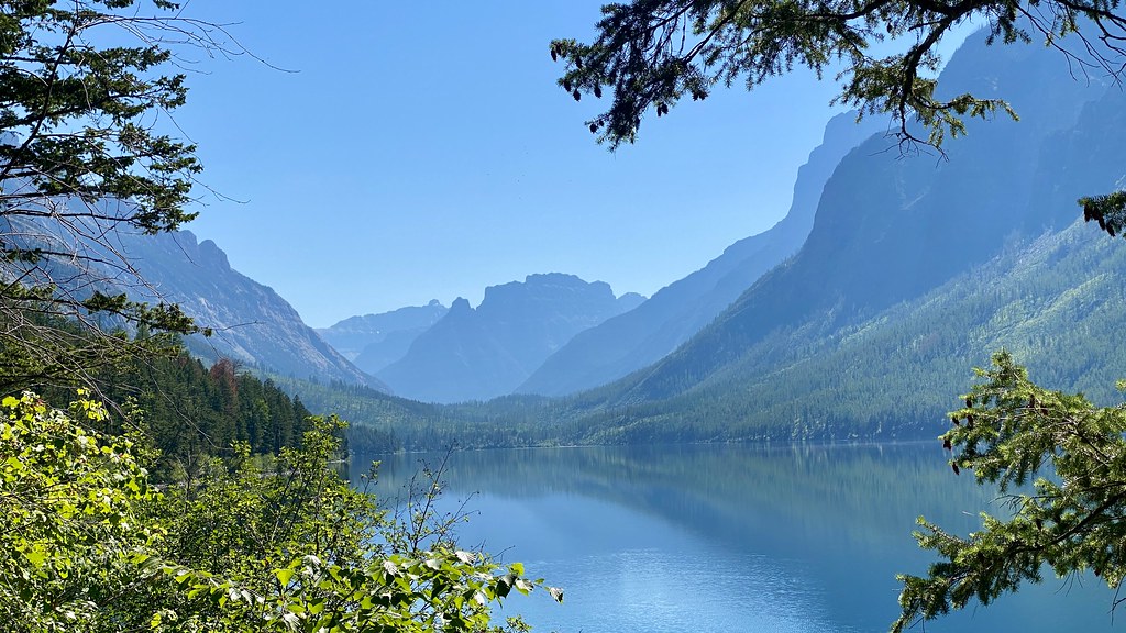 Photo: lamblukas, CC BY 2.0 (via Flickr)
Kintla Trail
~46 min drive
11.09-mile out-and-back trail in Montana with 517 ft elevation gain.
 Photo: lamblukas from San Francisco, United States, CC BY 2.0 (via Wikimedia Commons)
Hole in the Wall Campground Trail
~50 min drive
1.26-mile out-and-back hike in Montana with 472 ft gain and 6,636 ft max elevation.
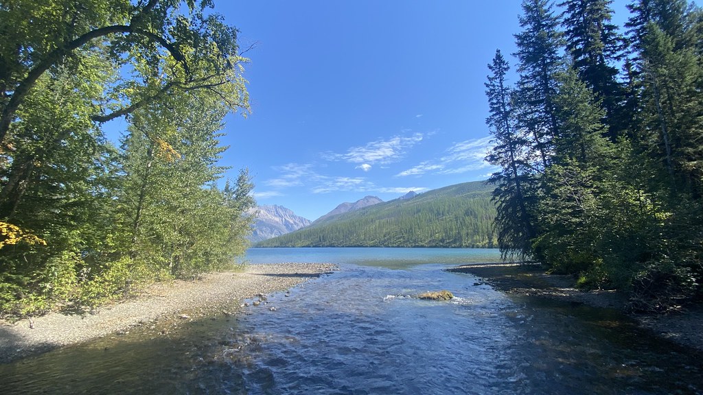 Photo: lamblukas, CC BY 2.0 (via Flickr)
Boulder Pass Trail
~50 min drive
59.14-mile out-and-back trail in Montana with 3,220 ft elevation gain.
 Photo: -ted, CC BY 2.0 (via Wikimedia Commons)
Porcupine Lookout Trail
~1h drive
10.02-mile out-and-back hike in Montana with 4,516 ft elevation gain/loss.
Numa Lookout Trailhead
~1h 3m drive
This trail takes you to one of the (seasonally) staffed fire lookouts in the park. It starts on the shore of Bowman Lake, with the first half remaining relatively flat before gaining elevation. Numa Lookout Distance: 5.7 mi (9.2 km), one way Elevation gain: 3,396 ft (1035 m)…
 Photo: Greg Willis from Denver, CO, usa, CC BY-SA 2.0 (via Wikimedia Commons)
North Boundary Trail
~52 min drive
10.64-mile out-and-back trail in Montana with 856 ft gain.
 Photo: lamblukas, CC BY 2.0 (via Flickr)
Bowman Lake Trail
~52 min drive
26.53-mile out-and-back trail in Montana with 11 ft of elevation gain.
 Photo: GlacierNPS, Public domain (via Wikimedia Commons)
Kishenehn Trail
~52 min drive
17.62-mile out-and-back trail in Montana with 1,899 ft elevation gain and 4,104 ft max elevation.
 Photo: Mobilus In Mobili, CC BY-SA 2.0 (via Flickr)
Numa Ridge Lookout Trail
~1h 2m drive
9.83-mile out-and-back hike to Numa Ridge Lookout in Montana with 2,916 ft gain.
GDT ewj
~15 min drive
A 12-mile point-to-point route in Alberta, Canada.
Also worth it near here
Daily highs and lows, wind and the chance of precipitation at Table Mountain Viewpoint Trail for the next 7 days, from the Open-Meteo model.
Map and trail data © OpenStreetMap contributors
Outfitters and businesses. They haven’t set up their Roamze page yet.
Indian Springs Montana
Hiking business nearby (~46 mi away) — hasn't claimed their Roamze page yet
