Yellow Pine
At a glance
Yellow Pine is a climbing area in the Spring Mountains National Recreation Area, part of the Humboldt-Toiyabe National Forest in Nevada, managed by the Forest Service. It sits within a cluster of climbing and riding spots, with Walla Walla Wash just 0.1 mile away and Nueva Esperanza and White Pine each about 0.3 mile off. The area holds 10 sport climbing routes, all rated from about 5.9 to 5.12a. Among them are "Stay Hungry" at 5.9, the eponymous "Yellow Pine" at 5.10, and "Feed the Tree" at 5.12a. The routes are all sport, and their grades fall in the YDS system. Summer is the most comfortable time to visit. Typical averages from a nearby weather station at Mt Charleston, which sits roughly 786 feet lower than the climbing area, show July highs near 79°F with lows around 52°F. Winter is much colder, with January highs around 44°F and lows near 22°F. Nearby, Mary Jane Falls offers mountain biking about 0.2 mile away, and the Charleston Peak Trail South Loop hike lies about 1.3 miles off. For an overnight stay, Cathedral Rock Picnic Area is about 1.9 miles away.
10 routes · 5.9 – 5.12a · Sport
- best months
- May–Oct
Where it is: Spring Mountains National Recreation Area · Humboldt-Toiyabe National Forest
Near: Las Vegas
Best time to visit Yellow Pine
Best months: May–October. Best months have typical highs of 55–85 °F, lows of 30 °F or warmer (32 °F where the station doesn't record snow), at most one snowy day and no more than 12 wet days.
Jan
44°
22°
6 wet
Feb
44°
22°
6 wet
Mar
49°
26°
6 wet
Apr
55°
30°
4 wet
May
63°
37°
4 wet
Jun
74°
46°
2 wet
Jul
79°
52°
5 wet
Aug
78°
52°
6 wet
Sep
72°
44°
4 wet
Oct
62°
35°
3 wet
Nov
51°
27°
4 wet
Dec
44°
21°
5 wet
Typical high / low (°F) and days with rain or snow, 1991–2020. Measured at Mt Charleston Fire Stn, NV, 1.7 mi away at 7,460 ft. The station sits about 800 ft lower than this place, so expect it a little cooler here. This station doesn't record snowfall. Source: NOAA NCEI U.S. Climate Normals 1991–2020.
Been here? Tell people how it was.
- Walla Walla WashRock climbing0.1 mi
 Mary Jane FallsMountain bikingPhoto: Famartin, CC BY-SA 4.0 (via Wikimedia Commons)0.2 mi
- Nueva EsperanzaRock climbing0.3 mi
- White PineRock climbing0.3 mi
 Trail CanyonMountain bikingPhoto: Famartin, CC BY-SA 4.0 (via Wikimedia Commons)0.8 mi
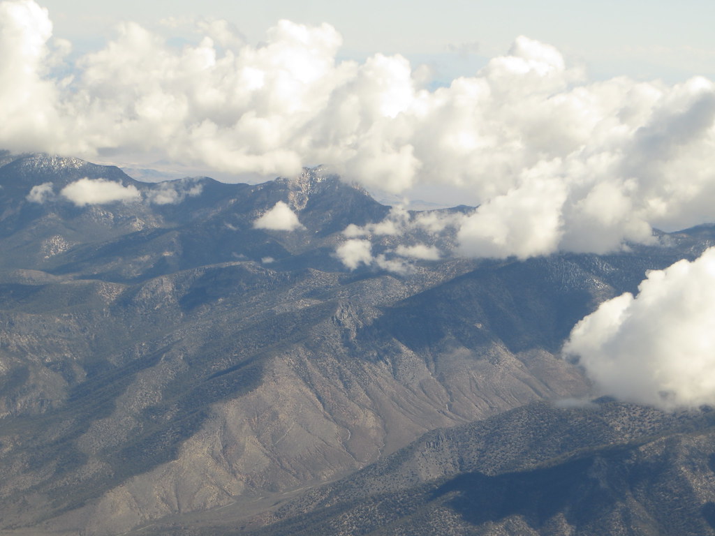 Charleston Peak Trail South LoopHikingPhoto: Ken Lund, CC BY-SA 2.0 (via Flickr)1.3 mi
- Cathedral Rock Picnic AreaCamping1.9 mi
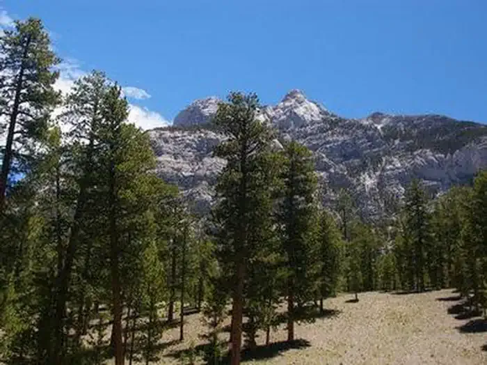 Foxtail Grp Picnic AreaCampingPhoto: Recreation.gov (RIDB) / public domain2.5 mi
 Mary Jane CliffRock climbingPhoto: Ken Lund, CC BY-SA 2.0 (via Flickr)Next door
 Sesame StreetRock climbingPhoto: Ken Lund, CC BY-SA 2.0 (via Flickr)Next door
 Pine Tree LedgeRock climbingPhoto: Ken Lund, CC BY-SA 2.0 (via Flickr)~1 min drive
- The Souls CaveRock climbingPhoto: Ken Lund, CC BY-SA 2.0 (via Flickr)~1 min drive
- The Compton CaveRock climbingPhoto: Ken Lund, CC BY-SA 2.0 (via Flickr)~1 min drive
- Central Slab AreaRock climbingPhoto: Ken Lund, CC BY-SA 2.0 (via Flickr)~2 min drive
 WaldenRock climbingPhoto: Ken Lund, CC BY-SA 2.0 (via Flickr)~3 min drive
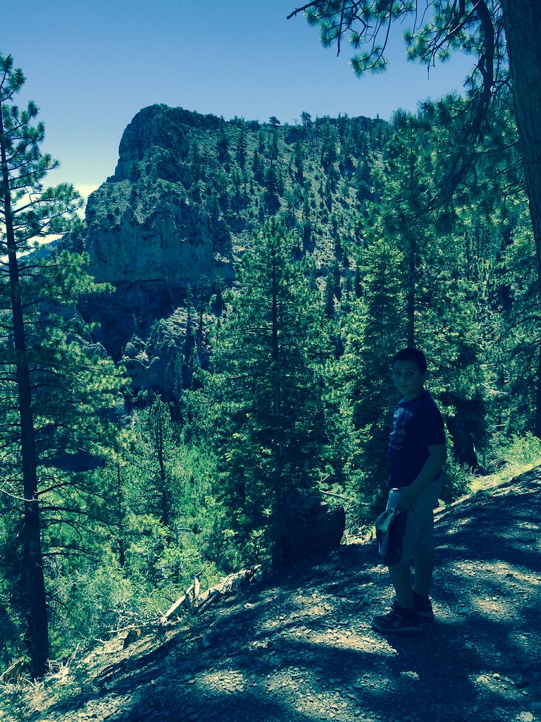 The Sound GardenRock climbingPhoto: christie_verbose, CC BY 2.0 (via Flickr)~3 min drive
 Blue Sky BluffRock climbingPhoto: stevelyon, CC BY-SA 2.0 (via Flickr)~4 min drive
 Red Rock WashRock climbingPhoto: Ken Lund, CC BY-SA 2.0 (via Flickr)~20 min drive
Conditions and forecast
Daily highs and lows, wind and the chance of precipitation at Yellow Pine for the next 7 days, from the Open-Meteo model.

Ask about this place
Questions about Yellow Pine: conditions, access, timing. Answers say when something isn't known.
