Viles Branch
At a glance
Viles Branch is a hike in the Caddo Ranger District of Ouachita National Forest in Arkansas, about 3.3 miles from the town of Albert. The route is an out-and-back that covers roughly 46.6 miles with a total elevation gain of about 1,749 feet. Spring and fall are the most comfortable times to go. Typical averages from a nearby weather station show October highs around 69°F with lows near 52°F, and May highs around 74°F. July and August are the warmest months, with highs in the upper 80s. The Viles Branch Horse Trail and the Little Missouri Trail-North mountain biking route both lie about 1.9 miles away. The Athens-Bigfork South hike is about 2.9 miles off, and Shady Lake campground is about 5.4 miles away.
- round trip
- 23.3 mi
- climb
- 1,749 ft
- route
- Out and back
- difficulty
- Expert
- best months
- Mar–Jun, Sep–Nov
Where it is: Caddo Ranger District · Ouachita National Forest
Near: Mena
Best time to visit Viles Branch
Best months: March–June and September–November. Best months have typical highs of 55–85 °F, lows of 30 °F or warmer (32 °F where the station doesn't record snow), at most one snowy day and no more than 12 wet days.
Jan
47°
32°
9 wet
Feb
53°
35°
9 wet
Mar
61°
42°
10 wet
Apr
69°
50°
9 wet
May
74°
59°
10 wet
Jun
81°
66°
9 wet
Jul
87°
69°
8 wet
Aug
86°
69°
8 wet
Sep
79°
62°
7 wet
Oct
69°
52°
8 wet
Nov
58°
42°
8 wet
Dec
50°
34°
9 wet
Typical high / low (°F) and days with rain or snow, 1991–2020. Measured at Big Fk 1 Sse, AR, 7.2 mi away at 1,200 ft. We don't have this place's elevation, so higher spots nearby can run cooler. Source: NOAA NCEI U.S. Climate Normals 1991–2020.
Been here? Tell people how it was.
- Little Missouri Trail-NorthMountain biking1.9 mi
 Viles Branch Horse TrailHikingPhoto: azoeart, CC BY-SA 2.0 (via Flickr)1.9 mi
 Athens-Bigfork SouthHikingPhoto: azoeart, CC BY-SA 2.0 (via Flickr)2.9 mi
 Bluff MtnHikingPhoto: azoeart, CC BY-SA 2.0 (via Flickr)3 mi
 Little Missouri RiverCanoeingPhoto: Fredlyfish4, CC BY-SA 4.0 (via Wikimedia Commons)4.8 mi
 Shady LakeCampingPhoto: Jerry Turner, CC BY-SA 3.0 (via Wikimedia Commons)5.4 mi
- Caddo RiverCanoeing9.6 mi
- Harris CreekCanoeing9.7 mi
- Viles Branch Horse TrailHikingPhoto: azoeart, CC BY-SA 2.0 (via Flickr)~3 min drive
- Athens-Bigfork SouthHikingPhoto: azoeart, CC BY-SA 2.0 (via Flickr)~5 min drive
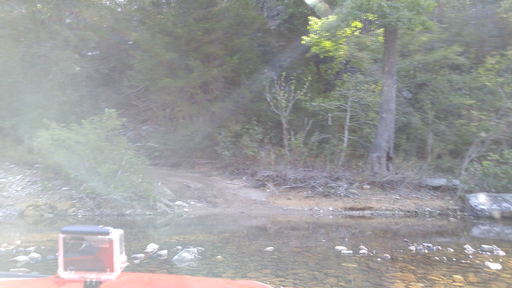 Caney CreekHikingPhoto: thigpen.robert, CC BY-SA 2.0 (via Flickr)~23 min drive
 Wolf Pen Gap 8HikingPhoto: thigpen.robert, CC BY-SA 2.0 (via Flickr)~21 min drive
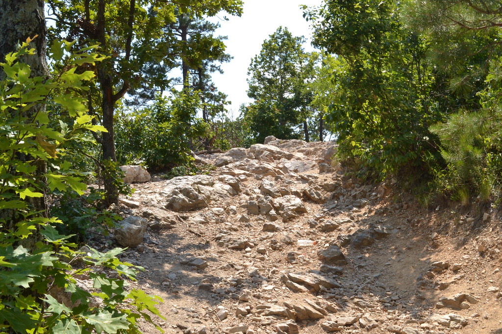 Wolf Pen Gap 6 EastHikingPhoto: thigpen.robert, CC BY-SA 2.0 (via Flickr)~17 min drive
- Little Missouri NorthHiking~8 min drive
 Wolf Pen Gap 8HikingPhoto: thigpen.robert, CC BY-SA 2.0 (via Flickr)~23 min drive
- Wolf Pen Gap 826HikingPhoto: thigpen.robert, CC BY-SA 2.0 (via Flickr)~18 min drive
- Athens-Big Fork NorthHiking~10 min drive
- Wolf Pen Gap 6 WestHikingPhoto: thigpen.robert, CC BY-SA 2.0 (via Flickr)~23 min drive
Also worth it near here
Conditions and forecast
Daily highs and lows, wind and the chance of precipitation at Start for the next 7 days, from the Open-Meteo model.

Ask about this place
Questions about Viles Branch: conditions, access, timing. Answers say when something isn't known.
Local outfitters
- River View Cabins & Canoes19 mi away
- Beavers Bend Adventures46 mi away
Not on Roamze yet. Their page has how to reach them.
