Athens-Big Fork North
- 19.4 mi
- round trip
- 5,529 ft
- climb
- 1,799 ft
- high point
- Out and back
- route
- Mar–Jun, Sep–Nov
- best months
Is Athens-Big Fork North open right now?
Closure in the area
There's a closure order in Ouachita National Forest. It doesn't name Athens-Big Fork North, so check the source for the area it covers (5 listed).
Forest Service Road 209 Closed for Logging Activity
Agency closure covering Ouachita National Forest · USFS · Ouachita National Forest
Forest Service Road 6035 Closed for Construction
Agency closure covering Ouachita National Forest · USFS · Ouachita National Forest
Forest Service Road Closures on the Caddo-Womble Ranger District
Agency closure covering Ouachita National Forest · USFS · Ouachita National Forest
Wildfire Risk Increases in Arkansas and Oklahoma
Agency closure covering Ouachita National Forest · USFS · Ouachita National Forest
Hole in the Ground Hiking Trail Closed due to Logging Operations
Agency closure covering Ouachita National Forest · USFS · Ouachita National Forest
As of · Source: USFS · Ouachita National Forest. Agencies don't list every closure — check before you go.
Athens-Big Fork North is a 19.4-mile out-and-back hike in the Caddo Ranger District of Arkansas's Ouachita National Forest. The trail is managed by the Forest Service and starts at the Upper Athens-Big Fork Trailhead, with an elevation gain of 5,529 feet over the round trip. The route climbs steadily, reaching a high point of 1,799 feet. The steepest stretch comes around mile 6.5, where the grade reaches 35%. Because the trail is long and gains nearly 2,750 feet one way, expect a full day of effort. Spring and fall are the most comfortable times to go. Typical averages from a nearby weather station show October highs around 69°F with lows near 52°F, and May highs around 74°F, though that station sits about 600 feet lower than the trail's high point. Several other trails lie close by. The Little Missouri North hike and the Athens-Big Fork North mountain biking route are each about 1.2 miles away. Eagle Rock Loop is 1.6 miles off, and Shady Lake campground is about 6.8 miles away.
Local outfitters
- River View Cabins & Canoes16 mi away
- Beavers Bend Adventures47 mi away
Not on Roamze yet. Their page has how to reach them.
Best time to go · Mar–Jun, Sep–Nov
Best time to visit Athens-Big Fork North
Best months: March–June and September–November. Best months have typical highs of 55–85 °F, lows of 30 °F or warmer (32 °F where the station doesn't record snow), at most one snowy day and no more than 12 wet days.
Jan
47° / 32°
9 wet
Feb
53° / 35°
9 wet
Mar
61° / 42°
10 wet
Apr
69° / 50°
9 wet
May
74° / 59°
10 wet
Jun
81° / 66°
9 wet
Jul
87° / 69°
8 wet
Aug
86° / 69°
8 wet
Sep
79° / 62°
7 wet
Oct
69° / 52°
8 wet
Nov
58° / 42°
8 wet
Dec
50° / 34°
9 wet
Typical high / low (°F) and days with rain or snow, 1991–2020. Measured at Big Fk 1 Sse, AR, 2 mi away at 1,200 ft. The station sits about 600 ft lower than this place, so expect it a little cooler here. Source: NOAA NCEI U.S. Climate Normals 1991–2020.
Keep exploring — more trails worth the drive
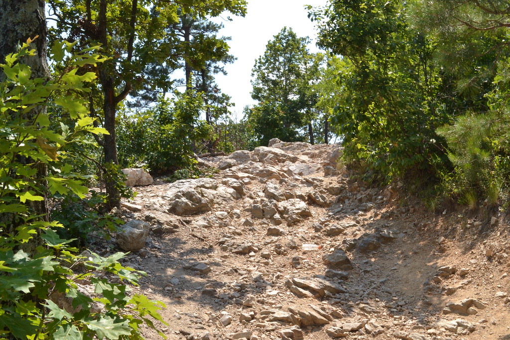 Photo: thigpen.robert, CC BY-SA 2.0 (via Flickr)
Wolf Pen Gap 6 East
~10 min drive
6.62-mile out-and-back trail in Arkansas with 368 ft of elevation gain.
 Photo: azoeart, CC BY-SA 2.0 (via Flickr)
Viles Branch Horse Trail
~13 min drive
3.40-mile out-and-back horse trail in Arkansas with 658 ft gain.
 Photo: thigpen.robert, CC BY-SA 2.0 (via Flickr)
Caney Creek
~20 min drive
19.20-mile out-and-back trail in Arkansas with 1,308 ft gain.
HIKE
Viles Branch
~10 min drive
46.6-mile out-and-back trail in Arkansas with 1,749 ft elevation gain.
 Photo: azoeart, CC BY-SA 2.0 (via Flickr)
Athens-Bigfork South
~11 min drive
2.92-mile out-and-back trail in Arkansas with 605 ft elevation gain
 Photo: thigpen.robert, CC BY-SA 2.0 (via Flickr)
Wolf Pen Gap 8
~14 min drive
9.38-mile out-and-back trail in Arkansas with 603 ft elevation gain.
HIKE
Little Missouri North
~2 min drive
6.40-mile out-and-back trail in Arkansas with 631 ft gain and 760 ft loss.
Photo: thigpen.robert, CC BY-SA 2.0 (via Flickr)Wolf Pen Gap 826
~11 min drive
Wolf Pen Gap 826 is a 1.16-mile out-and-back trail in Arkansas with 210 ft of elevation gain.
 Photo: thigpen.robert, CC BY-SA 2.0 (via Flickr)
Wolf Pen Gap 8
~16 min drive
3.33-mile out-and-back trail in Arkansas with 471 ft gain.
HIKE
C.Creek - Buckeye Mtn
~8 min drive
9.40-mile out-and-back trail in Arkansas with 1,120 ft elevation gain.

