
Saddlehorn Campground (Loop C)
Campground
4.7 mi from the trail
 Photo: iagoarchangel, CC BY-SA 2.0 (via Flickr)
Ute Canyon is a climbing area in Colorado National Monument, managed by the National Park Service. It sits within the monument's land, and a fee is charged for access. Spring and fall are the most comfortable times to visit. Typical averages from a nearby weather station show May highs around 74°F and October highs around 66°F, while July averages about 93°F and winter brings highs near 39°F with a few snowy days each month. The climbing here is all trad, with five routes ranging from 5.6 to 5.11+. Walmart Tower-Twelve Pack of Tube Socks is the easiest at 5.6, and NWS is the hardest at 5.11+. Fallen Rock Climbs is about 0.4 miles away, and the Ute Canyon Trail is about 0.7 miles away. Saddlehorn Campground is roughly 4.8 miles off.
5 routes · 5.6 – 5.11+ · Trad
Where it is: Colorado National Monument
Near: Grand Junction
Best months: April–May and September–October. Best months have typical highs of 55–85 °F, lows of 30 °F or warmer (32 °F where the station doesn't record snow), at most one snowy day and no more than 12 wet days.
Jan
39°
21°
6 wet · 4 snow
Feb
45°
25°
5 wet · 3 snow
Mar
56°
34°
6 wet · 2 snow
Apr
63°
39°
6 wet · 1 snow
May
74°
49°
6 wet
Jun
87°
58°
4 wet
Jul
93°
65°
6 wet
Aug
90°
62°
7 wet
Sep
80°
54°
7 wet
Oct
66°
41°
6 wet
Nov
50°
31°
6 wet · 2 snow
Dec
39°
22°
6 wet · 4 snow
Typical high / low (°F) and days with rain or snow, 1991–2020. Measured at Colorado Nm, CO, 4.6 mi away at 5,781 ft. Source: NOAA NCEI U.S. Climate Normals 1991–2020.
Been here? Tell people how it was.
 Fallen Rock ClimbsRock climbingPhoto: iagoarchangel, CC BY-SA 2.0 (via Flickr)0.4 mi
 Astro Bunny AreaRock climbingPhoto: daveynin, CC BY 2.0 (via Flickr)0.7 mi
 Ute Canyon TrailHikingPhoto: iagoarchangel, CC BY-SA 2.0 (via Flickr)0.7 mi
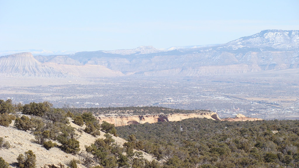 Otto's TrailHikingPhoto: iagoarchangel, CC BY-SA 2.0 (via Flickr)1.4 mi
 Liberty CapRock climbingPhoto: iagoarchangel, CC BY-SA 2.0 (via Flickr)2 mi
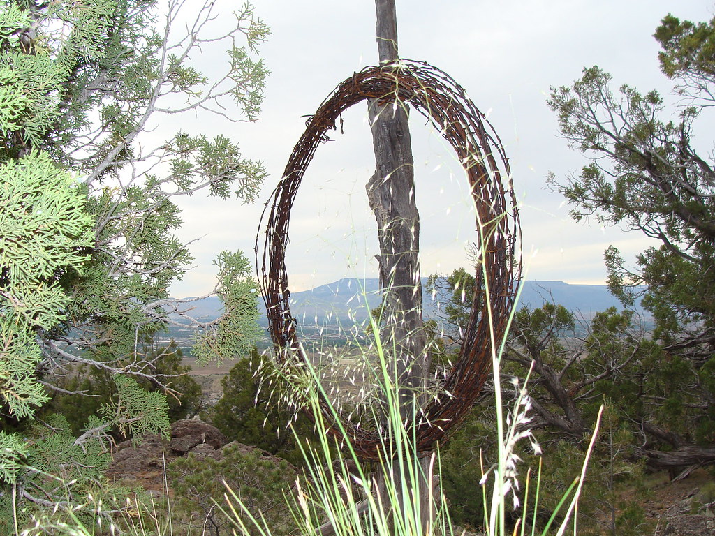 Corkscrew TrailHikingPhoto: iagoarchangel, CC BY-SA 2.0 (via Flickr)2.3 mi
 Saddlehorn CampgroundCampingPhoto: Recreation.gov (RIDB) / public domain4.8 miFallen Rock ClimbsRock climbingPhoto: iagoarchangel, CC BY-SA 2.0 (via Flickr)Next doorAstro Bunny AreaRock climbingPhoto: daveynin, CC BY 2.0 (via Flickr)~1 min driveLiberty CapRock climbingPhoto: iagoarchangel, CC BY-SA 2.0 (via Flickr)~3 min drive
 The GypsiesRock climbingPhoto: iagoarchangel, CC BY-SA 2.0 (via Flickr)~3 min driveMetamorphic CanyonRock climbingPhoto: iagoarchangel, CC BY-SA 2.0 (via Flickr)~4 min drive
 Kissing Couple areaRock climbingPhoto: daveynin, CC BY 2.0 (via Flickr)~6 min drive
 Devil's KitchenRock climbingPhoto: iagoarchangel, CC BY-SA 2.0 (via Flickr)~6 min driveColorado National MonumentRock climbingPhoto: daveynin, CC BY 2.0 (via Flickr)~7 min driveIndependence MonumentRock climbingPhoto: daveynin, CC BY 2.0 (via Flickr)~7 min drive
 Organ Pipe Spire and Pipe Organ SpireRock climbingPhoto: daveynin, CC BY 2.0 (via Wikimedia Commons)~7 min drive
Daily highs and lows, wind and the chance of precipitation at Ute Canyon for the next 7 days, from the Open-Meteo model.
Questions about Ute Canyon: conditions, access, timing. Answers say when something isn't known.
Saddlehorn Campground (Loop C)
Campground
 If it rainsJeffrey Beall, CC BY-SA 3.0 · Wikimedia Commons
Places © OpenStreetMap contributors, Places © Overture Maps Foundation · Photos: Jeffrey Beall, CC BY-SA 3.0 (commons)
More in Clifton