Silver Basin
At a glance
Silver Basin is a 3-mile out-and-back hike in Colorado's Collegiate Peaks Wilderness, within the Leadville Ranger District of the Pike and San Isabel National Forests. The trail rises from about 10,680 feet to 11,236 feet, a climb of 558 feet, and is managed by the Forest Service. The route is rated hard, and the trail surface is natural. Horses are allowed, but bikes are not. The trailhead is called Silver Basin Trailhead, and the hike is open year-round. Summer is the most comfortable time to go. Typical averages from a nearby weather station at Leadville, which sits about 1,300 feet lower, show July highs around 71°F with lows near 39°F. That station's July is also the wettest month of the year, with about 12 wet days. Huron Peak lies just 0.4 miles away, and North Huron is 0.9 miles off. The Main Buttress climbing area is about 1.7 miles away, and Winfield Trailhead offers camping about 2.4 miles from the trail.
- round trip
- 3.0 mi
- climb
- 558 ft
- high point
- 11,236 ft
- route
- Out and back
Where it is: Collegiate Peaks Wilderness · Leadville Ranger District
Been here? Tell people how it was.
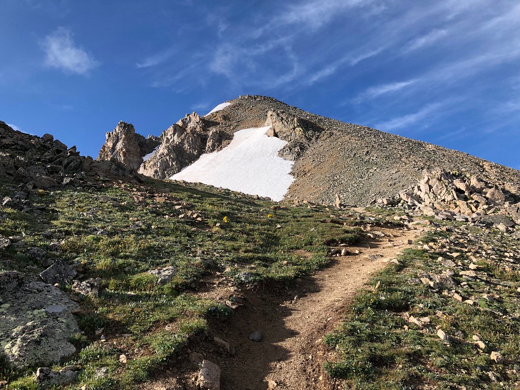 North HuronHikingPhoto: supercraigtalbert, CC BY 2.0 (via Flickr)~2 min drive
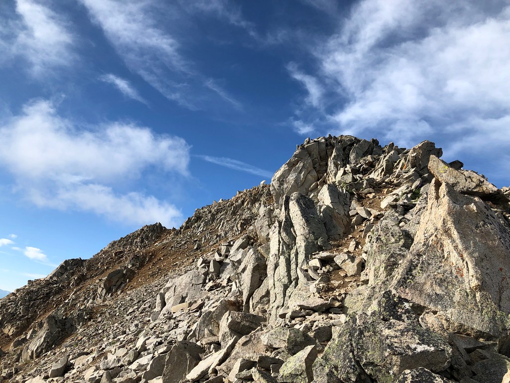 Three ApostlesHikingPhoto: supercraigtalbert, CC BY 2.0 (via Flickr)~2 min drive
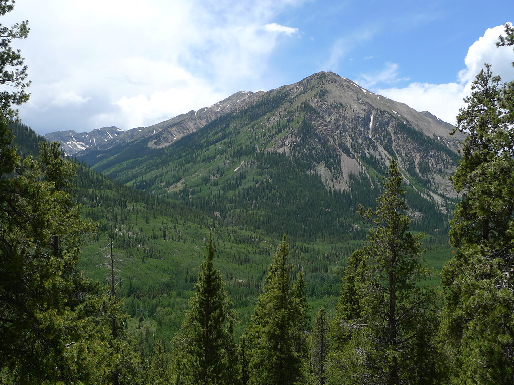 Mount HopeHikingPhoto: jl_2, CC BY-SA 2.0 (via Flickr)~7 min drive
 Missouri MtnHikingPhoto: Mark Crockett, CC BY 3.0 (via Wikimedia Commons)~8 min drive
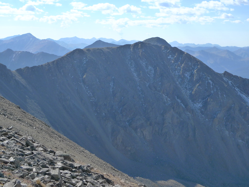 Missouri Mtn - Clohseys LakeHikingPhoto: jl_2, CC BY-SA 2.0 (via Flickr)~6 min drive
- Lake Ann TrailHiking~4 min drive
- Emerald PeakHikingPhoto: jl_2, CC BY-SA 2.0 (via Flickr)~7 min drive
- Mt. Belford - Missouri GulchHikingPhoto: Mark Crockett, CC BY 3.0 (via Wikimedia Commons)~9 min drive
- Quail MountainHikingPhoto: jl_2, CC BY-SA 2.0 (via Flickr)~7 min drive
- North Fork Clear CreekHiking~4 min drive
Conditions and forecast
Daily highs and lows, wind and the chance of precipitation at Start for the next 7 days, from the Open-Meteo model.


Ask about this place
Questions about Silver Basin: conditions, access, timing. Answers say when something isn't known.
